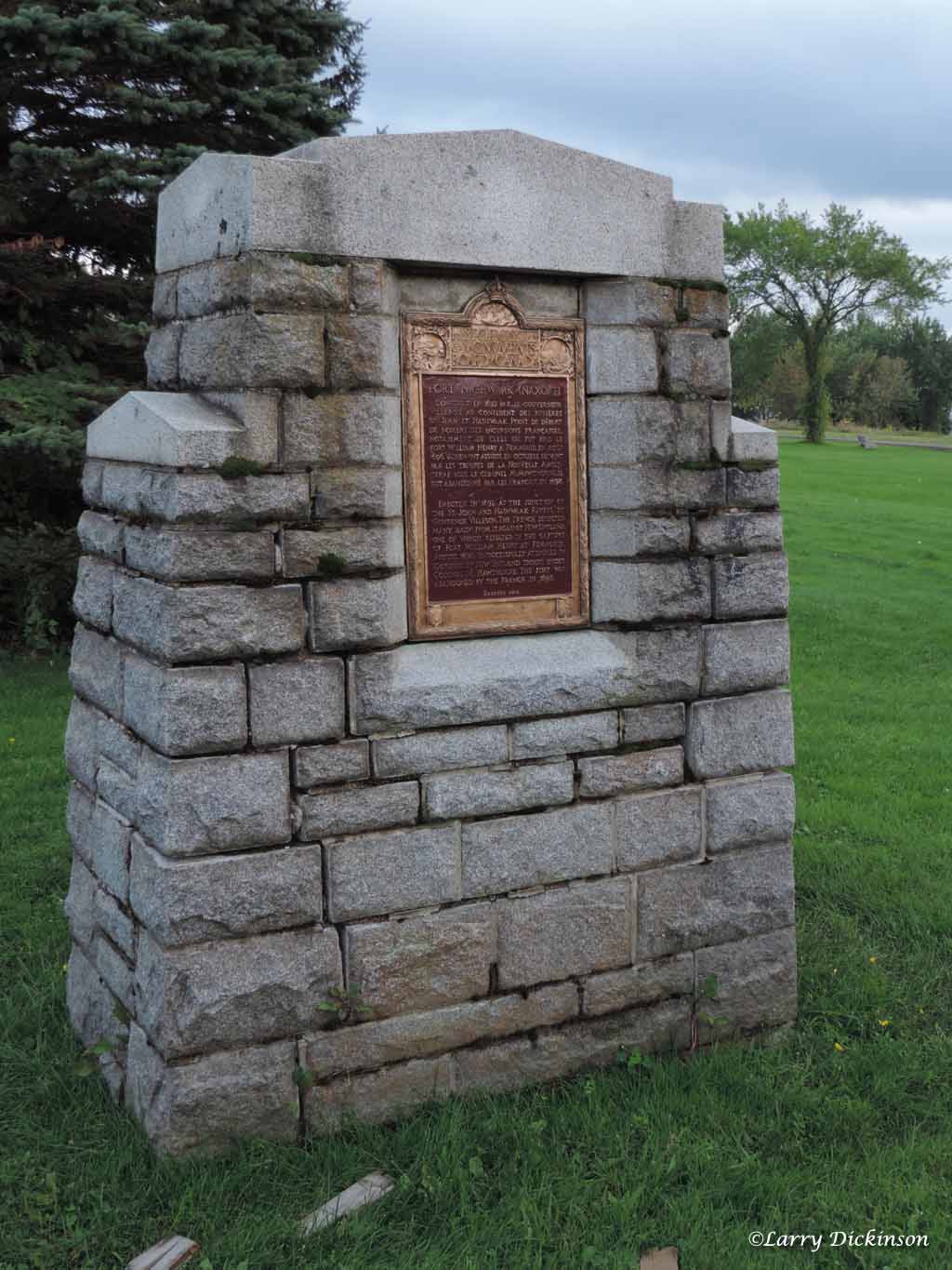
Fort Nashwaak
For nearly a decade at the end of the 17th century, the capital of Acadia was not a coastal settlement or a fortified port but a wooden fort on the Nashwaak River, deep in the interior of what is now New Brunswick. Fort Nashwaak -- also known as Fort Naxoat or Fort St. Joseph -- stood where the Nashwaak flows into the Saint John River, positioned to command the waterway and to maintain contact with the nearby Maliseet village at Fort Meductic. From this remote outpost, the Governor of Acadia launched raids that terrorized the New England frontier and defended against British retaliation. Today, a monument on the site marks a National Historic Site of Canada designated in 1924, but the fort itself vanished long ago, claimed by a flood shortly after its abandonment in 1700.
A Capital in Retreat
Fort Nashwaak owed its existence to defeat. In 1690, during King William's War, the British captured Port Royal, Acadia's traditional capital on the Bay of Fundy. Governor Joseph de Villebon needed a new seat of government, one that was harder for the British to reach by sea. He chose a location at Nashwaaksis, on the north side of the Saint John River at the mouth of the Nashwaak River, and built his fort there in 1691-1692. It replaced Fort Jemseg, which had itself replaced Port Royal as the capital. The pattern told a story of French Acadia under pressure, retreating upriver with each British advance, seeking safety in distance and the dense forests of the interior.
Raids on the New England Border
What Fort Nashwaak lacked in grandeur, it made up for in strategic utility. From its walls, de Villebon coordinated a campaign of raids against English settlements along the New England frontier, working closely with Abenaki and other First Nations allies who knew the forest trails better than any European. After Claude-Sebastien de Villieu led the successful Raid on Oyster River -- a devastating attack on the New Hampshire settlement in 1694 -- he joined de Villebon as commander at Fort Nashwaak. Together, they executed further strikes against English border communities, supplied and supported by the Comte de Frontenac, the powerful Governor General of New France. The fort became a nerve center for irregular warfare, where French officers and Indigenous warriors planned operations that kept the English settlements in a state of constant anxiety.
The Siege That Failed
De Villebon's most significant military success came in 1696 with the Siege of Pemaquid, which destroyed an important English fort on the Maine coast. The British, stung by the loss, resolved to strike at the source. Later that year, they launched a siege against Fort Nashwaak itself, sailing up the Saint John River to attack the Acadian capital directly. The attempt failed. De Villebon's garrison, supported by Indigenous allies, held the fort against the British assault. It was a rare moment of outright defensive victory for Acadia, a colony more accustomed to guerrilla tactics than set-piece battles. The fort's position, far from the coast and surrounded by dense forest, made it a difficult target for a naval force unused to riverine warfare.
The River Takes It Back
Governor de Villebon died in 1700, and without his leadership, the strategic rationale for maintaining such an isolated capital weakened. A devastating flood on the Saint John River finished what politics had begun, destroying much of the fort's structure and rendering the site untenable. The capital of Acadia shifted again, and Fort Nashwaak was abandoned to the river and the forest. Today, the site lies within the city of Fredericton, in the Nashwaaksis neighborhood on the north bank of the Saint John River. A monument erected at the location acknowledges this forgotten chapter: the years when the capital of a vast French colonial territory occupied a wooden fort at the confluence of two rivers, defended by a garrison of soldiers and their Indigenous allies against an empire that would eventually overwhelm them both.
From the Air
Located at 45.96°N, 66.63°W in the Nashwaaksis area of Fredericton, New Brunswick, at the confluence of the Nashwaak and Saint John Rivers. No physical remains of the fort are visible from the air, but the river confluence that made the site strategic is clearly visible. The monument is on the north bank of the Saint John River. Fredericton International Airport (CYFC) is approximately 15 km southeast.