Fort Peck Indian Reservation
Sitting Bull surrendered at Fort Buford on July 19, 1881, ending years of resistance that had taken him from the Little Bighorn to the plains of Canada and back. Some of his Hunkpapa followers drifted to Fort Peck rather than follow him into captivity, intermarrying with the Assiniboine and Sioux already living along the Missouri. Their descendants still live in the Chelsea community today. This northeastern Montana reservation, the ninth-largest in the United States, carries the weight of that history while writing new chapters about bison restoration and tribal sovereignty.
Two Nations, One Land
Fort Peck Reservation is home to two distinct peoples speaking related Siouan languages. The Assiniboine bands of Canoe Paddler and Red Bottom share this land with Sioux divisions including the Sisseton-Wahpeton, Yanktonai, and the Teton Hunkpapa who arrived with Sitting Bull's scattered followers. Together they form the Fort Peck Assiniboine and Sioux Tribes, with roughly 11,000 enrolled members, half of whom live on the reservation. To be enrolled, a person must document at least one-quarter Fort Peck Indian blood through the tribe's blood quantum records. The reservation sprawls across parts of four Montana counties, covering over two million acres along the north side of the Missouri River.
The Starvation Years
By 1881, commercial hunters had slaughtered the wild bison nearly to extinction, eliminating the foundation of Plains Indian life. The consequences at Fort Peck were devastating. During the brutal winter of 1883-1884, more than 300 Assiniboine died of starvation while forcibly held at the Wolf Point sub-agency. Government rations proved woefully insufficient. The following year, the Indian Rights Association convinced Congress to make a special appropriation for the starving people at Wolf Point, and residents built a dam to enable irrigation. The Dawes Act of 1887 began the process of dividing tribal lands into individual allotments, and by 1908 Congress had opened surplus reservation land to non-Indian homesteaders, further eroding the tribal land base.
Governing Their Own
The Fort Peck Tribes adopted their first written constitution in 1927, seven years before the Indian Reorganization Act offered a federal template that the tribes voted to reject in 1934. Their current constitution, rewritten and adopted in 1960 under Chairman Austin Buckles, remains one of the few modern tribal constitutions that still includes provisions for general councils, preserving the traditional form of tribal governance. The Tribal Executive Board governs from headquarters in Poplar, widely considered the reservation's capital, with twelve voting members plus a chairman, vice-chairman, secretary-accountant, and sergeant-at-arms elected at large every two years. The tribe maintains its own court system, jail, and treatment center.
The Bison Come Home
In March 2012, 63 American bison from Yellowstone National Park arrived at Fort Peck, the first of what the tribe hopes will become a self-sustaining herd of 1,000 animals. These are not ordinary bison. The Yellowstone herd is one of the very few in North America not crossbred with cattle, making them genetically invaluable for restoration efforts. Native Americans across the region celebrated the transfer, which came more than a century after bison were deliberately eliminated to force Plains tribes onto reservations. By November 2014, an additional 136 Yellowstone bison had joined the herd on an expanded preserve north of Poplar. The tribe now serves as a quarantine facility, receiving Yellowstone bison for eventual transfer to other tribal nations across the continent.
Living on the Land
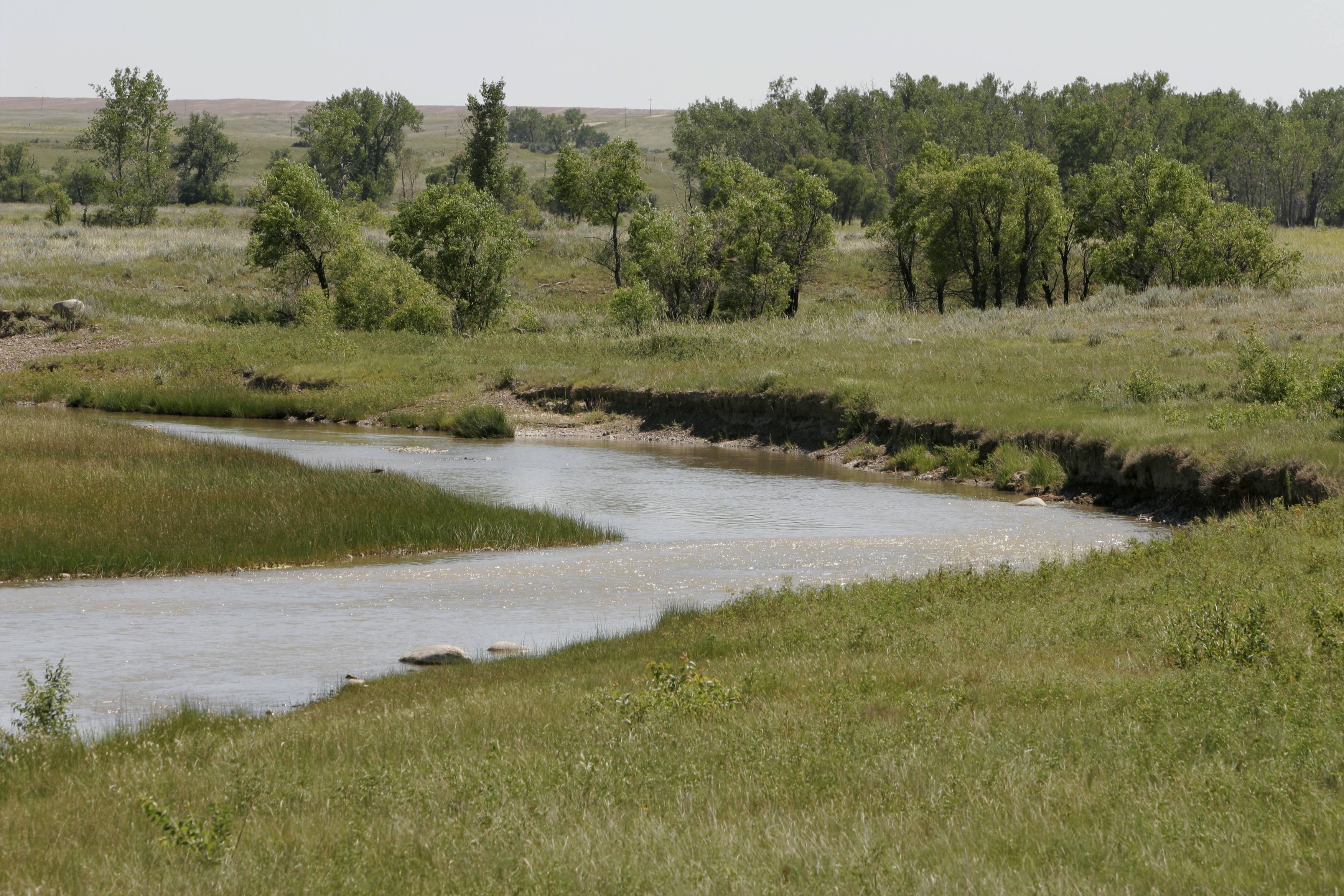
The reservation stretches 110 miles long and 40 miles wide across Montana's northeastern corner. Population clusters along the southern border near the Missouri River and the transportation routes that follow it: U.S. Highway 2 and the Amtrak line running on Burlington Northern tracks. Wolf Point is the largest community, with smaller settlements at Poplar, Brockton, Frazer, and Fort Kipp scattered across the prairie. The Fort Peck Tribes is the largest employer on the reservation and in the surrounding region, with over 350 employees. Big-game hunting is restricted to enrolled tribal members, though upland bird hunting remains open to the public. Fort Peck Community College offers degrees in the arts, sciences, and applied sciences, training the next generation for life on lands their ancestors fought to keep.
From the Air
Located at 48.36N, 105.54W in northeastern Montana, the reservation covers over 2 million acres and is clearly visible from cruising altitude. The Missouri River forms the southern boundary, with Fort Peck Lake visible to the southwest. The town of Wolf Point sits along U.S. Highway 2 and the Burlington Northern rail line. Best viewed at 5,000-8,000 feet AGL where the reservation's extent becomes apparent. Nearest airports: L.M. Clayton (K76S) at Wolf Point, or Glasgow International (KGGW) approximately 30 nm west. The bison preserve north of Poplar may be visible as a fenced area on clear days. U.S. Highway 2 and the rail line provide excellent visual navigation references across this flat terrain.