Fort Pilar
The cornerstone was laid on June 23, 1635, by a Jesuit priest-engineer named Melchor de Vera. That date would come to mark the founding of Zamboanga as a city, but the fort itself was born of a more immediate concern: the sultans of Mindanao and Jolo had been sending pirates and raiders against Spanish settlements, and the missionaries who lived among the local population were begging for protection. What rose on the southern tip of the Zamboanga Peninsula was the Real Fuerte de San Jose -- a stone fortress that would be renamed, rebuilt, abandoned, attacked, and rebuilt again over nearly four centuries. Today it is called Fort Pilar, and it still stands at the water's edge, watching over the Basilan Strait.
Born from Many Hands
Building Fort Pilar required a workforce drawn from across the Spanish colonial world. Laborers arrived from Cavite, Cebu, Bohol, and Panay to work alongside Spaniards, Mexicans, and Peruvians under the governorship of Sebastian Hurtado de Corcuera, the former governor of Panama. This unlikely mixing of languages and peoples at a remote construction site produced something no one planned: the pidgin that would eventually develop into Zamboangueno Chavacano, a Spanish-based creole language still spoken by hundreds of thousands of people today. The fort's walls were built from stone, but its most enduring legacy may be linguistic.
Besieged and Rebuilt, Again and Again
Fort Pilar's history reads like a catalog of the forces that shaped Southeast Asia. The Dutch attacked in 1646. The Spanish abandoned the fort in 1662 to rush back to Manila and defend against the Chinese pirate Koxinga. Jesuit missionaries rebuilt after pirates destroyed it again in 1669. In 1718, the fort was reconstructed by the Spanish engineer Juan Sicarra and renamed Real Fuerte de Nuestra Senora del Pilar de Zaragoza, in honor of Spain's patron virgin. A year later, Dalasi, king of Bulig, arrived with 3,000 Moro fighters. The defenders held. The British Royal Navy bombarded the fort in 1798. The defenders held again. Each assault left scars; each rebuilding added another layer of stone and meaning.
The Virgin Over the Strait
Outside the fort's eastern wall stands a Marian shrine dedicated to Our Lady of the Pillar, the patroness of Zamboanga City. The shrine's origin story reaches back to one of the Dutch sieges, when, according to tradition, the Blessed Virgin Mary appeared to a Spanish soldier and assured him of victory if the garrison held out. On September 21, 1897, when a powerful earthquake struck western Mindanao and triggered a tsunami, witnesses reported seeing the Virgin floating over the Basilan Strait with her right hand raised to command the waves to stop. The city survived. Both Muslims and Christians in Zamboanga venerate this site, making it one of the rare places where the two faiths share devotional ground. The image was pontifically crowned on October 12, 1960.
Revolution and Surrender
The fort changed hands for the final time during the Philippine Revolution. On May 18, 1899, the Spanish garrison surrendered to General Vicente Alvarez, a Zamboangueno who had assembled a diverse revolutionary army of Christians, Muslims, and tribal warriors. The moment briefly established the Republic of Zamboanga. Six months later, American expeditionary forces captured the fort, and it would pass through Japanese hands during World War II before being turned over to the Republic of the Philippines on July 4, 1946.
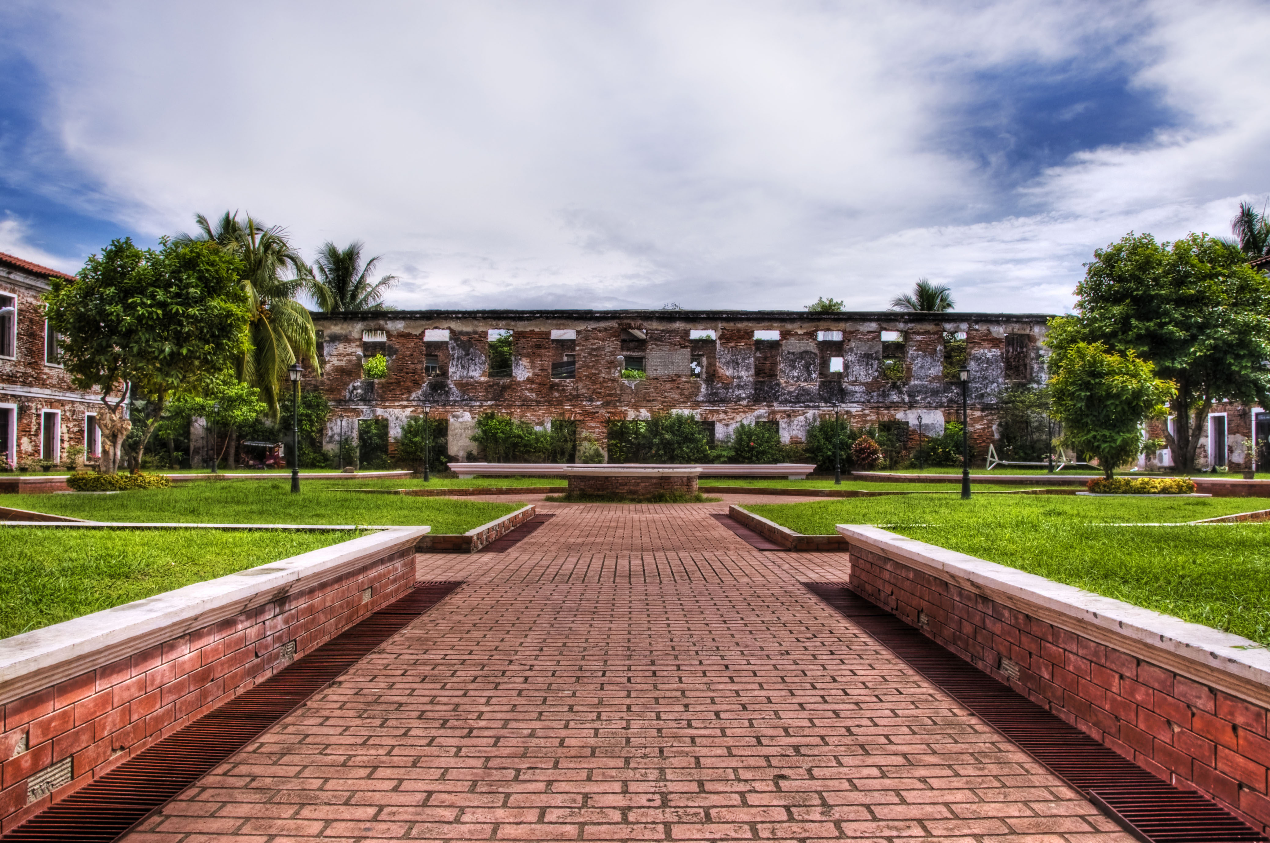
A Museum in Stone
By the time Fort Pilar was declared a National Cultural Treasure in 1973 under Presidential Decree No. 260, it had been crumbling since the war. The National Museum of the Philippines began restoration in 1980, reconstructing three of the four interior structures over six years. When it reopened as a regional museum, the inaugural exhibit featured Philippine contemporary art -- a forward-looking gesture for a building whose every wall tells a story about the past. Visitors today walk corridors where Spanish soldiers once kept watch, past La Cruz Mayor and the bells of the sanctuary, through a courtyard where one section remains deliberately in ruins, a reminder that not everything needs to be rebuilt to be remembered.
From the Air
Fort Pilar sits at 6.901N, 122.082E on the southern waterfront of Zamboanga City, visible as a compact stone fortification near the water's edge along the Basilan Strait. The nearest airport is Zamboanga International Airport (RPMZ), approximately 3 km northeast. At 2,000-3,000 ft AGL, the fort's rectangular layout and adjacent shrine are distinguishable from the surrounding urban fabric. The Basilan Strait and Santa Cruz Islands are prominent landmarks to the south.