Fort Portal
There is a statue of Sir Gerald Portal on the main road of Fort Portal, and it has inspired a running joke among locals and visitors alike. Yes, he has a gun in his pocket. Yes, he is pleased to see you. The bronze likeness of the British explorer who gave this town its name is one of the more lighthearted artifacts of colonialism you will find in East Africa, and its irreverent local commentary says something about the character of the place. Fort Portal is not a destination in itself so much as a threshold, a compact town perched at about 1,500 meters on the edge of Uganda's equatorial rainforest, where the foothills of the Rwenzori Mountains begin their climb toward glaciated peaks.
Gateway to Green
Fort Portal's reason for existing, in practical terms, is its proximity to some of the richest wildlife areas in East Africa. Kibale Forest National Park lies roughly 35 kilometers to the south, home to the highest density of primates on the planet. Queen Elizabeth National Park, with its 95 mammal species and over 600 recorded bird species, sits less than an hour's drive away on the road to Mbarara. The Kazinga Channel connecting Lakes Edward and George holds one of the world's largest concentrations of hippos. And the Rwenzori Mountains, the fabled Mountains of the Moon, rise to the west with their snow-capped peaks and equatorial glaciers. Fort Portal is the last comfortable stop before all of it, the place where you fill your tank, stock your supplies, and eat your last meal at a table with a tablecloth.
Tea Country
The hills around Fort Portal are draped in tea. The Kabarole District's cool climate and high elevation slow plant growth, which produces a dense, high-quality leaf prized for its flavor and health properties. The plantations spread across the landscape in vivid green rows that look almost manicured against the rougher vegetation of the surrounding forest. Visiting one of these estates offers a glimpse into an industry that has been central to Fort Portal's economy for generations. In any local shop, you can buy the finished product, but walking the rows where workers hand-pick the young leaves puts the cup in context. The tea grown here is considered among Uganda's finest, and the cooler temperatures that make it exceptional are the same ones that make Fort Portal surprisingly pleasant for a town sitting practically on the equator.
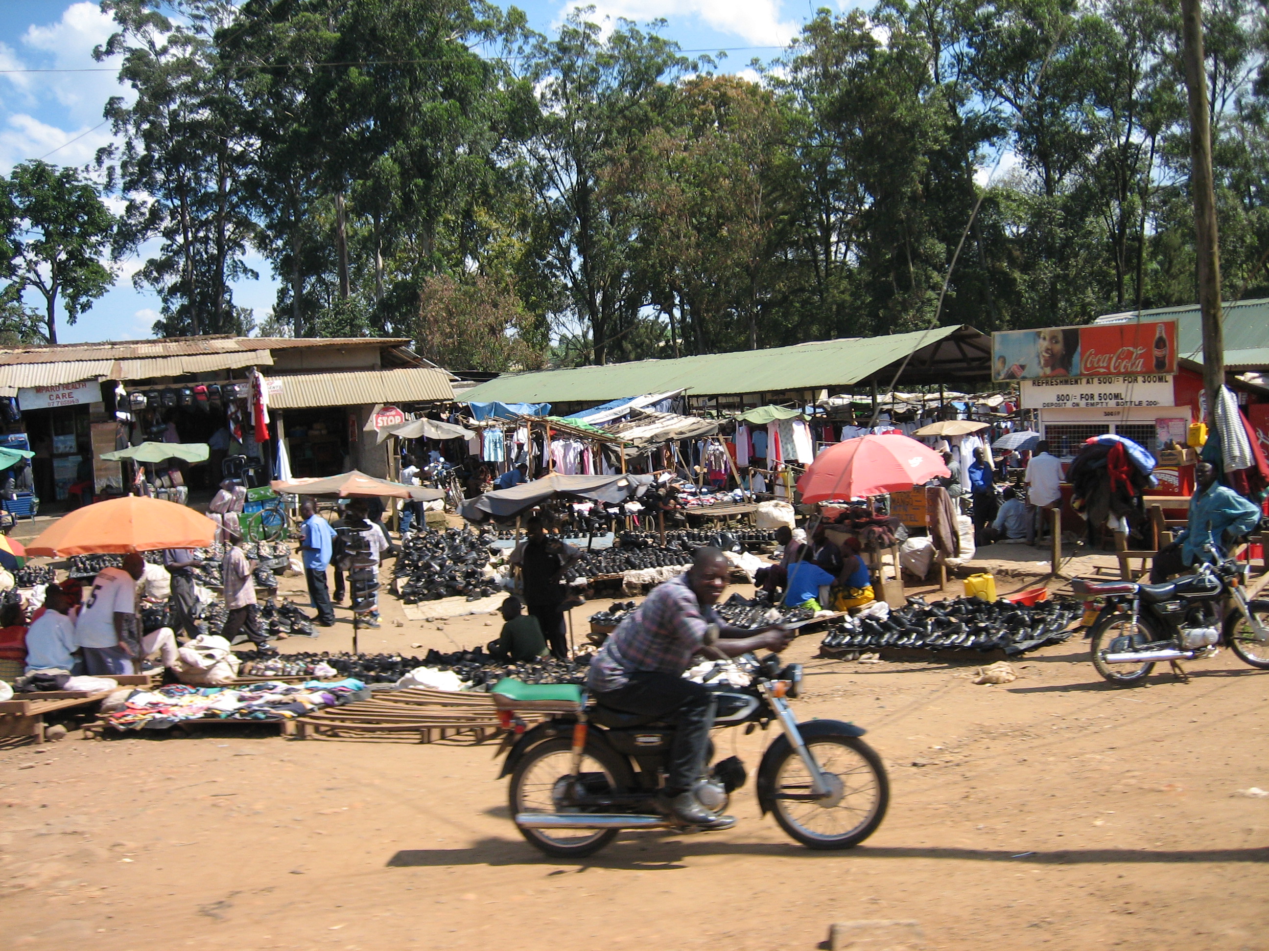
Boda-Bodas and Roundabouts
Fort Portal is a walking town. You can cover its center on foot in an hour, navigating past the main roundabout where private-hire taxis wait for passengers and boda-boda motorcycle drivers cruise for fares. The boda-bodas will take you anywhere for about 1,000 Ugandan shillings, weaving through traffic with a confidence that borders on recklessness. Local wisdom suggests treating the experience as an adventure rather than a commute. The town's restaurants reflect its role as a crossroads: the Gardens Restaurant on Lugard Road and the Dutchess Restaurant on Mugurusi Road serve pizza alongside Ugandan staples like matoke, chapati, and stewed greens. Go early, because food preparation here operates on a different clock. Half an hour for simple fast food is not uncommon, but the wait usually proves worth it.
Where the Forest Begins
Step outside Fort Portal and the landscape shifts abruptly. Lakes, grasslands, marshes, and dense forest blanket the lower slopes of the Rwenzoris, creating one of the most biodiverse corridors in Africa. Tree houses within Kibale Forest let visitors sleep ten meters above the forest floor, listening to eight species of monkey, chimpanzees, forest elephants, bush pigs, and giant forest hogs moving through the darkness below. Crater lakes dot the surrounding countryside, their still waters reflecting the volcanic hills that formed them. This is the region Winston Churchill once called the Pearl of Africa, and while that phrase has been borrowed by tourism boards and hotel brochures ever since, it was not empty flattery. The fertility of this equatorial zone, where two lakes connect through a channel overlooked by high peninsulas and volcanic craters punctuate grassy plains, produces a landscape of almost unreasonable beauty.
From the Air
Located at 0.66°N, 30.28°E in the Kabarole District of western Uganda. The town sits at approximately 1,500 meters elevation at the base of the Rwenzori Mountains. Tea plantations and crater lakes are visible from altitude. Nearest airports: Kasese Airport (HUKA) to the south and Entebbe International Airport (HUEN) approximately 300 km east. The Rwenzori range with glaciated peaks rises prominently to the west.