Fort Sumter and Fort Moultrie National Historical Park
At 4:30 on the morning of April 12, 1861, a single mortar round arced across Charleston Harbor and exploded above a pentagonal brick fortress on an artificial island. That shell, fired from nearby Fort Johnson, signaled the start of the American Civil War. The target was Fort Sumter, and the bombardment that followed lasted 34 hours. No one died in the shelling itself, yet the echoes of those guns would claim more than 620,000 lives over the next four years. Today Fort Sumter and its older companion Fort Moultrie stand together as a National Historical Park, two sentinels of stone and sand that between them witnessed the birth of American independence and the war that nearly tore the nation apart.
Palmetto Defiance
Fort Moultrie on Sullivan's Island came first, and it arrived with a miracle. On June 28, 1776, Colonel William Moultrie and roughly 400 men of the 2nd South Carolina Regiment crouched behind walls made of palmetto logs as Admiral Sir Peter Parker's fleet of nine British warships opened fire. What happened next stunned both sides. The spongy palmetto wood absorbed cannonballs instead of splintering, the sand fill deadening every impact. The British pounded the fort all day and withdrew with shattered masts and torn sails. South Carolina's legislature renamed the fort in Moultrie's honor, and the palmetto tree earned its place on the state flag. Three more forts would be built on the same site over the next two centuries, each layer reflecting the evolving demands of coastal defense from the Revolution through World War II.
An Island Built from Scratch
Fort Sumter sits on ground that did not exist before the U.S. Army created it. After the War of 1812 exposed glaring weaknesses in American coastal fortifications, engineers surveyed a sandbar at the mouth of Charleston Harbor and decided to build there. Beginning in 1829, workers shipped roughly 70,000 tons of granite from New England to construct a 2.4-acre artificial island. The pentagonal fort rising from it was designed with walls five feet thick and 50 feet high, engineered to mount 135 heavy cannons and house 650 men. By April 1861, though, the fort was still unfinished. Major Robert Anderson held it with a garrison of just 85 soldiers when Confederate batteries opened fire from every direction. After 34 hours of bombardment, Anderson surrendered. The irony is sharp: a fortress built to protect Charleston became the flash point that nearly destroyed the nation.
The Long Siege
Fort Sumter's story did not end with that first bombardment. Union forces spent the next two years trying to retake it, pounding the fort with naval gunfire and siege artillery until the original five-story structure was reduced to a one-story mass of rubble. Confederate defenders refused to yield, reinforcing the ruins with sandbags and timber, turning wreckage into a stubborn stronghold. The fort held until February 1865, when General Sherman's march through the Carolinas made Charleston untenable and the garrison finally evacuated. On April 14, 1865, exactly four years after the surrender, Major Anderson returned to raise the same U.S. flag he had lowered in 1861. That evening, President Abraham Lincoln was shot at Ford's Theatre.
A Lighthouse for the Modern Age
The park encompasses more than battlefields. The Charleston Light on Sullivan's Island, built in 1962, rises 140 feet with its light at 163 feet above sea level, featuring a distinctive triangular cross-section designed to withstand winds of 125 miles per hour. It was the last major lighthouse constructed on the American coastline and one of the first to include an elevator and air conditioning. Its modern silhouette stands in stark contrast to the centuries-old earthworks of Fort Moultrie just steps away, a visual reminder of the long arc of defense and navigation along this harbor. Visitors cannot climb the lighthouse, but its grounds provide beach access and sweeping views of the same waters that once bristled with warships.
Between Two Shores
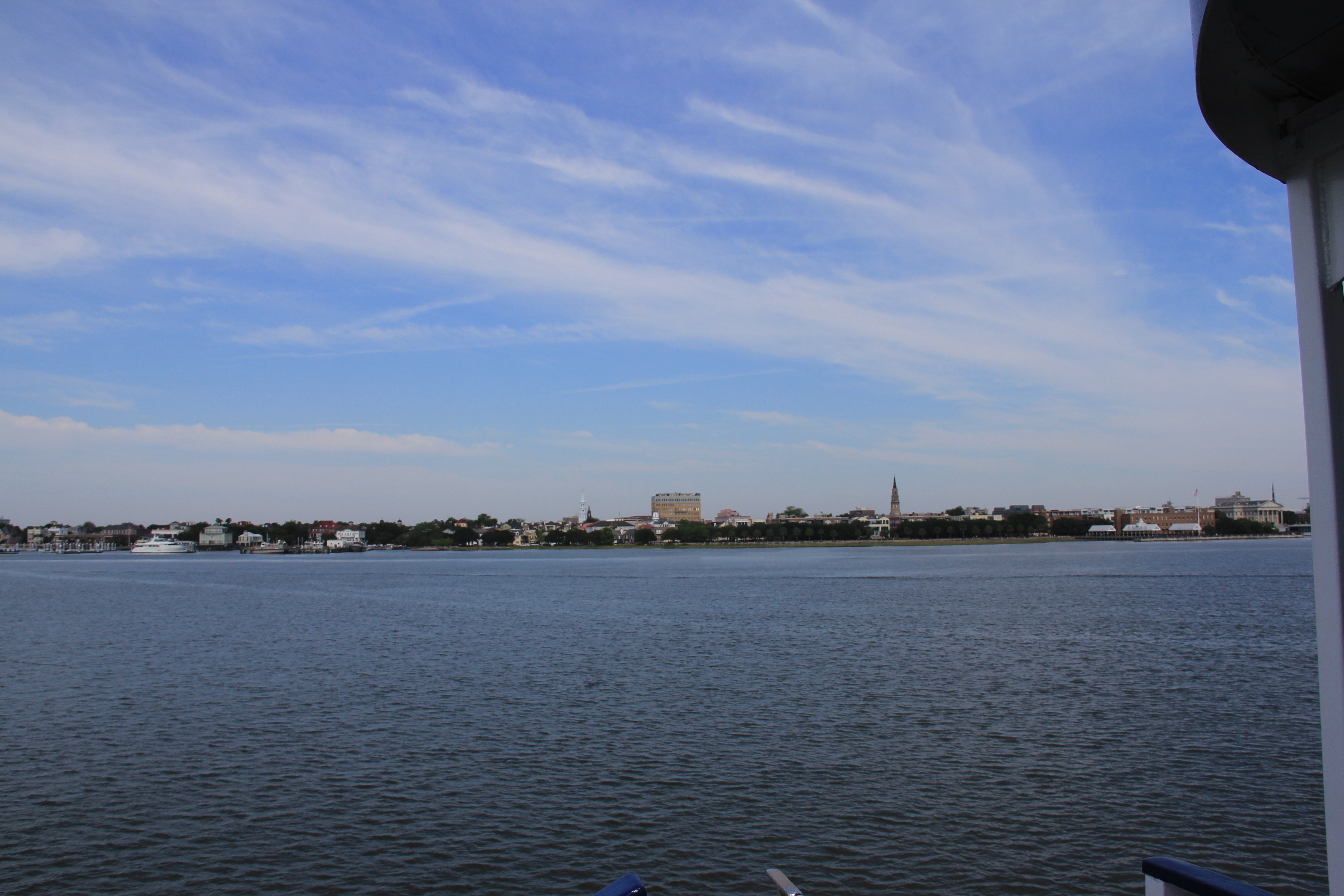
Reaching Fort Sumter requires a boat ride from Liberty Square on the Charleston waterfront, where the Fort Sumter Visitor Education Center tells the story of the political collapse that led to war, from the plantation economy built on enslaved labor to the formation of the Confederate Army. On Sullivan's Island, the Fort Moultrie Visitor Center traces American seacoast defense from 1809 to 1947. Standing at either fort, the view across the harbor frames the other, a physical conversation across the water about two very different chapters of American conflict. The park's two sites, separated by miles of tidal marshland and open harbor, together preserve nearly 250 years of the choices and consequences that shaped the nation.
From the Air
Fort Sumter sits on its artificial island at 32.752N, 79.875W in the mouth of Charleston Harbor, clearly visible as a dark pentagonal shape surrounded by water. Fort Moultrie is on the western tip of Sullivan's Island at approximately 32.758N, 79.860W. The triangular Charleston Light is a prominent landmark nearby. Nearest major airport is Charleston International (KCHS), approximately 10 nm northwest. Charleston Executive Airport (KJZI) is closer at about 7 nm west. Best viewed at 2,000-3,000 feet AGL for both forts and the harbor channel between them. The harbor entrance is a natural visual waypoint with the jetties clearly delineating the channel.