Fort Toulouse and Fort Jackson
In 1722, the French soldiers at Fort Toulouse murdered their commanding officer. Captain Jean Baptiste Louis DeCourtel Marchand had married a high-status Creek woman named Sehoy just two years earlier, establishing a family line that would produce two of the most powerful Creek chiefs in history - Alexander McGillivray and William Weatherford. But the captain's troops, starving and neglected by a government an ocean away, mutinied. They killed Marchand, tied up his officers, and fled. The officers escaped with Creek help, the mutineers were captured and shipped to Fort Conde in Mobile for punishment, and the fort at the fork of two rivers carried on. That story - ambition, desperation, unlikely alliances, and the stubborn persistence of a contested place - defines every chapter of Fort Toulouse and Fort Jackson's three-hundred-year history.
The French Gambit
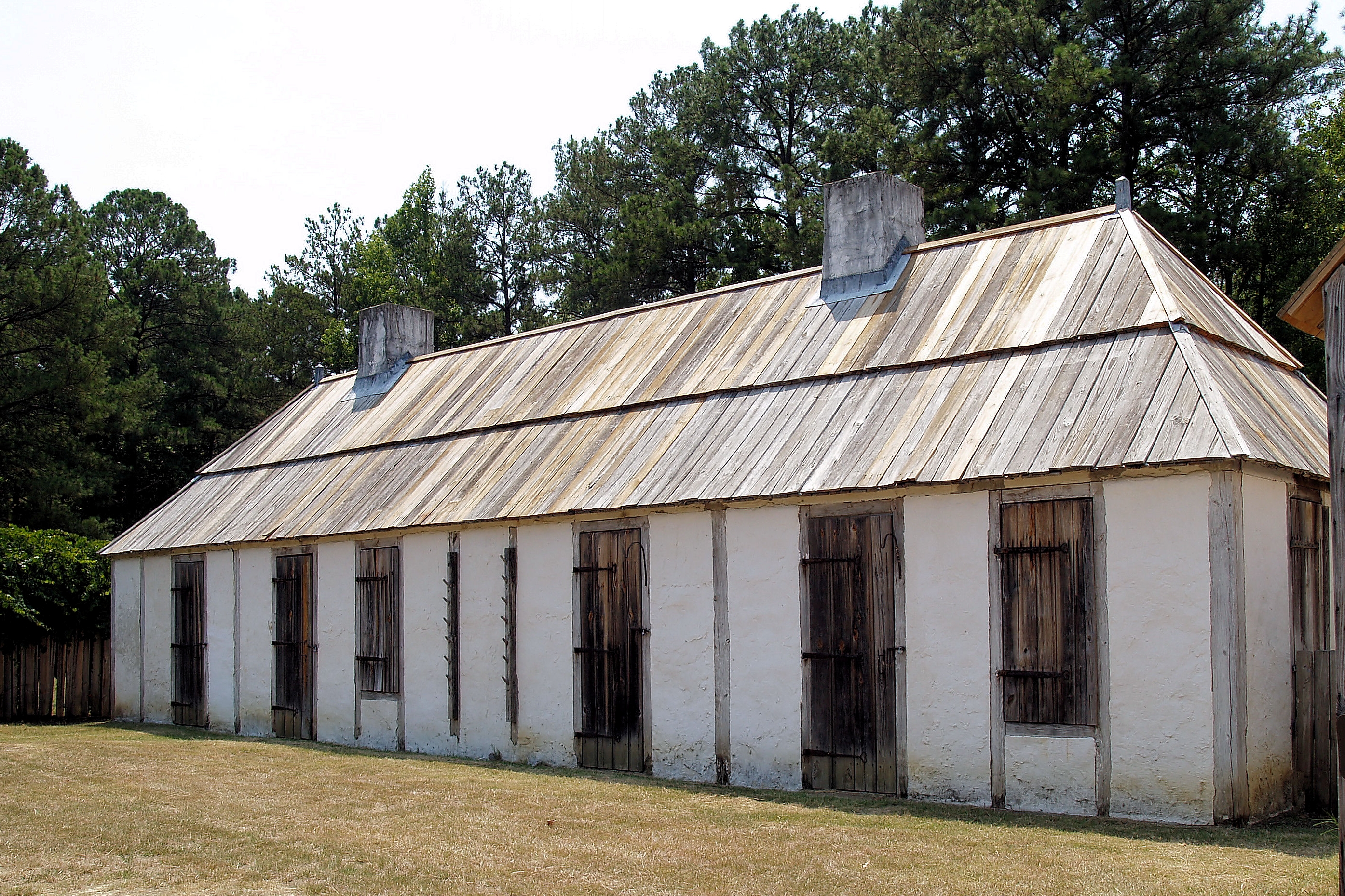
In 1717, French Louisiana planted a fort at the confluence of the Coosa and Tallapoosa rivers, right where those waters combine to form the Alabama River. They named it for Louis-Alexandre de Bourbon, comte de Toulouse, but the Creek people who lived along the riverbanks knew it as Franca choka chula. The location was strategic: the eastern edge of the Louisiana Colony, a bulwark against British influence spreading from Georgia and Carolina. Between 20 and 50 French Colonial Marines garrisoned the post at any given time, trading flintlock guns, iron tools, glass beads, copper pots, and wool blankets for food, fur, and deerskins. The relationships ran deeper than commerce. French soldiers married Creek women and French women from Mobile. Farms sprang up around the fort. By the 1740s, a genuine community had taken root at the river fork. When the humid Alabama climate rotted the fort's timbers, Captain Francois Saucier oversaw a reconstruction completed around 1751 - at a cost that consumed nearly half the military budget for the entire Louisiana colony.
Abandoned Between Empires
The Treaty of Paris in 1763 ended France's ambitions in North America. At Fort Toulouse, the departing garrison spiked their cannons so the British could not use them, then left for New Orleans and, for some, an eventual return to France. The British saw no reason to occupy the remote river post, and the fort collapsed into the Alabama mud. For decades, the site belonged to the forest and the Creek people who had never really left. In 1776, the naturalist William Bartram passed through while cataloging the region's plants and animals, noting the overgrown ruins at the confluence. The rivers kept flowing, the Creek kept living on their ancestral ground, and the forgotten fort waited for its next chapter.
Jackson's Treaty
That chapter arrived with violence. A civil war within the Creek Nation in 1813 drew American forces from Tennessee, Georgia, and Mississippi Territory into what became the Creek War. General Andrew Jackson led a combined force of Tennessee militia, U.S. regulars, and Cherokee and Creek allies against the Red Stick Creek faction. After defeating them at the Battle of Horseshoe Bend in 1814, Jackson marched to the confluence of the Coosa and Tallapoosa and ordered a new fort built directly atop the old French one - intentionally close to the Hickory Ground, a sacred Creek site. While Jackson traveled to Washington, his men named the fort in his honor. When he returned, he imposed the Treaty of Fort Jackson on both his Creek enemies and his Creek allies, stripping approximately 23 million acres from the Creek Nation for white settlement. The treaty opened the land that would become the state of Alabama.
Getting the Fort Wrong, Then Right
During the American Bicentennial in the mid-1970s, local groups rebuilt Fort Toulouse - or so they thought. The replica was mistakenly constructed on the outline of the much larger Fort Jackson rather than the smaller French original. The error stood for years until the Alabama Historical Commission acquired the park in the 1980s. They dismantled the incorrect fort, recycled its materials, and built a proper replica of Fort Toulouse near its original location. The correction left Fort Jackson's actual footprint available for a future reconstruction on the site where both forts once stood. Archaeological excavations supervised by Dr. Craig Sheldon of Auburn University at Montgomery have continued uncovering the layers of occupation. The site also features the Taskigi Mound, a prehistoric South Appalachian Mississippian culture village with a rectangular platform mound, now part of the University of Alabama's Alabama Indigenous Mound Trail.
Living History at the River Fork
Today Fort Toulouse-Fort Jackson State Historic Site runs living history programs that bring all three eras to life: the Creek inhabitants whose world centered on these rivers, the French colonists who traded and intermarried with them, and the American soldiers who changed everything. The William Bartram Arboretum commemorates the naturalist who documented the overgrown ruins between empires. The park sits southwest of Wetumpka, off U.S. Highway 231, where the Coosa and Tallapoosa still converge as they have for millennia. The rivers do not care which flag flies above their fork. They carried Creek canoes, French trade goods, and American ambitions with equal indifference, and they carry on today past the mounds and the replicas and the soil that holds three centuries of contested history.
From the Air
Located at 32.50°N, 86.26°W at the confluence of the Coosa and Tallapoosa rivers, just southwest of Wetumpka, Alabama. From the air, the river fork is the dominant landmark - two substantial waterways merging to form the Alabama River. The fort site and surrounding parkland sit on the point between the rivers. Nearest airports: Montgomery Regional Airport (KMGM) approximately 20 nm south; Wetumpka Municipal Airport (08A) is a small field closer to the site. Best viewed at lower altitudes where the river confluence and cleared fort grounds contrast with the surrounding forest.