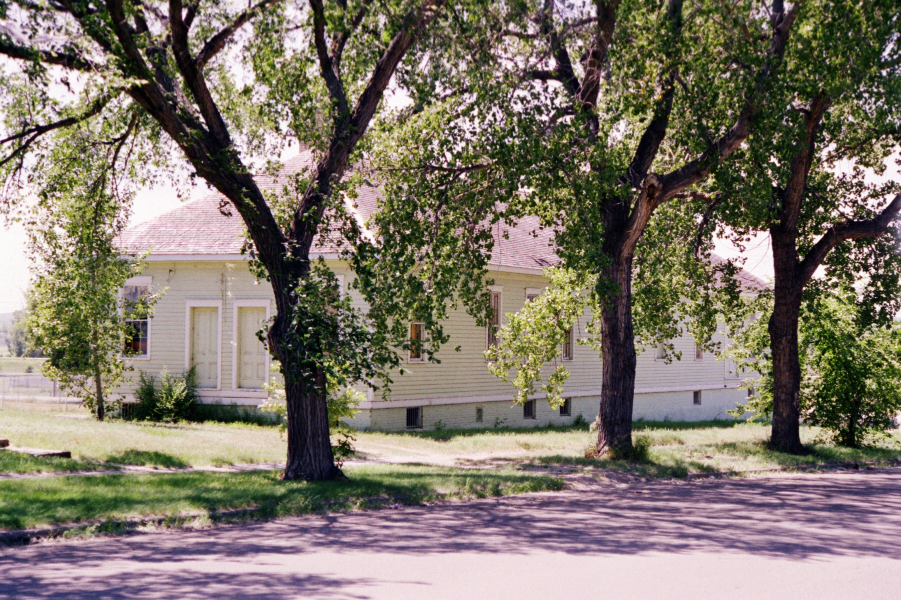
Fort Yates, North Dakota
There are two graves for Sitting Bull, and neither one tells the whole story. The Hunkpapa Lakota leader was buried at Fort Yates after his killing in 1890. He rested there for 63 years. Then, in 1953, his family authorized the exhumation of his remains and their transfer to a bluff overlooking the Missouri River near Mobridge, South Dakota, closer to his birthplace. Fort Yates kept its monument. Mobridge erected a new one, with a bust on a pedestal gazing across the water. Two places now claim the great chief's resting place -- a fitting ambiguity for a man whose legacy has been contested since the day he died. Fort Yates itself, population 176 as of the 2020 census, sits quietly on the western bank of Lake Oahe in Sioux County, North Dakota, serving as both the county seat and the tribal headquarters of the Standing Rock Sioux Tribe.
The Standing Rock Cantonment
The U.S. Army established a post here in 1863 as the Standing Rock Cantonment, a garrison intended to oversee the Hunkpapa and Blackfeet bands, along with the Inhunktonwan and Cuthead of the Upper Yanktonai, all part of the Lakota Oyate. For fifteen years it bore that functional name. In 1878, the Army renamed it Fort Yates, honoring Captain George Yates, who had been killed by the Lakota at the Battle of Little Bighorn two years earlier. The renaming carried a bitter irony: a post built to supervise the Lakota was now named for a soldier the Lakota had defeated. The town that grew around the fort took the same name. The military post was decommissioned in 1903, but the settlement endured, transitioning from Army garrison to agency headquarters to tribal capital.
The Arrest That Became a Killing
Fort Yates served as the headquarters of the U.S. Standing Rock Indian Agency, run in the late 19th century by Agent James McLaughlin. By December 1890, McLaughlin was deeply alarmed by the Ghost Dance movement spreading through the reservation, and he considered Sitting Bull its driving force. On December 14, 1890, he ordered the chief's arrest. Agency police -- non-Hunkpapa Dakota officers -- arrived at Sitting Bull's log cabin along the Grand River before dawn the next morning. The arrest went catastrophically wrong. In the chaos, Sitting Bull was shot and killed. The bungled operation set in motion a chain of events that led, two weeks later, to the Wounded Knee Massacre. Fort Yates inherited the aftermath: the body, the burial, the monument, and the long argument over what had really happened.
A College Named for a Chief
The Standing Rock Sioux Tribe made Fort Yates their seat of government, and it is here that they founded Sitting Bull College -- a tribal college named for the leader whose death had occurred just miles from where students now attend classes. The college represents something the 19th-century assimilation policies tried to prevent: education rooted in Lakota and Dakota culture, governed by the tribe itself. Fort Yates is designated the Long Soldier district, the most populous electoral district on the reservation, sending representatives to the 17-member Tribal Council that governs Standing Rock. Despite this political centrality, the town has shrunk dramatically. In 1970, Fort Yates had more than 1,100 residents. People have steadily departed in search of work, leaving a population that by 2020 had fallen to 176.
Weather at the Crossroads
Fort Yates occupies a climatic borderland as unusual as its history. The town has a semi-arid climate, with hot summers, bitterly cold winters occasionally softened by chinook winds, and dramatic swings in daily temperature. On February 2, 1992, Fort Yates recorded the highest temperature ever measured during any winter month in North Dakota -- a freakish warm spell on the northern Great Plains. The town sits at approximately 46 degrees north latitude, where multiple climate zones converge. To the northeast lies humid continental territory; to the southwest, the semi-arid steppe deepens toward the Badlands. Lake Oahe, the reservoir that drowned the Missouri River bottomland and reshaped the reservation's eastern boundary, now defines the town's geography. Fort Yates perches on its western bank, a small outpost where the Great Plains meet a man-made inland sea.
From the Air
Located at 46.09°N, 100.63°W on the western bank of Lake Oahe in Sioux County, North Dakota. The town is identifiable from the air by its position along the reservoir's shoreline, a narrow strip of settlement against the wide expanse of Lake Oahe to the east. The nearest airport with instrument approaches is Bismarck Municipal Airport (KBIS), approximately 55 miles north-northeast. Mobridge Municipal Airport (KMBG) in South Dakota is roughly 50 miles south. At 5,000-8,000 feet, the town reads as a small cluster along the lake's western shore. The contrast between the lake's blue surface and the surrounding brown-green prairie makes Fort Yates easy to spot. The Missouri River channel beneath Lake Oahe is sometimes visible as a darker line through the reservoir.