Forty Mile Point Light
For decades, mariners sailing Lake Huron between Mackinaw Point and the Saint Clair River navigated a dark stretch of coastline where no light reached them. The Presque Isle Peninsula had been lit since 1840, the Cheboygan River entrance since 1851, but between them lay miles of unlighted shore where ships sailed blind. The U.S. Lighthouse Board first requested funding for a light at Forty Mile Point in 1890. Congress took five years to approve the $25,000. By the time the light was finished in 1896, the cost of that delay had already been counted in wrecks scattered along the shore -- a stretch that earned the name "Graveyard of Ships."
Filling the Dark Gap
The logic behind Forty Mile Point Light was straightforward: no sailor should ever lose sight of a lighthouse while navigating Lake Huron's western shore. The point sits roughly at the midpoint between the New Presque Isle Light to the south and the Spectacle Reef Lighthouse to the north, filling the last significant gap in the chain. The name itself tells the geography -- Forty Mile Point is 40 miles sailing distance from Old Mackinaw Point. Unlike most Great Lakes lighthouses, it marks no harbor entrance or river mouth. It exists solely to tell passing vessels where they are on a coastline that otherwise offered no reference at night. The Lighthouse Board's plan was nearly identical to designs used for the 14 Mile Point Light on Lake Superior, built in 1894, and the Big Bay Point Lighthouse, completed in 1896. Congress was notoriously reluctant to fund Great Lakes light stations, and Forty Mile Point was no exception.
Red Brick Rising from Wood Pilings
Construction crews drove wood pilings into the sandy ground for footings and raised walls of red brick -- three courses thick, separated by a two-inch dead air space from a fourth inner course. The integrated square tower rises above the attached keeper's house, which contains two identical apartments: one for the keeper, one for the assistant. The light was completed in November 1896, but Great Lakes shipping shuts down for winter, so the lamp was not lit until April 1, 1897. The original lens was a fourth-order Fresnel, designed and manufactured by Sautter and Company in Paris, with six bull's-eye flash panels. A clockwork mechanism rotated it to emit a white flash every ten seconds. In 1919, that lens was transferred to the Sand Hills Lighthouse near Eagle River on Lake Superior. Its replacement is a remarkable artifact in its own right: assembled from parts of at least three different Fresnel lenses, including one panel made by Henry-Lepaute of Paris in 1872. It is the last working classic lens on Lake Huron.
The Graveyard of Ships
Seventeenth-century French explorers called Lake Huron La Mer Douce -- the sweet or freshwater sea. Violent storms on the sweet sea made it anything but gentle for ships. As of 2006, 1,200 wrecks had been recorded on Lake Huron. The coastline near Forty Mile Point earned especially grim distinction. During the Big Blow of 1905, 27 wooden vessels were lost on the Great Lakes, and the steamer Joseph S. Fay ran aground near the lighthouse. A portion of her hull still rests on the beach approximately 200 feet north of the tower. The Great Storm of 1913 sank still more modern ships in these waters. Lake Huron's 30,000 islands and vast shoreline create conditions where sudden storms can trap vessels against a coast that offers few safe harbors. A Michigan historical marker at the site designates it as both the Forty Mile Point Lighthouse and the Graveyard of Ships.
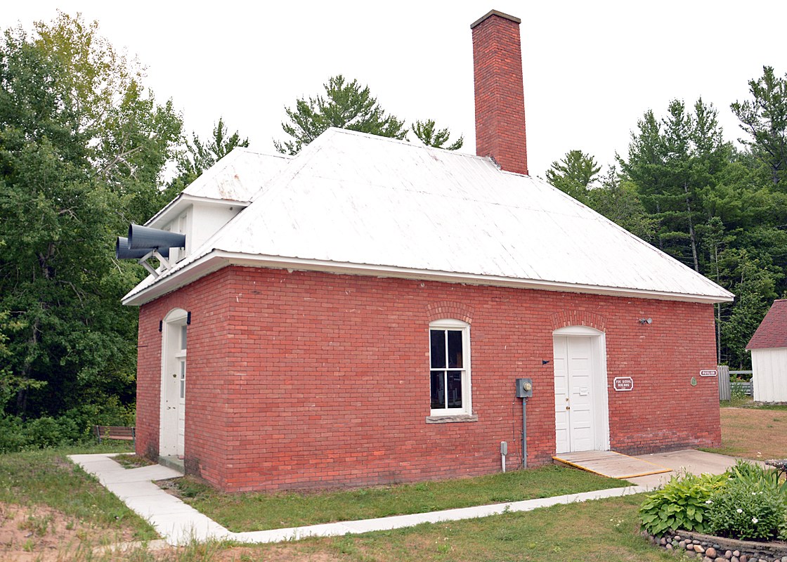
Everything Still Standing
What makes Forty Mile Point Light unusual among Great Lakes lighthouses is completeness. Nearly every structure from the original installation survives: the lighthouse and keeper's quarters, the barn that served as a bunkhouse (renovated in 2006-2007 as a gift shop), the foghorn signal building (though the diaphone has been removed), the oil house, and even the brick outhouse. The station was automated in 1969 and remains operational, its white exterior and black lantern room visible for miles along the shore. The Fresnel lens is one of only about 70 such lenses still operational in the United States, and fewer than eight of those are in Michigan. Half of the lighthouse now serves as a museum, the other half as caretaker's quarters. The surrounding park also houses the wheelhouse of the first Calcite freighter, adding another layer to the site's maritime heritage.
A Light That Stays Lit
Presque Isle County owns the lighthouse today, and the 40 Mile Point Lighthouse Society operates the museum and gift shop. The park grounds are open year-round from 8:00 a.m. to sundown, with the lighthouse itself open for tours from Memorial Day weekend through mid-October. The site anchors one end of the Huron Sunrise Trail, a bike path completed in 2009 that runs along US Route 23 -- the Sunrise Side Coastal Highway -- past Hoeft State Park and into Rogers City. The light still flashes its characteristic pattern: three seconds on, three seconds off, its Fresnel lens scattering Lake Huron's darkness with glass panels that were ground and polished in Paris workshops when Ulysses Grant was still president. It is a working lighthouse in the oldest sense, doing in the 21st century exactly what it was built to do in the 19th: telling sailors where they are on a dark shore.
From the Air
Forty Mile Point Light (45.487N, -83.913W) sits on the western shore of Lake Huron in Rogers Township, Michigan, roughly midway between Mackinaw City and Rogers City. The red-brick lighthouse and white tower are visible from low altitude against the wooded shoreline. Approach from over Lake Huron at 2,000-3,000 feet AGL for the best perspective. The wreck of the Joseph S. Fay may be visible in shallow water just north of the lighthouse. Presque Isle County Airport (KPZQ) is approximately 20 miles south. US Route 23 runs along the shoreline near the lighthouse. The Huron Sunrise Trail bike path is visible as a narrow corridor paralleling the highway.