Four Corners: The Only Place in America Where Four States Meet
The Four Corners Monument marks the only place in America where four states meet at a single point. Stand on the bronze disk embedded in the ground, and you're simultaneously in Arizona, Colorado, New Mexico, and Utah. The geometry is artificial - Congress drew those borders using lines of latitude and longitude, indifferent to terrain or population. The original survey in 1868 was slightly off; the marker was moved in 1875 and again in 1992. The current location is either the legal corner (by agreement) or approximately 1,800 feet from where pure mathematics would place it (by measurement). The distinction matters to surveyors. Tourists just want the photo.
The Borders
Congress created the borders between 1850 and 1912 as territories became states. The lines followed the 37th parallel (New Mexico-Colorado) and the 32nd meridian from Washington (Utah-Arizona). These arbitrary choices, made in Washington by people who had never visited the region, intersected at what would become Four Corners. The surveyor who marked the original corner in 1868, Ehud N. Darling, placed it 1,800 feet east of the true intersection due to equipment limitations. Subsequent surveys confirmed the error but accepted Darling's mark as the legal corner. The 'true' corner exists only mathematically; the legal corner is where the monument sits.
The Monument
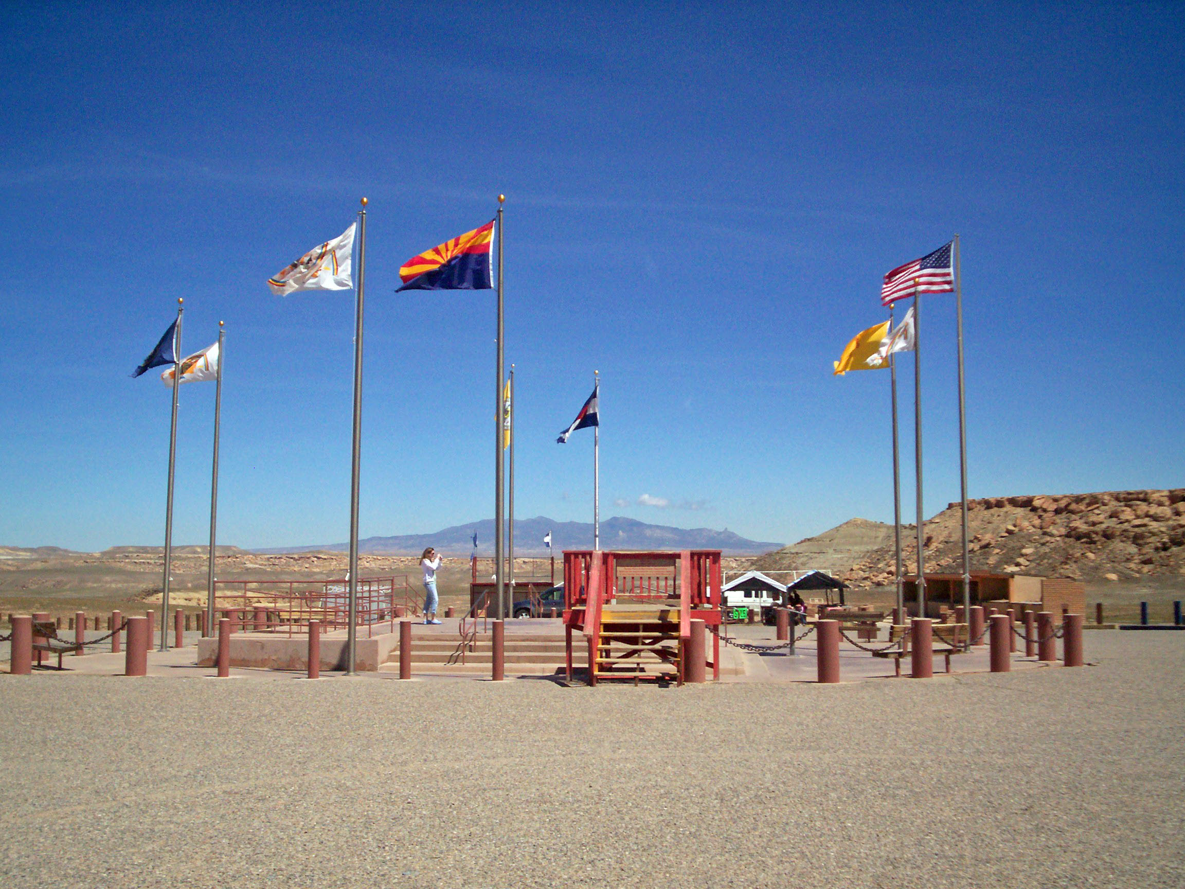
The current monument, rebuilt in 1992, features a bronze disk set in granite, with the state names and seals marking each quadrant. Visitors photograph themselves spanning all four states - hands and feet in different jurisdictions. The monument is managed jointly by the Navajo Nation (which spans Arizona, New Mexico, and Utah) and the Ute Mountain Ute Tribe (Colorado corner). Admission is charged. The experience is brief - most visitors spend 20-30 minutes photographing, buying frybread, and leaving. The monument is honestly anticlimactic: a marker in the desert, surrounded by vendor stalls, proving that arbitrary lines on maps can become destinations.
The Tribes
Four Corners sits entirely on Native American land - Navajo and Ute territory that encompasses all four state corners. The monument generates revenue for both nations through admission fees and vendor permits. The Native presence is more significant than the state borders: tribal sovereignty predates territorial surveys, and the land remains under tribal jurisdiction regardless of which state tourists think they're standing in. The vendor stalls selling crafts and frybread reflect economic reality: tourism provides income in a region with limited employment options. The monument is both a tourist attraction and a small economic engine.
The Disappointment
Reviews of Four Corners are frequently negative. Visitors complain about the remote location (it's roughly 40 miles from the nearest town), the entrance fee, the commercial atmosphere, the lack of natural attractions, and the fundamental silliness of celebrating an arbitrary surveying point. The complaints are valid but miss the point. Four Corners isn't a natural wonder or historic site; it's a geographic novelty - the only place in America where this particular thing happens. Whether that's worth the drive depends on how much you value checking boxes. Some people love it. Many people are underwhelmed. No one can stand in four states anywhere else.
Visiting Four Corners Monument
Four Corners Monument is located on Navajo Route 597, roughly 40 miles northwest of Farmington, New Mexico. Access requires driving through rural reservation land; the monument is remote. The site is open year-round during daylight hours; admission is charged. Vendor stalls sell crafts, jewelry, and food; quality varies. The monument itself takes minutes to photograph; most visitors spend under an hour. The nearest towns with services are Cortez, Colorado and Farmington, New Mexico. Combine the visit with Mesa Verde, Monument Valley, or Canyon de Chelly for a fuller trip. Bring water and fuel; services are limited. The drive is scenic; the destination is a curiosity.
From the Air
Located at 36.99°N, 109.04°W at the intersection of Arizona, Colorado, New Mexico, and Utah. From altitude, Four Corners is essentially invisible - the monument is a small structure in the middle of desert terrain. The state borders are not visible; the landscape continues uninterrupted across the artificial lines. The Navajo Nation spreads across the southern half; the Ute Mountain reservation occupies the northeast corner. The terrain is typical Colorado Plateau: mesas, dry washes, sparse vegetation. The monument's location is significant only because maps say so. From the air, it's just desert. The only four-state intersection in America is invisible except on paper.