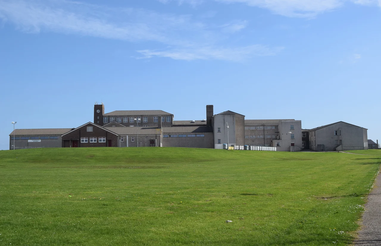

Fraserburgh
Locals don't say Fraserburgh. They say the Broch. The name is older than the town's official one, older than the Frasers who put their family stamp on the coast, and it travels in the mouths of fishermen across the North Sea and back. The Broch sits at the very corner of Aberdeenshire, where the coast pivots from facing east to facing north, and the wind seems to come from every direction at once. Once this was the herring capital of the world. Today it lands more shellfish than anywhere else in Scotland, and the harbour still wakes before dawn.
Silver Darlings
The herring were called silver darlings, and for a while in the early twentieth century, they made the Broch rich. Atlantic herring travel in shoals so dense they can be heard before they are seen, and in the years before the First World War, 30,000 boats chased them around the British Isles - a third of them Scottish. Fraserburgh had the best harbour on this coast, so the fleet sailed from here to Greenland and the Banks of Newfoundland and back to home waters. Once the boats landed, an army of seasonal workers - mostly women, knives flashing, hands wrapped against the salt - gutted and packed the fish into barrels at speed. At the peak, two and a half million barrels were shipped each year to Germany, Russia, and the Baltic. Then the herring stopped coming. Spawning grounds were damaged, the war disrupted the trade, and from the 1960s every UK fishery declined. The town never got an oil boom to replace it.
The Knuckle of the Coast
Geographers call the headland here Kinnaird Head. Old guides called the surrounding coast the Knuckle - the rocky punch where Scotland's east coast turns west into the Moray Firth. A 1949 account described nine castles of the Knuckle, sentinels of stone scattered along this hard shore. Kinnaird Castle is one of them; the strange little Wine Tower beside it is another. Going southeast, there are Cairnbulg, Inverallochy reduced to a shard of masonry, Lonmay gone entirely, and Rattray erased one storm night in 1720. Going west are Pitullie, Pitsligo, and Dundarg. The castles are mostly ruins now, grassy hillocks where stones once stood, but they trace a coast that for centuries was border country - between sea and land, fishing village and noble seat, prosperity and disaster.
Three Disasters
The Royal National Lifeboat Institution opened its first official Scottish station at Fraserburgh in 1858. Twenty years earlier, the harbour board had already been running a lifeboat. The town has always known what the sea takes. In the twentieth century, Fraserburgh suffered three lifeboat disasters in fifty years. The Lady Rothes capsized in 1919 while going to the aid of HM drifter Eminent; Coxswain Andrew Noble and Andrew Farquhar drowned. On 9 February 1953, six crew were lost when the lifeboat capsized while escorting fishing vessels home. On 21 January 1970, the Duchess of Kent capsized on service to the Danish vessel Opal; five of her six crew died. Fourteen men in total. In 2010, a monument to them was unveiled by Flora Fraser, 21st Lady Saltoun - a name reaching back to the family that founded the burgh four hundred years earlier.
Ill Winds and Inland Lakes
South of town, the Loch of Strathbeg tells a story so unusual it became a parable. Until 1720, this was an inlet of the sea, and Rattray was its harbour. A great storm hurled a spit of sand across the bay in a single night and cut the loch off from the sea. A ship laden with slates was caught inside, so its cargo went to the local houses - the only luck blown by that ill wind. The same storm took the village's castle. The destruction was read as divine punishment for the villagers' habit of playing cards on a Sunday. Today the loch is a wildlife reserve managed by the RSPB, the slates have weathered, and only the ruin of St Mary's Chapel and Rattray Head lighthouse mark where a harbour town once stood.
The Broch Today
Fraserburgh today is the third largest settlement in Aberdeenshire, and after the EU expansion of 2004, perhaps a tenth of its residents speak Polish or another European language as their first tongue. Sixty-three percent can speak Scots. The Museum of Scottish Lighthouses sits where Kinnaird Castle once did, the harbour still lands shellfish, and Fraserburgh Golf Club - founded in 1777, the fifth oldest in Scotland - rolls along the dunes south of town. In 2019, mass herring spawning was observed in the North Sea again. The silver darlings reach maturity at three years. After half a century, the Broch may yet hear them coming back.
From the Air
Coordinates 57.693N, 2.005W. Cruise altitude 3,000-5,000 ft offers the best view of the Knuckle - the dramatic right-angle bend where Scotland's east coast turns west into the Moray Firth. Look for Kinnaird Head lighthouse on the northeast point, the harbour basin below, and the long sweep of Fraserburgh Beach curving east toward Inverallochy. Nearest airport is Aberdeen (EGPD), about 35 nm south-southwest; Lossiemouth (EGQS) lies 55 nm west. Wind is famously persistent here - this stretch is among the windiest in the UK, with recorded gusts of 78 mph mean hourly speeds.
Nearby Stories
- Tarlair Swimming Pool 8.2 km away
- New Slains Castle 9.4 km away
- Battle of Slioch 17 km away
- German submarine U-58 (1938) 32 km away
- HMS Exmouth (H02) 33 km away
- Piper Alpha 109 km away
- German submarine U-1274 209 km away
- Jarlshof 236 km away