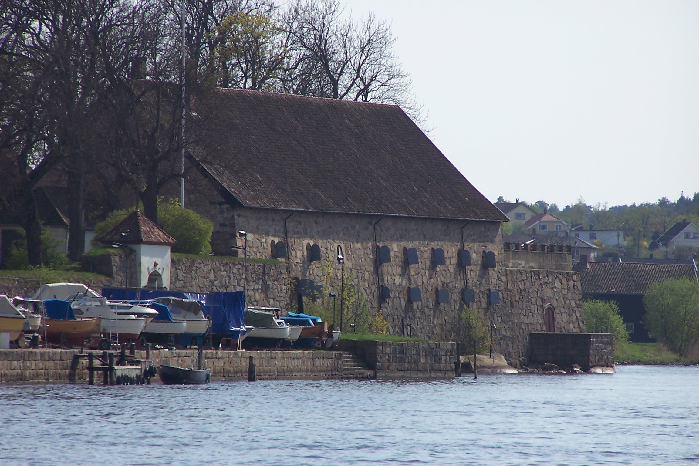
Fredrikstad Fortress
Walk through the gates of Fredrikstad Fortress and you step into a place where the cobblestones, the ramparts, and the old garrison buildings remain essentially as they were three and a half centuries ago. No other fortress in Norway has survived so intact. Built between 1663 and 1666 on the eastern shore of the Oslofjord, it guarded the approaches to southern Norway through centuries of Scandinavian conflict -- and only fell once, at the very end of its military life.
A Father-and-Son Fortress
The fortress was designed and built by Willem Coucheron and his son Anthony, military engineers of Dutch descent serving the Dano-Norwegian crown. King Frederick II ordered the fortification after the Torstenson War of 1644-1645 had exposed the vulnerability of the eastern Oslofjord to Swedish attack. A temporary fortification had been thrown up during that conflict, but something permanent was needed. The Coucherons delivered a star-shaped fortress following the prevailing European model of bastioned defenses. The first commander, Lieutenant Colonel Johan Eberhard Speckhan, was appointed even before construction began, in January 1662, succeeded by Johan von Fircks the following year. By 1666, the walls were complete -- and they still stand.
Tordenskjold's Staging Ground
In 1716, during the Great Northern War, the fortress played a supporting role in one of the most celebrated episodes in Scandinavian naval history. Peter Tordenskjold, the daring Danish-Norwegian naval commander, used Fredrikstad as a base when he attacked the Swedish fleet at the Battle of Dynekilen. Tordenskjold was just 25 years old at the time, and his audacious raid destroyed or captured the Swedish supply ships meant to sustain Charles XII's invasion of Norway. The fortress itself was never the target that day, but its strategic position on the Oslofjord made it an essential link in the chain of coastal defenses that kept the Swedish army from being resupplied by sea.
The Only Capitulation
For nearly 150 years after its construction, Fredrikstad Fortress was never attacked. That changed in 1814, during the Swedish-Norwegian War that followed the dissolution of Denmark-Norway. Under the command of Nils Christian Frederik Hals, the garrison faced a Swedish assault and capitulated on 4 August 1814. It was the only time the fortress was taken -- and it came at the very end of its active military purpose. The defeat contributed to Norway's forced union with Sweden, though the country retained its own constitution and parliament. The irony is hard to miss: the fortress built to keep Sweden out ultimately yielded to the neighbor it had watched for generations.
A Ring of Outposts
Fredrikstad was never just a single fortress. It anchored a network of supporting positions that controlled the waterways and approaches around the town. Kongsten Fort guarded the high ground to the east. Isegran Fort sat on an island in the Glomma River, watching the water approach. Cicignon Fort and Huth Fort covered additional angles, while Akeroya Fort and Slevik Battery extended the defensive perimeter further into the fjord. Together, these positions created a layered defense system that made any approach to the town a gauntlet of crossfire. The network remains one of the best-preserved examples of 17th-century fortification thinking in Scandinavia.
Living History in the Old Town
The fortress was officially closed as a military installation in 1903, though it continued to serve as a garrison until the remaining military presence was withdrawn in 2002. What sets Fredrikstad apart from other Norwegian fortresses is completeness. The ramparts have not been rebuilt or restored to a theoretical ideal -- they are simply the original walls, maintained over the centuries. Today the fortress and its surrounding old town have become one of Norway's most popular heritage destinations, with the old military buildings repurposed as galleries, workshops, and cafes. Art exhibitions fill the spaces where soldiers once drilled, and visitors walk streets that have changed remarkably little since the Coucherons oversaw their construction.
From the Air
Located at 59.20N, 10.95E on the eastern bank of the Oslofjord where the Glomma River meets the sea. The star-shaped fortress outline is visible from above. Nearest airport is Moss Airport Rygge (ENRY), approximately 25 km to the northwest. Best viewed at 2,000-4,000 ft AGL to appreciate the star-shaped layout and the surrounding network of smaller forts.