Galite Islands
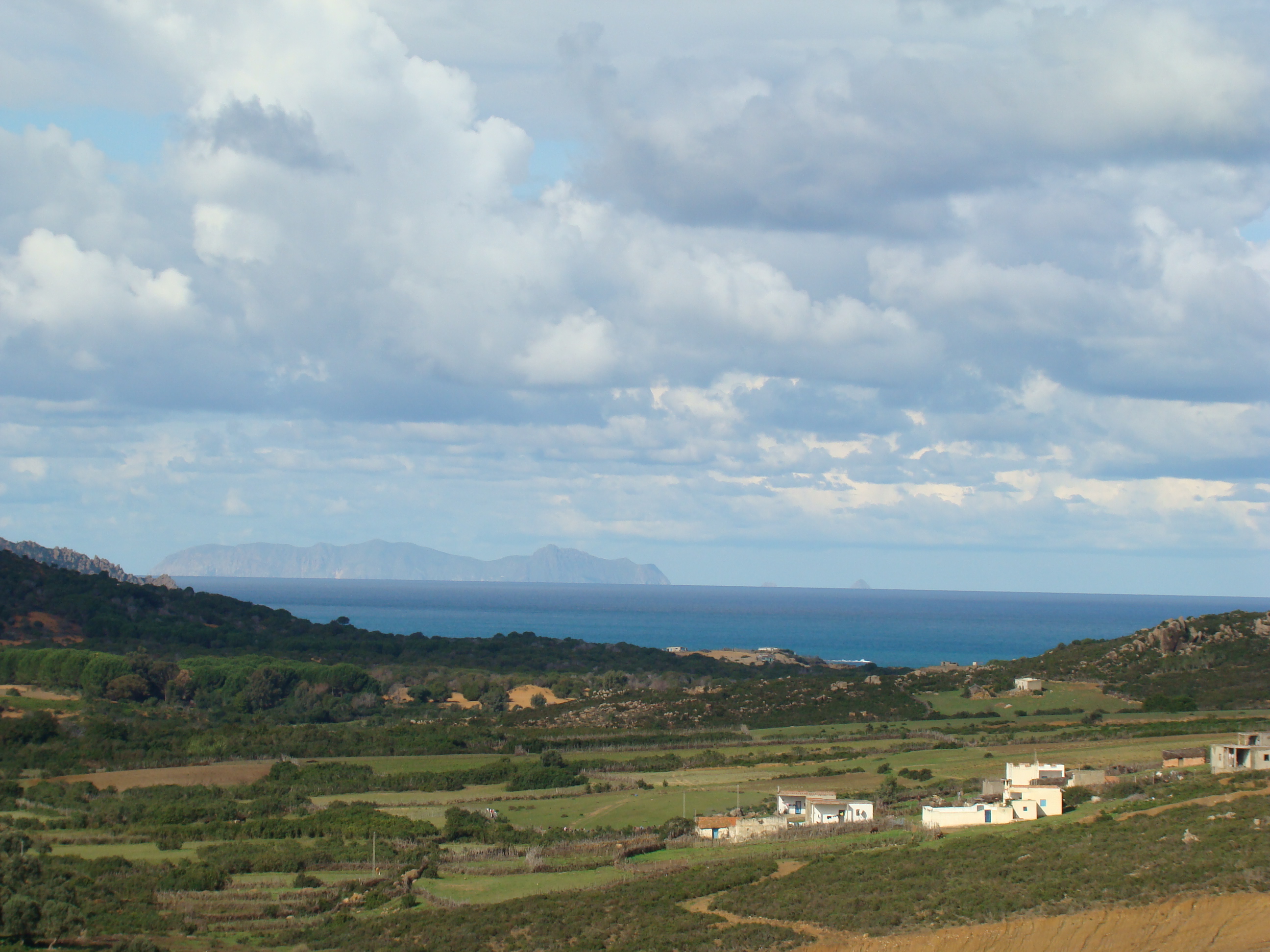
Halfway between Tunisia and Sardinia, a cluster of volcanic rocks rises from the Mediterranean with the defiance of a place that refuses to be forgotten. The Galite Islands sit 38 kilometers off Cape Serrat, close enough to the Tunisian mainland to see on a clear day, far enough to feel like another world entirely. Only a handful of fishing families call the main island home, living beneath cliffs that climb 200 meters straight out of the sea. The archipelago has no airport, no harbor worth the name, and only one accessible bay on its southern shore. It is, in every sense, a place apart.
Fortress of Stone and Sea
La Galite, the main island, stretches 5.4 kilometers from east to west and rises to 391 meters at its highest point, Bout de Somme, crowned by a yellow lookout tower visible from far out at sea. Near the southeastern corner, Piton de l'Es' juts up as a prominent cone reaching 360 meters. The island's 200-meter cliffs make most of the coastline impassable; the only landing point is the bay of Escueil de Pasque on the south side. To the southwest, three kilometers distant, the West Galitons rise sharply from the water -- Le Galiton at 158 meters and La Fauchelle at 137 meters, topped by a 14-meter lighthouse. To the northeast, three smaller rocks called Les Chiens bear Italian names that tell their own story: Gallo, Pollastro, and Gallina -- rooster, chicken, and hen.
Exile and Empire
The Galite Islands have served as both refuge and prison. During World War II, Italy maintained a small naval base on La Galite. Salvatore Todaro, an Italian naval officer celebrated for rescuing survivors of ships his submarine had sunk, died on the island on December 14, 1942. A decade later, the islands took on a different significance when the French colonial authorities exiled Habib Bourguiba to La Galite, confining the future father of Tunisian independence there from May 21, 1952, through May 20, 1954. The man who would become Tunisia's first president spent two years surrounded by nothing but sea, stone, and sky -- a confinement that only deepened his resolve and his legend.
Sanctuary in the Cliffs
In 1980, Tunisia's Ministry of Agriculture declared Le Galiton a natural reserve, driven by a single urgent purpose: protecting the Mediterranean monk seal, one of the world's most endangered marine mammals. BirdLife International has recognized the entire archipelago as an Important Bird Area. Audouin's gulls nest along the rocky shores, their calls carrying across the water. Eleonora's falcons -- named for a medieval Sardinian judge who enacted early wildlife protection laws -- hunt from the cliff faces, timing their breeding season to coincide with autumn bird migration so they can feed their chicks on exhausted songbirds making the Mediterranean crossing. Sardinian warblers thread through whatever scrub vegetation clings to the volcanic soil. The Tunisian military maintains a presence on one of the islands, offering the kind of protection that remote wildlife refuges quietly require.
The Hidden Seascape
What lies beneath the surface matters as much as what rises above it. The islands perch atop the Banc de Galite, an underwater plateau. Twenty-five kilometers to the southwest, the Sorelle Rocks lurk just below the waterline as two shallow rocky patches, marked by lighted buoys with radar beacons -- a reminder that these waters demand respect from mariners. Thirteen kilometers to the north, the submerged Banc des Mazzarilles drops between 21 and 49 meters, a landscape of underwater ridges invisible to anyone flying overhead but vital to the currents and marine life that make this corner of the Mediterranean distinctive. The Galite Channel separating the islands from the mainland runs deep and fast, making the crossing unpredictable even in calm weather.
From the Air
Located at 37.53N, 8.93E, approximately 38 km northwest of Cape Serrat on the Tunisian coast. The islands are visible as a distinct rocky archipelago surrounded by open Mediterranean waters. Best viewed at 3,000-5,000 feet. The main island's 391m peak with its yellow lookout tower is a prominent landmark. Nearest airport is Tabarka-Ain Draham (DTKA), approximately 80 km to the south-southwest. No airstrip on the islands themselves.