The Great Galveston Hurricane: America's Deadliest Natural Disaster
On September 8, 1900, the deadliest natural disaster in American history struck Galveston, Texas. A Category 4 hurricane with winds exceeding 145 miles per hour drove a 15-foot storm surge over the barrier island, drowning a city that sat only 8 feet above sea level. By the time the storm passed, between 6,000 and 12,000 people were dead - the exact number will never be known because entire families were swept away with no one left to count them. Galveston, which had been the largest city in Texas and one of the richest in the South, would never fully recover. The hurricane that killed it reshaped not just the Texas coast, but the way America thinks about natural disasters.
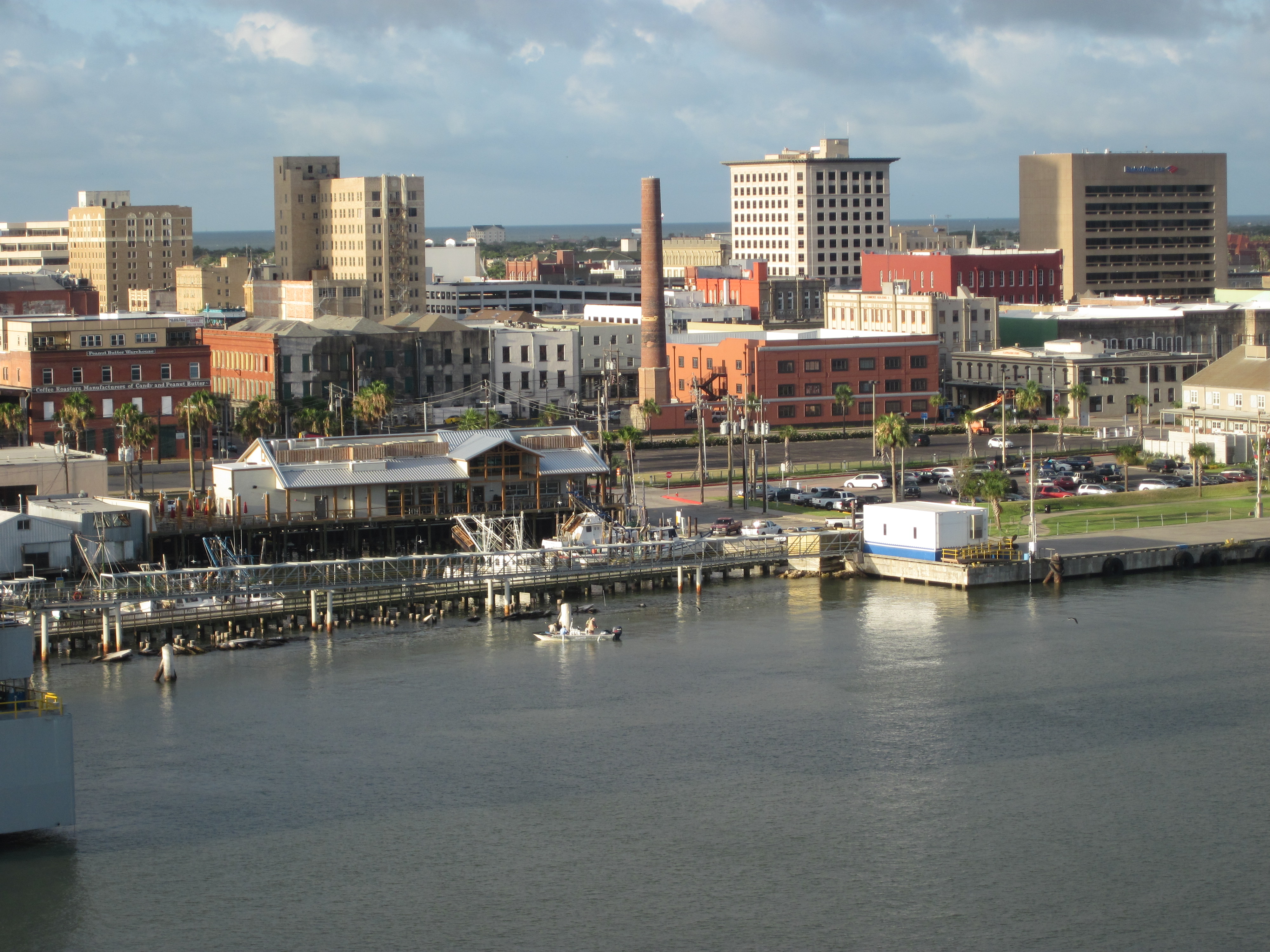
The Island
In 1900, Galveston was the jewel of Texas - a thriving port city of 40,000 people, the financial center of the Southwest, and one of the wealthiest cities in America per capita. Ships from around the world loaded cotton at its wharves. Its mansions rivaled those of Newport and New Orleans.
But Galveston had a fatal flaw: geography. The city sat on a barrier island that was only 2 miles wide and 8 feet above sea level at its highest point. There were no natural barriers to protect it from the Gulf of Mexico. Some residents proposed building a seawall, but the idea was rejected. Galveston had weathered storms before. It would weather storms again.
The Warning
The storm that would destroy Galveston was tracked by Cuban meteorologists as it crossed the Caribbean. They warned that a powerful hurricane was heading toward the Gulf Coast. But the U.S. Weather Bureau, in a dispute with the Cubans, ignored the warning and predicted the storm would curve northeast toward Florida.
Isaac Cline, the Weather Bureau's chief in Galveston, watched the barometer fall and the waves rise on the morning of September 8. He rode along the beach, warning vacationers to seek higher ground. But there was no higher ground. And no official evacuation order was issued. By the time the magnitude of the danger became clear, the bridges to the mainland were underwater.
The Storm
The hurricane struck Galveston at full force on the evening of September 8. The storm surge came first - a wall of water that swept over the island, submerging everything in its path. Houses lifted off their foundations and became battering rams, smashing into other houses. The entire island was underwater.
Residents climbed to upper floors, then to attics, then to rooftops, then drowned as the water rose. Families clung to debris and were separated by the waves. Children were torn from their parents' arms. The darkness was total - no lights, no moon, just wind and water and screaming.
The Dead
When dawn came on September 9, Galveston had ceased to exist as a recognizable city. Every building on the island had been damaged or destroyed. The streets were choked with debris 20 feet deep. Bodies were everywhere - tangled in wreckage, floating in the receding water, buried under collapsed buildings.
The death toll was staggering. At least 6,000 people died, possibly as many as 12,000 - making it the deadliest natural disaster in American history. Entire families were wiped out. The dead were initially buried at sea, but the bodies washed back onto the beach. Eventually, funeral pyres burned for weeks. The smell of death hung over the island for months.
The Wall
Galveston rebuilt, but it never recovered its former glory. The city constructed a massive seawall - 17 feet high and eventually 10 miles long - and raised the entire grade of the island behind it, lifting over 2,000 buildings on jackscrews. It was one of the most ambitious engineering projects of its era.
But Houston, connected to the sea by the newly dug Houston Ship Channel, rose while Galveston stagnated. The hurricane had ended Galveston's dreams of becoming the 'Wall Street of the South.' The city that had been the largest in Texas became a footnote - a cautionary tale of what happens when humans underestimate nature. The seawall still stands, a monument to a disaster that still defines the Texas coast.
From the Air
Galveston (29.30N, 94.80W) is a barrier island on the Texas Gulf Coast. Scholes International at Galveston (KGLS) is on the island. Houston Hobby (KHOU) is 65km northwest. The seawall is visible from the air along the island's Gulf-facing shore. The island is low and narrow - the vulnerability that led to the 1900 disaster is evident from altitude. Weather is Gulf Coast subtropical with hurricane risk June-November.