Galveston Seawall
The Galveston Seawall stretches 10 miles along the Gulf of Mexico, a sloping concrete barrier 17 feet high and 16 feet wide at its base. It was built in response to the deadliest natural disaster in American history: the 1900 Galveston Hurricane, which killed an estimated 6,000 to 12,000 people when a storm surge swept over the barrier island and destroyed much of the city. The seawall was only part of the solution. After constructing it, engineers undertook an even more ambitious project: raising the entire city. Over several years, they lifted thousands of buildings, some by as much as 17 feet, and filled the space beneath with sand dredged from the bay. The project transformed Galveston from a city vulnerable to storm surge into one of the most heavily protected coastal communities in America. The seawall has saved countless lives; it's also a monument to the catastrophe that made it necessary.
The 1900 Hurricane
In 1900, Galveston was the largest city in Texas, a prosperous port city of 37,000 people. When a hurricane approached on September 8, residents were not overly concerned - storms came and went. But this storm was different. A 15-foot storm surge swept over the island, which had a maximum elevation of only 8.7 feet. The entire city was underwater. Buildings were swept off foundations, smashed against each other, and reduced to debris. The dead were everywhere - in the wreckage, in the streets, floating in the water. An estimated 6,000 to 12,000 people perished. The exact count is unknown because the storm destroyed all records and many bodies were never recovered. It remains the deadliest natural disaster in American history.
The Response
Galveston's survivors faced a choice: abandon the island or protect it. They chose to fight. Engineer Henry Robert devised a plan: build a massive seawall to block storm surges, then raise the entire city behind it. The seawall was constructed from 1902 to 1904 - 3.3 miles of concrete, curved to deflect waves, with a granite riprap barrier at its base. But the seawall alone wasn't enough. The city behind it was still too low. The grade-raising project that followed was unprecedented: using dredging equipment, engineers pumped 15 million cubic yards of sand under the city, lifting buildings, streets, and infrastructure by up to 17 feet. Homeowners paid to have their houses jacked up; the city filled beneath them.
The Test
The seawall was tested in 1915 when another major hurricane struck Galveston. The storm was as powerful as 1900, but the death toll was 275 instead of 8,000. The seawall held. Storm surge battered the wall but didn't overtop it; the raised city stayed dry. The contrast with 1900 was stark proof that engineering could protect coastal communities. Over the following century, the seawall was extended to 10 miles, and other Texas coastal cities built their own barriers. Hurricane Ike in 2008 damaged sections and flooded areas beyond the seawall's protection, but again the wall held. Climate change and sea level rise pose new challenges; the wall that seemed high in 1904 may not suffice in 2100.
The Legacy
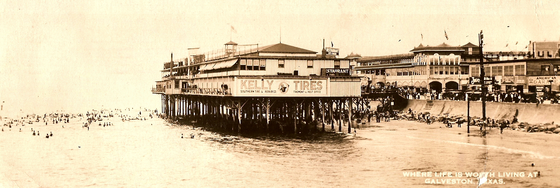
The seawall saved Galveston but couldn't restore its prominence. Houston, protected from hurricanes by its inland location, became the region's dominant city. The ship channel dredged to Houston's port diverted commerce from Galveston. The city that had been Texas's largest became a secondary port and tourist destination. Yet the seawall created something valuable: a wide boulevard along the Gulf, perfect for hotels, restaurants, and beach access. Today, the seawall area is the heart of Galveston's tourism industry, drawing visitors to sandy beaches and historic architecture. The massive concrete barrier is both infrastructure and attraction, a reminder of disaster and testimony to human determination.
Visiting the Seawall
The Galveston Seawall runs 10 miles along the Gulf of Mexico, from the eastern end of the island past the city's main beach areas. Seawall Boulevard follows the wall's top, offering driving, biking, and walking access. Hotels, restaurants, and attractions line the inland side. The beaches on the Gulf side provide swimming and fishing access. The 1900 Storm Memorial at the seawall's eastern end commemorates the hurricane victims. The Bishop's Palace and other surviving Victorian mansions show what Galveston looked like before and after the storm. The Texas Seaport Museum at Pier 21 tells the city's maritime history. Galveston is accessible from Houston (50 miles north) via Interstate 45. William P. Hobby Airport (HOU) is the nearest Houston airport; Scholes International Airport on Galveston Island has limited service.
From the Air
Located at 29.30°N, 94.79°W on Galveston Island, Texas, 50 miles southeast of Houston. From altitude, the Galveston Seawall is visible as a line separating the developed beachfront from the Gulf of Mexico. The city spreads across the barrier island behind the wall. The contrast between the protected seawall area and the lower, more vulnerable areas beyond is visible from the air. The ship channel to Houston is visible to the northwest.