Germanna
The name itself is a portmanteau, and a deliberate one. When Virginia's Lieutenant Governor Alexander Spotswood christened his new settlement "Germanna" in 1714, he was fusing the origins of its inhabitants with the queen who made it possible: German miners, dispatched across the Atlantic, and Queen Anne, who reigned when they arrived. She died just months later, but her name stuck to the red clay banks of the Rapidan River, where forty-two immigrants from the Siegerland region of Nassau-Siegen set about building furnaces and digging for iron ore in the Virginia wilderness.
A Scheme Wrapped in a Land Grant
Spotswood was a man of overlapping ambitions. The Privy Council had authorized land grants along Virginia's frontier to create a buffer zone against French encroachment from the west. Spotswood saw opportunity in the policy: he would recruit skilled German miners to operate ironworks on land he himself would accumulate. By 1720, he had secured a vast tract in the newly created Spotsylvania County, the first portion of which was the Germanna tract. The Crown's policy limited any individual to a thousand acres of Virginia land. Spotswood took far more. This overreach, combined with years of friction with the colonial council, eventually cost him the governorship in 1722. But by then, furnaces were firing, iron was flowing, and the settlement had already served as the seat of Spotsylvania County.
Two Waves Across the Atlantic
The First Colony arrived in 1714: forty-two people bearing surnames like Holtzclaw, Fishback, Kemper, and Rector, families recruited from the mining districts around Siegen. They built Fort Germanna on the banks of the Rapidan in what is now Orange County, a stockaded outpost that doubled as frontier defense and industrial workshop. Three years later, the Second Colony followed, some eighty Germans from Wurttemberg, Baden, and the Palatinate who had originally agreed to sail for Pennsylvania aboard the ship Scott. Their captain, Tarbett, redirected them to Virginia instead, where they became indentured servants of Spotswood. By the mid-1720s, Spotswood was suing many of these Germans over land and labor disputes, and most of the Second Colony moved to the Robinson River Valley in present-day Madison County. The First Colony had already scattered to Fauquier County, where three naturalized members secured 1,805 acres for the group.
Iron, Slaves, and a Palatial Home
After the German settlers moved on, Spotswood stayed. He erected a grand home on the Germanna property and continued the ironworks with enslaved labor, a darker chapter in the settlement's story. In 1716, while still governor, he had led the famous Knights of the Golden Horseshoe Expedition, a mounted trek across the Blue Ridge Mountains that opened Virginia's eyes to the Shenandoah Valley beyond. In his later years, Spotswood served as Deputy Postmaster General for the Colonies. The ironworks he built on the labor of German immigrants and enslaved people helped establish Virginia's early industrial economy, even as the families he brought over dispersed across the Piedmont and eventually into Kentucky and the western frontier.
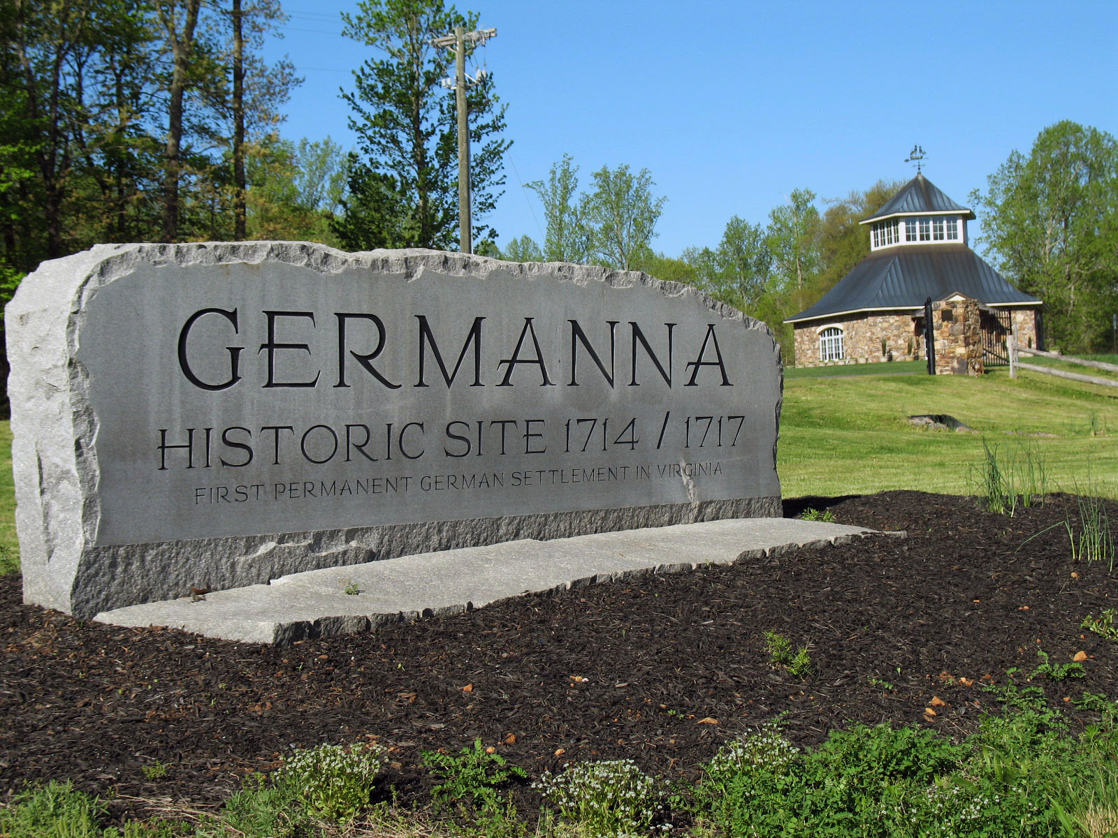
What Remains Along the Rapidan
Today the Fort Germanna site is mostly open fields broken by thickets of second-growth timber in Orange County. Listed on the National Register of Historic Places in 1978, the site is maintained by the Memorial Foundation of the Germanna Colonies in Virginia. The foundation operates a research library and memorial garden, publishes genealogical histories, and hosts an annual conference and reunion that draws descendants of those original German families. Many Germanna surnames still echo through the Mid-Atlantic: Holtzclaw, Fishback, Kemper, Rector, Weaver, Martin. Genealogical research reveals generations of intermarriage among these families, a tightly woven heritage that stretches from a riverside fort in colonial Virginia to communities across the American South and West.
From the Air
Germanna sits at 38.378N, 77.783W along the Rapidan River in Orange County, Virginia. From the air, look for the open fields and tree lines along the river's south bank, roughly six miles northeast of the town of Orange. The Rapidan River is a useful visual guide, winding east toward its confluence with the Rappahannock. Nearest airports: Culpeper Regional (KCJR) approximately 12nm northeast, Charlottesville-Albemarle (KCHO) approximately 30nm southwest, Orange County Airport (KOMH) approximately 8nm south. The rolling Piedmont landscape of farms and woodlots is characteristic of this part of Virginia.