The Gettysburg Electric Map
For 50 years, the Gettysburg Electric Map explained the Civil War's pivotal battle to millions of visitors. The map - 30 feet by 30 feet, showing the terrain around Gettysburg with 600 colored lights - guided audiences through the three-day battle while a narrator described troop movements. Blue lights for Union forces, red for Confederate, the lights blinking and shifting as regiments advanced, retreated, and died. The experience was simple but effective: visitors who couldn't visualize the battle from historical markers finally understood why the terrain mattered, why Pickett's Charge was doomed, why the Union line held. The Electric Map operated from 1963 to 2008, when the National Park Service retired it in favor of modern exhibits. The map now resides at the Gettysburg Heritage Center, still demonstrating battles for visitors who remember when lights were enough.
The Problem
Gettysburg is confusing. The battle sprawled across 25 square miles over three days, with multiple engagements happening simultaneously. Visitors driving the battlefield roads struggled to understand the overall flow: Why did the Union retreat on Day 1? What was the significance of Little Round Top? How did 15,000 men cross a mile of open ground in Pickett's Charge? Historical markers described individual actions but couldn't convey the big picture. The National Park Service needed a way to explain the battle to visitors who had never studied military history - to make the chaos comprehensible.
The Solution
The Electric Map opened in 1963 as part of the battle's centennial commemoration. The map measured 30 by 30 feet, depicting the terrain around Gettysburg in three-dimensional relief. Roads, ridges, and landmarks were accurately positioned. Above the map, 600 colored lights could be illuminated in sequence to show troop movements. A 30-minute recorded narration guided audiences through the battle day by day, hour by hour. When the narrator described Longstreet's assault on Day 2, red lights blinked toward the Union left. When Pickett's Charge began, a wave of red lights swept across the map toward Cemetery Ridge. Audiences finally understood.
The Experience
The Electric Map show ran continuously, filling a small theater at the old Visitor Center. Audiences sat in darkness as the narrator's voice - authoritative, slightly dramatic - described July 1-3, 1863. The lights blinked; arrows indicated movement; the battle unfolded in miniature. The technology was simple - incandescent lights, a motorized arrow pointer - but effective. For visitors who remembered before computer graphics, the Electric Map was impressive. For children raised on video games, it was charmingly antiquated. Either way, it worked. Generations of visitors understood Gettysburg because they watched the lights.
The Retirement
In 2008, the National Park Service opened a new Museum and Visitor Center at Gettysburg with modern exhibits, including a digital battle map with animated graphics. The old Electric Map was retired. The map itself - a 30-foot plaster and light display - couldn't easily be moved or repurposed. The Gettysburg Heritage Center, a private museum, acquired it. The map was restored and now operates there, showing the battle to smaller audiences who remember the original or want to experience vintage educational technology. The lights still blink. The arrows still point. The narrator still explains.
Visiting the Electric Map
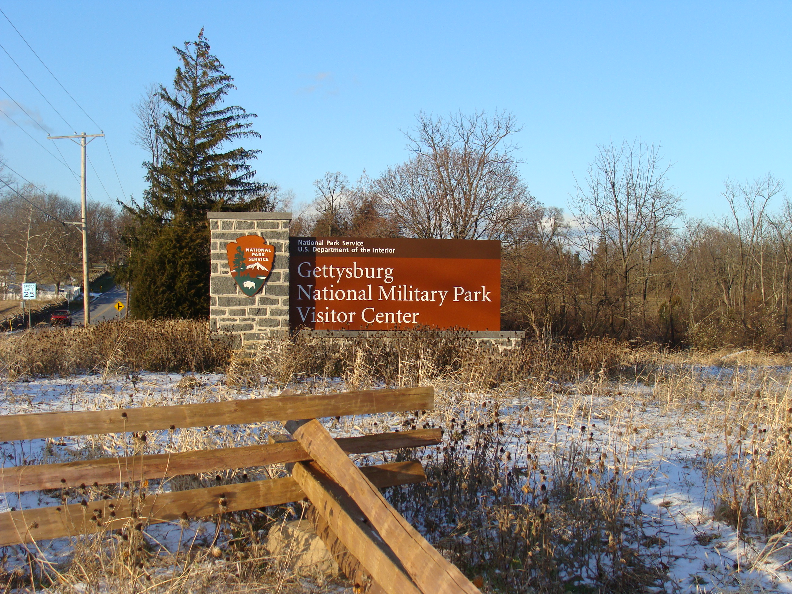
The original Gettysburg Electric Map is now located at the Gettysburg Heritage Center, 297 Steinwehr Avenue in Gettysburg, Pennsylvania. The Heritage Center is a private museum; admission is charged. The Electric Map show runs at scheduled times. The Gettysburg National Military Park Museum and Visitor Center, with its modern exhibits and Cyclorama, is a separate facility and the primary destination for battlefield visitors. The battlefield itself is free and open year-round; driving tours follow the major actions. Harrisburg International Airport is 40 miles north. Gettysburg has extensive lodging and dining. Allow at least a full day for the battlefield; add the Electric Map for nostalgia or comparison.
From the Air
Located at 39.82°N, 77.23°W in Gettysburg, Pennsylvania. From altitude, the Gettysburg battlefield appears as preserved farmland amid development - the National Military Park protects the terrain where the battle was fought. Cemetery Ridge, Little Round Top, and Devil's Den are visible as terrain features. The town of Gettysburg sits at the center where roads converge. The Heritage Center is on Steinwehr Avenue, the tourist strip south of town. Harrisburg is 40 miles north. The terrain - ridges, valleys, open fields - explains why the battle unfolded as it did.