Ghaggar-Hakra River
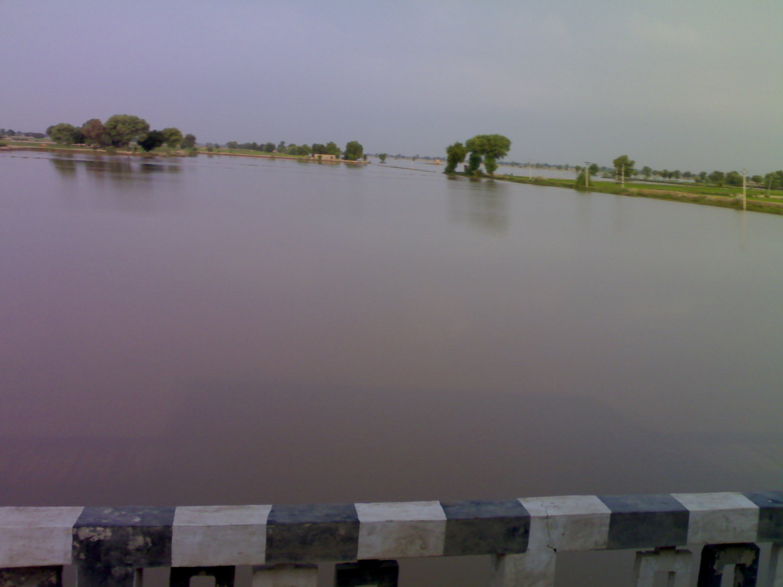
For a few weeks each monsoon season, water fills a shallow channel that begins in the Shivalik Hills of Himachal Pradesh and threads south through Punjab, Haryana, and Rajasthan before vanishing into the Thar Desert. For the rest of the year, the Ghaggar-Hakra is a scar in the earth -- a dry bed of cracked soil and sand that betrays almost nothing of what once flowed here. Yet beneath and alongside this intermittent trickle lie the remains of one of the densest concentrations of ancient urban settlements ever discovered. The Indus Valley Civilisation, which flourished between 2600 and 1900 BCE, left hundreds of sites along the Hakra's middle course in what is now Pakistan. The river that sustained those cities has been mostly gone for four thousand years. The cities, buried under desert, are still being found.
When the Sutlej Turned Away
The Ghaggar-Hakra was not always a seasonal afterthought. Between 10,000 and 8,000 years ago, the Sutlej River -- one of the great Himalayan waterways -- flowed through this channel, carrying glacial meltwater all the way to the Rann of Kutch via the Nara River, a delta channel of the Indus. Then the Sutlej shifted course, redirecting its volume westward. Analysis of sand grains using optically stimulated luminescence, published by Ajit Singh and colleagues in 2017, confirmed that the Sutlej's abandonment of the Ghaggar-Hakra channel began around 15,000 years ago and was complete by 8,000 years ago -- well before the Indus Valley Civilisation arose. What remained was a monsoon-fed system: the Ghaggar, rising at 1,927 meters in the village of Dagshai, joined by tributaries like the Kaushalya, Markanda, Sarsuti, Tangri, and Chautang. In Pakistan, the continuation of this channel is called the Hakra, a dried-out riverbed near Fort Abbas that once carried enough water to support cities.
Cities Built on Seasonal Rain
Here is the paradox that has puzzled archaeologists for decades: the Indus Valley Civilisation did not thrive along the Ghaggar-Hakra when the river was at its mightiest. It thrived when the monsoons began to weaken, around 5,000 years ago. A large number of Mature Indus Valley Civilisation sites, dating to 2600-1900 BCE, cluster along the middle course of the dried-up Hakra in Pakistan's Bahawalpur district, where the river apparently ended in a series of terminal lakes. Ajit Singh and colleagues concluded that these urban populations settled not along a perennial river but along a monsoon-fed seasonal channel -- one that offered water without the destructive floods that plagued the Indus itself. Archaeologist Rita Wright has suggested that many of these settlements may have been ephemeral, their inhabitants moving frequently in pursuit of water. Shereen Ratnagar adds nuance: many sites labeled as Harappan along the Ghaggar-Hakra in India are actually those of local cultures, with only a few displaying full Harappan characteristics.
The Drying and the Decline
Around 4,000 years ago, the monsoons weakened further. The Ghaggar-Hakra system, already reduced to seasonal flow, shrank to the intermittent trickle visible today. The Indus Valley Civilisation declined in tandem. While the relationship between river loss and civilizational collapse is more complex than simple cause and effect -- trade disruptions, social change, and shifting agricultural patterns all played roles -- the drying of the Hakra clearly transformed the landscape. Sites that were once riverside towns became desert ruins. Ironically, that same aridity preserved them. While Indus River sites were buried under fresh alluvial deposits and lost, the Ghaggar-Hakra sites sat undisturbed beneath dry sand for millennia. This is why so many have been found -- not because more people lived here, but because the desert kept their remains intact while active rivers erased comparable evidence elsewhere.
The Sacred River Question
Since the 19th century, scholars have debated whether the Ghaggar-Hakra is the dried-up remnant of the Sarasvati River, a mighty waterway praised in the Rig Veda as flowing from the mountains to the sea. The identification is seductive: both rivers are associated with the same general region, and the Rig Veda describes the Sarasvati as a powerful, life-giving force. But the timeline is difficult to reconcile. Modern geological research, including work by Clift and colleagues in 2012 and Khonde and colleagues in 2017, has demonstrated that the Ghaggar-Hakra lost its Himalayan water sources thousands of years before the Rig Veda was composed. Dave and colleagues stated in 2019 that their results "disprove the proposed link between ancient settlements and large rivers from the Himalayas." Whether the Vedic poets remembered a river that had already diminished or were describing an altogether different waterway remains an open question -- one that carries political and religious weight in modern India far beyond what any geologist's zircon grain analysis can settle.
From the Air
The Ghaggar-Hakra river system runs roughly from 30.5N, 77.1E in the Shivalik Hills southwestward through Haryana and Rajasthan into the Thar Desert, with the primary coordinates at 29.488N, 74.893E near the Ottu barrage. From the air, the dry riverbed is visible as a faint depression winding through flat agricultural and desert terrain. The Ottu barrage near Sirsa is a key landmark. Nearest airports include Chandigarh (VICG) to the northeast and Jodhpur (VIJO) to the south. The Hakra continuation in Pakistan extends toward Fort Abbas and Bahawalpur.