Gila Wilderness
On June 3, 1924, the concept of wilderness changed from philosophy to policy. The Gila became the world's first officially designated wilderness area, a radical experiment born from the vision of a young Forest Service supervisor named Aldo Leopold. He had proposed protecting the headwaters of the Gila River through the simple act of exclusion: no roads, no use permits, no development. The idea worked. Today, 558,014 acres of southwestern New Mexico remain as wild as they were when Mogollon farmers tended crops in canyon bottoms and Chiricahua Apache hunted elk through the ponderosa forests. The Gila proved that some places are more valuable left alone.
The Father of Wilderness
Aldo Leopold was supervising Carson National Forest in northern New Mexico when he began developing his wilderness philosophy. He saw how roads and development fragmented wild country, eliminating the big, unbroken landscapes that certain species required and that certain human experiences demanded. In 1922, he proposed that the Gila River headwaters be preserved through administrative action. Two years later, the Forest Service agreed. Leopold would go on to write A Sand County Almanac, one of the most influential conservation texts ever published, but the Gila remained his first and perhaps most consequential achievement. The wilderness that bears his name, Aldo Leopold Wilderness, now adjoins the Gila, separated only by a gravel road and a few parcels of private land.
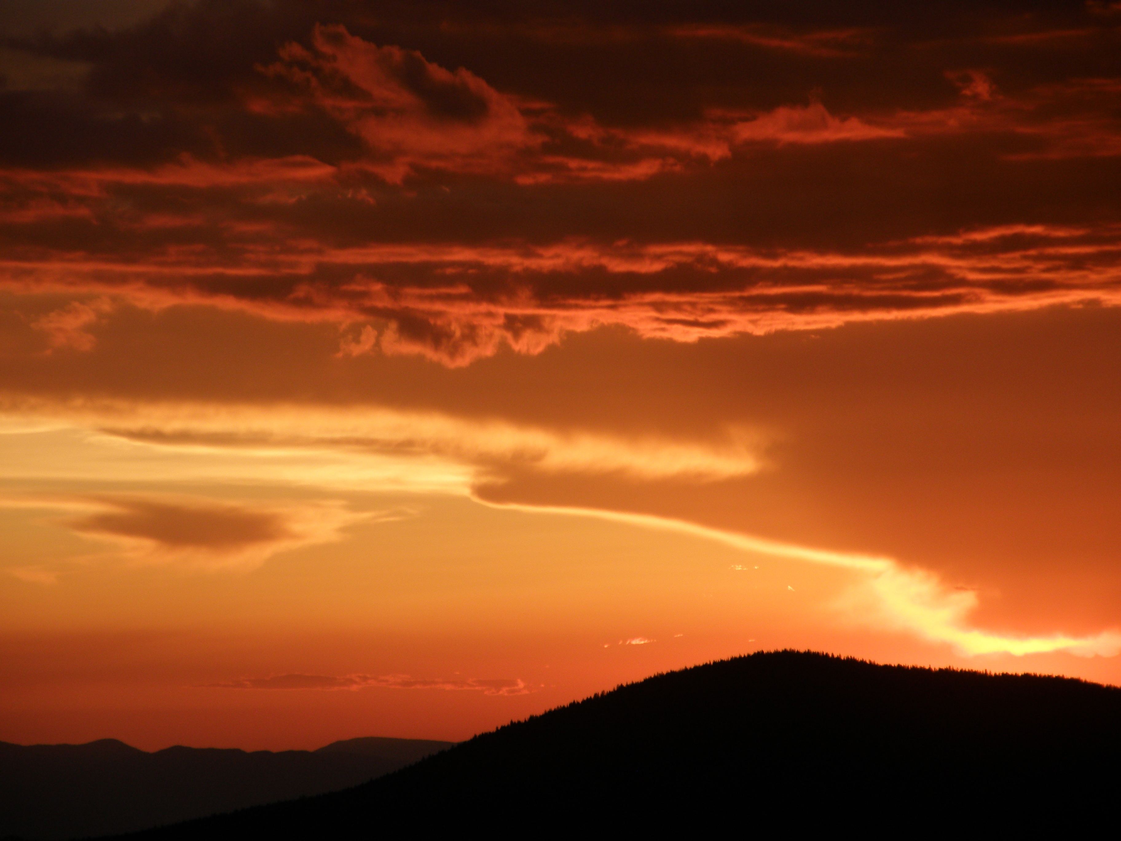
Where Mountains Meet Desert
The Gila Wilderness occupies a transition zone between the Chihuahuan Desert and the Rocky Mountains, creating one of the most ecologically diverse landscapes in North America. The Mogollon Mountains arc across the wilderness, with Whitewater Baldy reaching the highest elevation. At lower levels, mesquite and creosote bush give way to Apache pine and the northernmost stands of Chihuahua pine. Higher still, one of the world's largest and healthiest ponderosa pine forests blankets the slopes. Arizona sycamore, walnut, maple, and cottonwood line the rivers and canyons. The three forks of the Gila River wind through the wilderness, their banks supporting an entirely different ecosystem from the arid slopes above.
Wolves, Elk, and Second Chances
The Gila tells a story of ecological loss and partial redemption. Bighorn sheep vanished around 1900, hunted out of existence. Rocky Mountain bighorns were reintroduced after 1958 using animals from a herd established in the Sandia Mountains from Canadian stock. Elk disappeared too, returning only in 1954 when the New Mexico Department of Game and Fish released sixteen animals from Yellowstone. Mexican wolves, once exterminated as predators, have been reintroduced; as of recent counts, four packs roam the wilderness. The threatened Gila trout swims in remote streams. Golden eagles, bald eagles, and common black hawks patrol the skies. The wilderness functions as a living laboratory for restoration.
Lost in the Gila
The U.S. Forest Service describes the Gila's climate as four gentle seasons, but the word gentle understates the risks. Summer temperatures can reach 100 degrees Fahrenheit. Water sources are unreliable, disappearing during frequent droughts. The sheer size and isolation of the wilderness amplifies every hazard. In 2007, a hiker survived 40 days lost in the Gila, setting a state record for the longest time a missing person was found alive. Others have not been so fortunate. Some hikers who enter the vast expanse are never found at all. The wilderness demands respect, preparation, and humility from those who venture into its 872 square miles of roadless country.
Trails Through Time
Over fifty trailheads provide access to hundreds of miles of hiking and horseback routes. The Catwalk, perhaps the most famous, suspends visitors above a rushing stream in a gorge only a few feet wide. The Crest Trail runs 12 miles through sub-alpine forests in the highest portions of the range. An alternate route of the Continental Divide Trail follows the canyon of the Gila River through the wilderness, consistently rated among the CDT's most spectacular sections. Hot springs bubble up throughout the backcountry. Cliff dwellings line stream valleys, especially along the Middle Fork. In spring, when snowmelt swells the rivers, rafters float the Gila through canyons where Mogollon and Apache walked centuries before.
From the Air
The Gila Wilderness (33.24N, 108.28W) encompasses 558,014 acres of remote mountain terrain in southwestern New Mexico within the Gila National Forest. The Mogollon Mountains traverse the wilderness, with Whitewater Baldy as the highest point. The area spans approximately 35 miles north to south. Grant County Airport (KSVC) near Silver City lies approximately 35nm south. Reserve Airport (E14) provides access from the east. No roads penetrate the wilderness. Look for the three forks of the Gila River converging near the Gila Cliff Dwellings National Monument on the wilderness edge. Terrain rises steeply from canyon bottoms to ridge crests. Maintain high altitude when transiting. Thunderstorms develop rapidly in summer. Best viewed at 10,000-11,000 feet MSL from the south or west.