Gillespie Dam Bridge
Spanning the often-dry bed of the Gila River west of Phoenix, the Gillespie Dam Bridge stands as a testament to engineering resilience in the American Southwest. This steel through-truss structure carried transcontinental traffic on U.S. Route 80 for nearly three decades, and has outlasted floods, neglect, and even the dam it was built to bypass. In a landscape where water is the great destroyer, this bridge simply refuses to fall.
The Ocean-to-Ocean Highway
The Ocean-to-Ocean Highway was established in 1911 to create an all-weather transcontinental route from California through Arizona to New Mexico. But the Gila River had other plans. Floods in 1919 and 1920 devastated the highway. The earlier Antelope Hill Bridge was washed out repeatedly, its concrete girder design no match for desert flash floods. Construction of the Gillespie Dam Bridge began in 1925, but a catastrophic flood in February 1927 swept away equipment and materials, delaying completion by two months.
Built to Last
When the Gillespie Dam Bridge finally opened on August 1, 1927, it was designed to survive what the desert could throw at it. The steel truss structure sat on concrete piers sunk deep into the bedrock below the river. The bridge served as part of U.S. Route 80 until 1956, when a new alignment was built to the east. Then came 1993, when a violent flood destroyed the Gillespie Dam itself. The surge of water damaged the bridge's support piers but the structure held, proving its designers right.
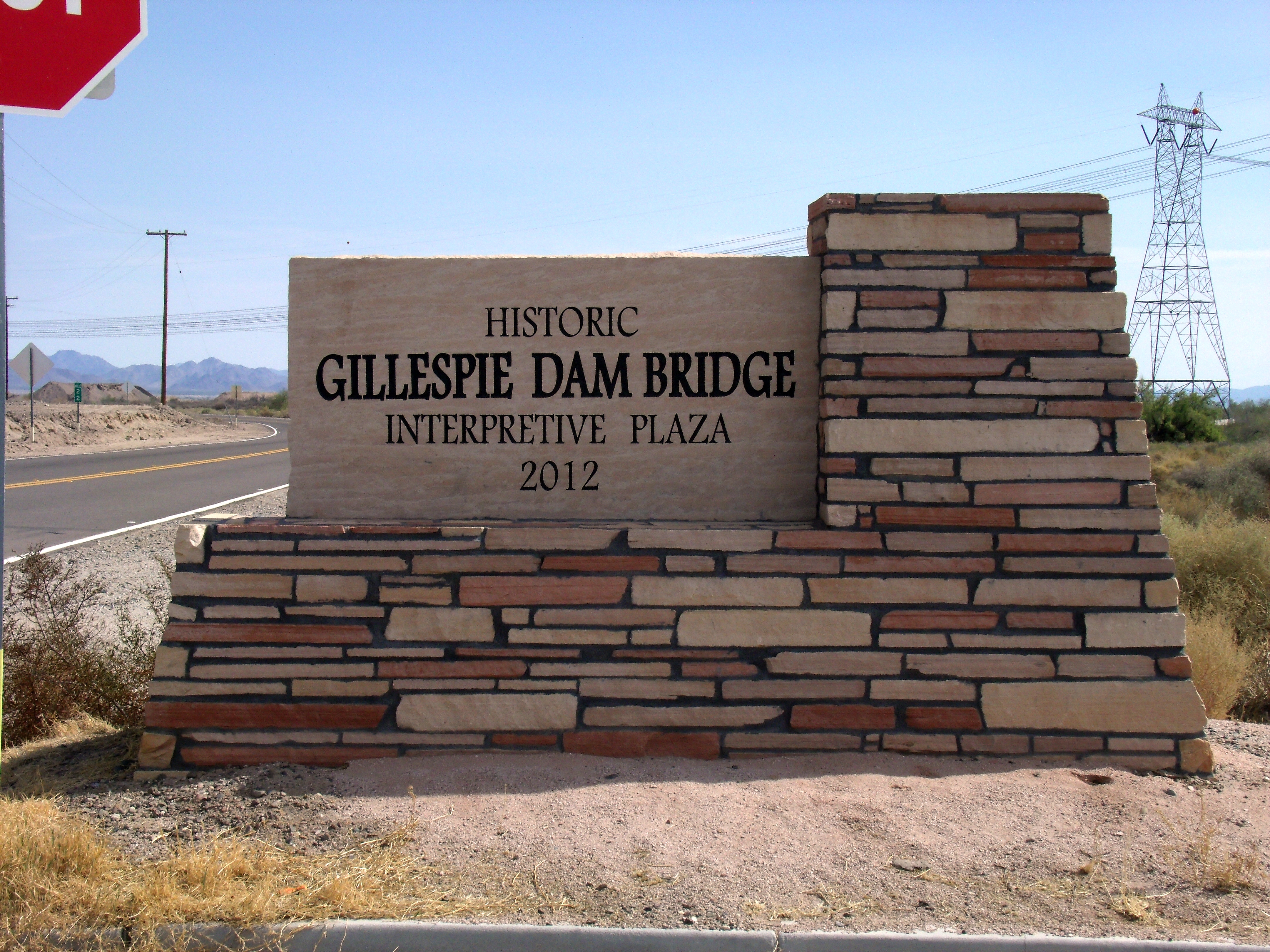
Centennial Restoration
From 2011 to 2012, Maricopa County invested 7.3 million dollars to restore the bridge for Arizona's centennial. Workers strengthened the piers and truss sections, replaced roller bearings, and built an interpretive plaza telling the story of this remarkable survivor. In 2018, the bridge was designated part of Historic U.S. Route 80. It is one of only two surviving multiple-span steel through-truss bridges in Arizona.
From the Air
The bridge crosses the Gila River approximately 50nm southwest of Phoenix. Look for the distinctive steel truss structure spanning the wide, usually dry riverbed. The remains of the destroyed Gillespie Dam are visible nearby. Interstate 8 runs parallel to the south. Nearest airports: Phoenix Goodyear (KGYR) 25nm northeast, Buckeye Municipal (KBXK) 20nm east.