Godavari River
Every twelve years, tens of millions of pilgrims descend on Nashik to bathe at the spot where the Godavari begins. They are washing themselves in a river that Hindus call the Dakshina Ganga, the Ganges of the South, and its origin story explains the name. According to the Shiva Purana, the sage Gautama performed thousands of years of penance on Brahmagiri Hill, begging Lord Shiva to send the sacred Ganges southward. Shiva relented. The water that emerged from the Kushavarta Kund at Trimbakeshwar became the Godavari, a river that would grow to drain 312,812 square kilometers of the Indian subcontinent, roughly the combined area of the United Kingdom and Ireland. From that small sacred spring, the river crosses five states before fanning into an enormous delta that empties into the Bay of Bengal.
A Course Written in Basalt
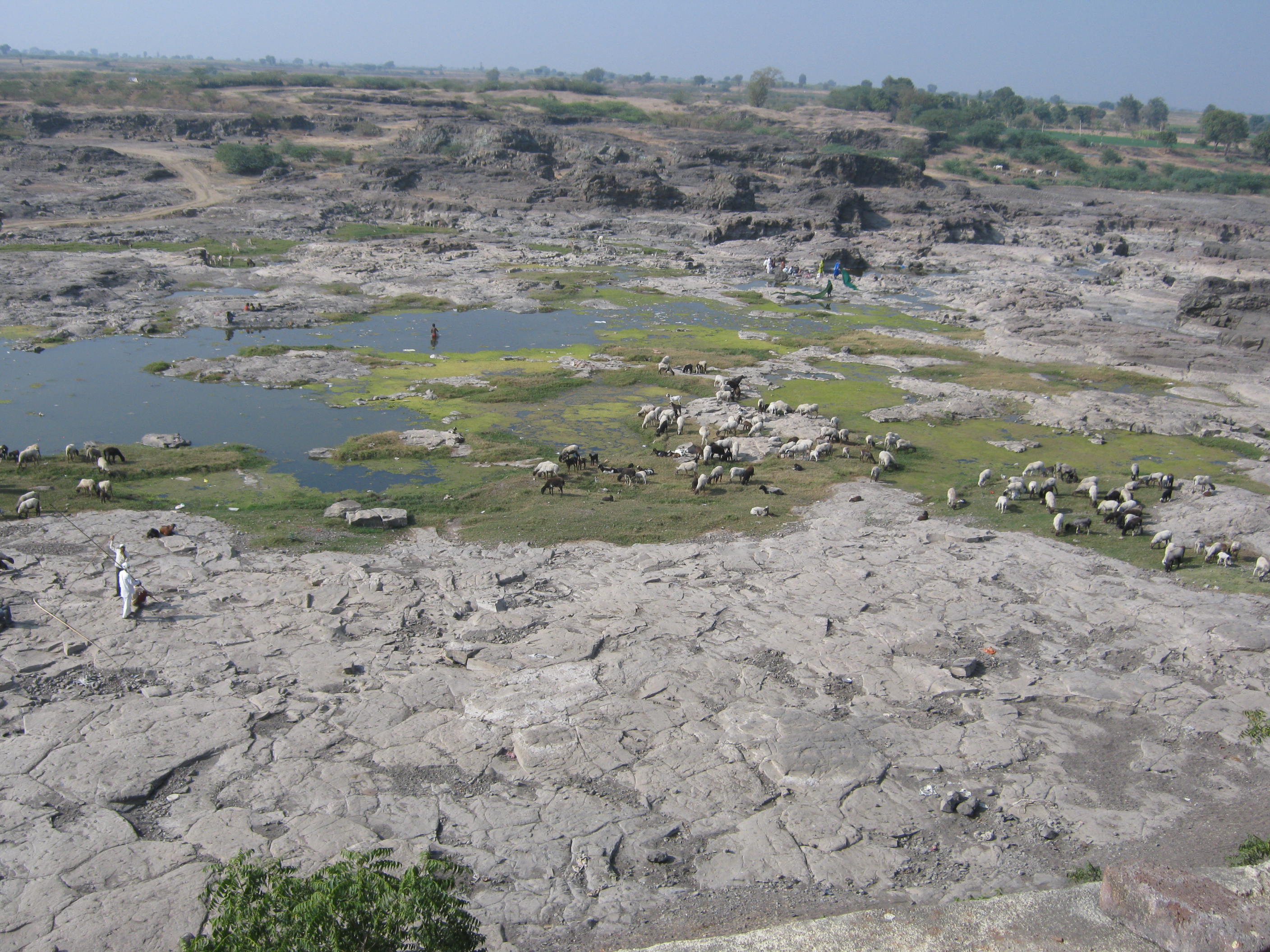
The Godavari originates in the Western Ghats near Nashik, just 80 kilometers from the Arabian Sea, yet it flows in the opposite direction. It runs eastward across the Deccan Plateau for 1,465 kilometers, gathering tributary after tributary as it carves through landscapes shaped by ancient volcanic activity. Near Nashik, the river tumbles over rocky ledges, forming waterfalls like the Someshwar Falls, locally known as Dudhsagar for its milk-white spray. Beyond the city, the Godavari bends sharply past the remains of a Mughal cliff fort before collecting the Darna, the Pravara, and the Kadva rivers. By the time it reaches Paithan, the Jayakwadi Dam impounds it into the vast Nathsagar Reservoir, one of Maharashtra's most important water sources.
Three States, One Basin
The river's basin divides into three sections: Upper, Middle, and Lower, each with a distinct character. Maharashtra claims nearly half the drainage area, and the upper basin alone covers 152,199 square kilometers. As the Godavari enters Telangana, it merges with the Manjira River to form a triple confluence at Kandakurthy, then fills the Sriram Sagar Dam before widening into sandy braided channels dotted with islands. At Bhadrachalam, one of Hinduism's important pilgrimage towns, the river swells further with the Kinnerasani tributary. When it finally crosses into Andhra Pradesh, it squeezes through the Papi Hills of the Eastern Ghats, its bed narrowing into gorges with a plunge pool reaching 45 meters below sea level, before opening onto the coastal plains at Rajamahendravaram.
The Delta That Feeds a Subcontinent
At Rajamahendravaram, the Dowleswaram Barrage splits the Godavari into its great distributaries. The river divides first into the Gautami and Vasishta branches, then subdivides further, spreading across 170 kilometers of coastline along the Bay of Bengal. This region, known as Konaseema, is among India's most productive agricultural areas. Together with the neighboring Krishna River delta, it forms what Indians call the Rice Granary of South India. The Gautami branch passes through Yanam, a former French colonial enclave now part of the Puducherry union territory, before reaching the sea at Point Godavery. The delta supports a population density of 729 people per square kilometer, nearly double the Indian average, and the annual flood cycle remains the region's lifeblood and its greatest threat.
Sacred Water, Contested Water
The Godavari carries the highest flood flows of any river in India. In 1986, the river recorded a staggering 3.6 million cusecs, and annual floods of one million cusecs are considered normal. Nearly 50 percent of the river's average annual flow of 110 billion cubic meters is now harnessed by dams and barrages, and the allocation of water among riparian states falls under the Godavari Water Disputes Tribunal. Yet for all the engineering, the river's oldest function persists. At Trimbakeshwar, pilgrims perform the Kumbh Mela rituals. At Bhadrachalam, devotees honor Lord Rama. Along the banks of Nashik, Nanded, and Rajamahendravaram, funeral ghats return the ashes of the dead to the current. The Godavari is infrastructure and scripture simultaneously, a river that irrigates millions of hectares while carrying the prayers of millions of people to the sea.
From the Air
The Godavari originates near 19.93N, 73.53E at Trimbakeshwar, Maharashtra, approximately 80 km from the Arabian Sea coast. From the air, the river is visible as a wide, braided watercourse crossing the Deccan Plateau eastward. Major landmarks include the Jayakwadi Dam/Nathsagar Reservoir near Paithan and the extensive delta at Rajamahendravaram. Nearest airports to the source: Nashik Airport (VANR). Along the course: Aurangabad Airport (VAAU), Hyderabad (VOHS), and Rajahmundry Airport (VORY) near the delta. Best viewed at 15,000-20,000 feet for the full scale of the river's braided channels and reservoir systems.