Golden Gate
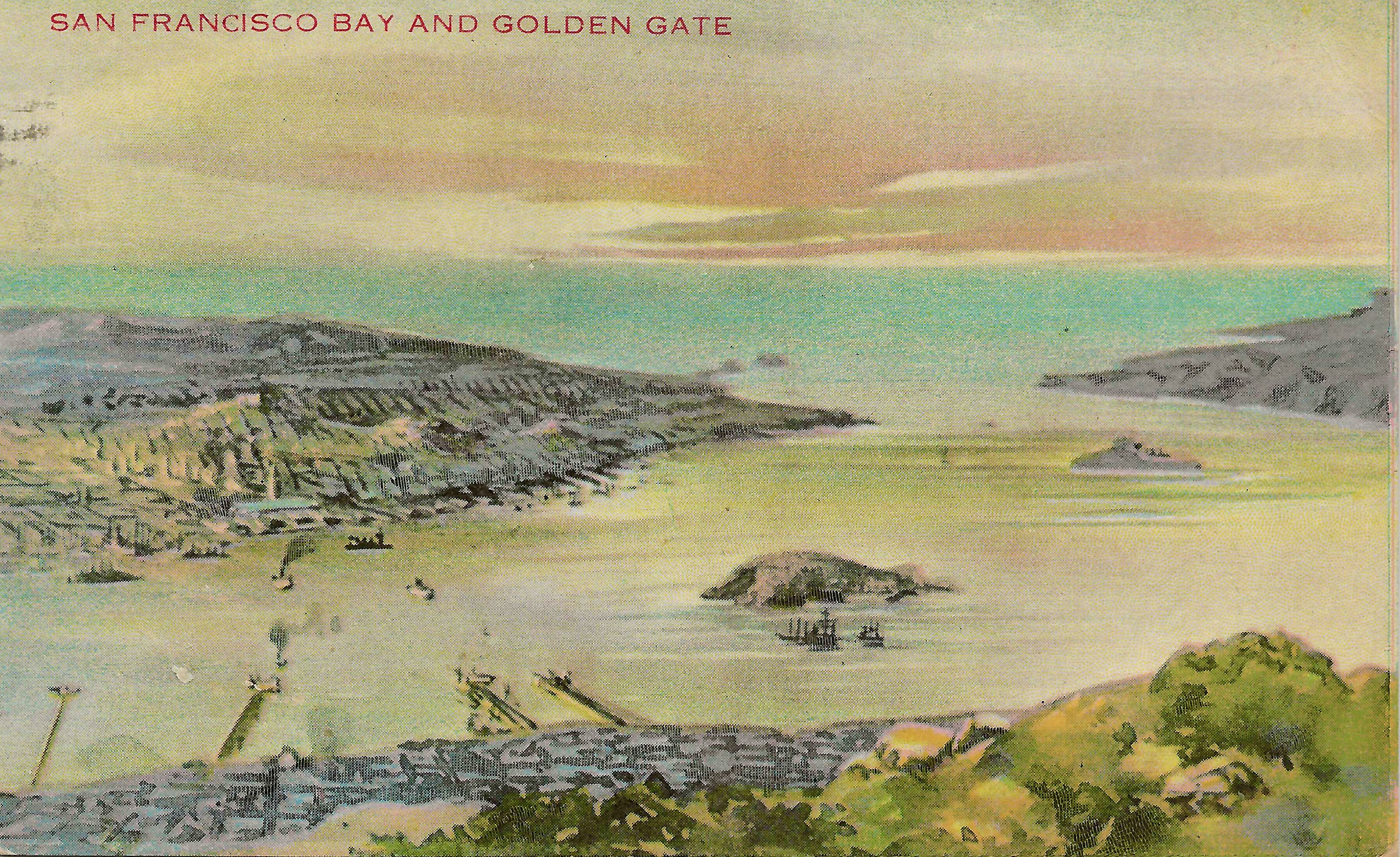
For most of its existence, the Golden Gate did not exist. During the last ice age, when sea levels dropped hundreds of feet, the strait was a river valley -- the Sacramento and San Joaquin rivers carved through coastal mountains on their way to a Pacific shoreline miles farther west than today's. When the glaciers melted and the ocean rose, water flooded the valley, creating a mile-wide passage between the Pacific and one of the world's great natural harbors. The strait is barely 300 feet deep at its center, but the tidal forces pushing through it are immense, generating currents that can reach six knots.
Naming the Narrows
The strait was named by explorer John C. Fremont in 1846, during the opening months of the Mexican-American War. Fremont called it Chrysopylae -- the Golden Gate -- drawing an analogy to Chrysoceras, the Golden Horn of Constantinople's harbor. The name was prophetic: within three years, the discovery of gold at Sutter's Mill would send tens of thousands of prospectors through this passage on their way to the Sierra Nevada goldfields. Ships from every maritime nation crowded through the strait, and the bay behind it became one of the busiest ports in the world. The name stuck not because of Fremont's classical allusion but because gold made it literal.
The Geology of a Passage
The Golden Gate cuts through the Coast Ranges at a point where the San Andreas Fault and associated geological structures have created a weakness in the coastal mountain barrier. The headlands on either side -- the San Francisco Peninsula to the south and the Marin Peninsula to the north -- are composed of different geological formations, separated by fault lines. The strait is approximately one mile wide at its narrowest point and three miles long from the bay to the open ocean. Tidal exchanges between the bay and the Pacific push enormous volumes of water through this constriction twice daily, creating powerful currents, turbulent eddies, and the fog that forms when warm inland air meets cold ocean water pouring through the gap.
Before the Bridge
For centuries, the Golden Gate was uncrossable except by boat. The Miwok and Ohlone peoples who lived on either side of the strait used boats to fish and trade, but the powerful currents made the crossing dangerous. Spanish explorers sailed past the entrance multiple times without recognizing it -- the headlands, often obscured by fog, concealed the opening to the bay. The strait was not entered by Europeans until 1775, when the Spanish ship San Carlos sailed through. Once San Francisco became a major city, ferries connected the two shores, but the crossing remained at the mercy of weather and tides. The idea of spanning the strait with a bridge was first proposed in the nineteenth century and dismissed as impossible.
The Strait Today
Since 1937, the Golden Gate Bridge has spanned the strait, its towers rising 746 feet above the water. But the bridge has not tamed the Golden Gate. The currents still run at dangerous speeds. The fog still pours through the gap on summer afternoons, reducing visibility to yards. The entire shoreline and adjacent waters throughout the strait are managed by the Golden Gate National Recreation Area, making this one of the most protected coastal landscapes in the country. From the headlands on either side, the view through the strait frames the Pacific horizon -- an opening that has served as the front door to California for every ship, every immigrant, every gold seeker, and every morning fog bank that has entered the bay for the last ten thousand years.
From the Air
The Golden Gate strait is located at approximately 37.82N, 122.48W, connecting San Francisco Bay to the Pacific Ocean. The Golden Gate Bridge spanning the strait is one of the most recognizable landmarks from the air worldwide. The strait is approximately 1 mile wide and 3 miles long. Terrain on both sides rises steeply -- the Marin Headlands to the north (900+ feet) and the Presidio/Fort Point area to the south. Nearby airports: KSFO (12nm S), KOAK (12nm E). Strong crosswinds and turbulence common in the strait.