Grand Staircase-Escalante National Monument
It was the last landscape mapped in the contiguous United States. When cartographers finally filled in this blank spot on the American map, what they found was 1.7 million acres of southern Utah so remote and so rugged that it had simply resisted all attempts at documentation. The Grand Staircase-Escalante National Monument protects three distinct regions -- the Grand Staircase, the Kaiparowits Plateau, and the Canyons of the Escalante -- each one a geological library written in stone, bone, and deep time. Established in 1996 by President Bill Clinton under the Antiquities Act, it became the first and largest national monument managed by the Bureau of Land Management. The land is slightly larger in area than the state of Delaware.
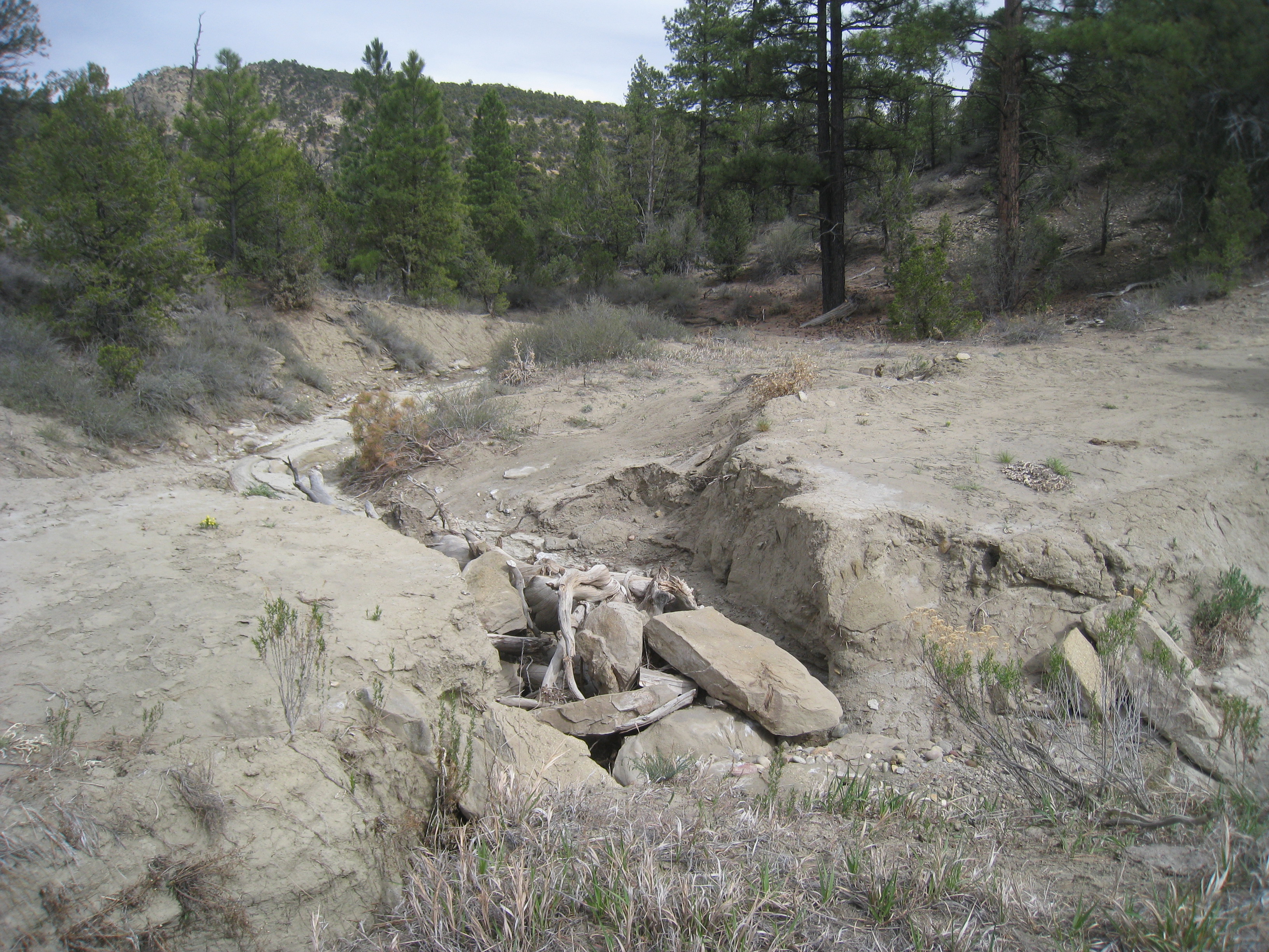
Bones in the Plateau
The Kaiparowits Plateau dominates the monument's center, a single long ridge called Fifty-Mile Mountain when viewed from the east, its face dropping in a sheer escarpment toward Glen Canyon and the Colorado River. Beneath its surface lies one of the richest fossil beds in North America. In 2007, the Utah Geological Survey announced two ceratopsid dinosaurs uncovered in the Wahweap Formation -- creatures that roamed here roughly 80 million years ago. Both fossils, nicknamed the Last Chance skull and the Nipple Butte skull, were later identified as Diabloceratops. In 2013, researchers unveiled Lythronax argestes, a tyrannosaur approximately 13 million years older than Tyrannosaurus rex, named for its striking resemblance to its famous descendant. The specimens reside at the Natural History Museum of Utah in Salt Lake City.
Hole in the Rock
Humans settled permanently here around AD 500, during the Basketmaker III Era. Both the Fremont people and ancestral Puebloans made their lives in these canyons, growing corn, beans, and squash, building brush-roofed pithouses, and sheltering beneath the natural rock overhangs. But the most astonishing human story belongs to the San Juan Expedition of 1879. A group of Mormon settlers, crossing this unmapped wilderness toward a colony in southeastern Utah, arrived at the sandstone cliffs surrounding Glen Canyon and found the only breach for miles in the otherwise vertical walls. They named it Hole-in-the-Rock. With winter closing in, they chose to go down rather than retreat. Six weeks of blasting, excavating, and lowering wagons by pulley brought them to the Colorado River, where they built a ferry, crossed, and climbed out through Cottonwood Canyon on the far side.
A Monument Born in Controversy
The monument was declared on September 18, 1996, during the height of the presidential election campaign, and controversy attended it from the first moment. Clinton held the declaration ceremony at Grand Canyon National Park in Arizona rather than in Utah, a choice that stung. Local officials, including Democratic U.S. Representative Bill Orton, objected that the Antiquities Act was never meant to protect such vast tracts of land. Federal courts dismissed every legal challenge. The designation also killed the proposed Andalex Coal Mine on the Kaiparowits Plateau, a decision that pleased environmentalists and infuriated those who saw economic opportunity locked away. State trust lands scattered within the monument were eventually exchanged for federal lands elsewhere in Utah, plus mineral rights and $50 million in cash through the Utah Schools and Lands Exchange Act of 1998.
Shrunk, Restored, Contested
In December 2017, President Donald Trump ordered the monument reduced by nearly 47%, and the administration subsequently approved logging and coal mining in the excluded areas. Conservation and outdoor recreation groups filed suit immediately. On his first day in office in 2021, President Joe Biden signed an executive order reviewing the reductions, and on October 8, 2021, he restored the original boundaries. In August 2023, U.S. District Judge David Nuffer dismissed all challenges, ruling that the Antiquities Act grants the president broad authority that courts cannot second-guess. Utah and other parties appealed, and the Tenth Circuit Court heard arguments in September 2024. No challenge to the Act has succeeded in over a century of its history. Through it all, the land itself remains indifferent to the courtrooms -- ancient, vast, and still barely mapped in any way that matters.
From the Air
Located at 37.40N, 111.68W in southern Utah. The monument stretches from Big Water and Kanab in the southwest to Escalante and Boulder in the northeast. The Kaiparowits Plateau / Fifty-Mile Mountain is a prominent linear ridge visible from cruising altitude. The Escalante River canyon system provides dramatic visual contrast. Best viewed at 8,000-12,000 ft AGL. Nearby airports include Kanab Municipal Airport (KKNB) to the southwest and Bryce Canyon Airport (KBCE) to the northwest. Glen Canyon and Lake Powell provide major navigation references along the southern boundary.