Great Barrier Island
There are no streetlights on Great Barrier Island. No power grid, no mains water, no traffic lights. In 2017, the International Dark-Sky Association designated this 285-square-kilometer island a Dark Sky Sanctuary -- the third in the world and the first on an island. Stand on Mount Hobson's 627-meter summit after dark and the Milky Way arches overhead with a clarity that most people in nearby Auckland have never experienced. That Auckland is only 100 kilometers to the southwest makes the contrast almost absurd: New Zealand's largest city glitters on one horizon while its sixth-largest island sits in voluntary darkness, its 939 residents generating their own power, collecting their own water, and living a version of New Zealand that the mainland left behind decades ago.
Aotea -- Three Volcanoes, One Island
The Maori name for the island is Aotea. Captain Cook gave it the English name for a practical reason: it acts as a physical barrier between the Pacific Ocean and the Hauraki Gulf. Beneath the bush and farmland, the island is built from the remains of three separate volcanoes, all products of the Coromandel Volcanic Zone. The North Great Barrier Volcano formed between 18 and 17 million years ago, some of the earliest activity in the zone. The Great Barrier Volcano followed between 15 and 12 million years ago; much of the modern island consists of its eroded eastern flanks. The third and youngest, Mount Hobson, is the caldera of a rhyolite dome volcano active between 12 and 8 million years ago. During the Last Glacial Maximum about 17,000 years ago, sea levels dropped over 100 meters and the Hauraki Gulf became a coastal plain. Great Barrier was connected to the North Island by a land bridge along the Colville Channel.
Copper, Gold, and the Sound of the Battery
Europeans came for the minerals. Copper was discovered in the remote north, and New Zealand's earliest mines were established at Miners Head in 1842 -- traces of which remain, accessible mainly by boat. Gold and silver followed in the 1890s around Okupu and Whangaparapara. A stamping battery on Whangaparapara Road crushed ore with such force that the sound reportedly carried across 20 kilometers of open water to the Coromandel Peninsula. Semi-collapsed mining shafts still honeycomb the regenerating bushland. The logging industry stripped the ancient kauri forests, and the landscape today is mostly younger native growth, supplemented by roughly 150,000 kauri seedlings planted by the New Zealand Forest Service in the 1970s and 1980s. Some original kauri survive in the far north of the island, remnants of a forest that once seemed inexhaustible.
Living Off the Grid
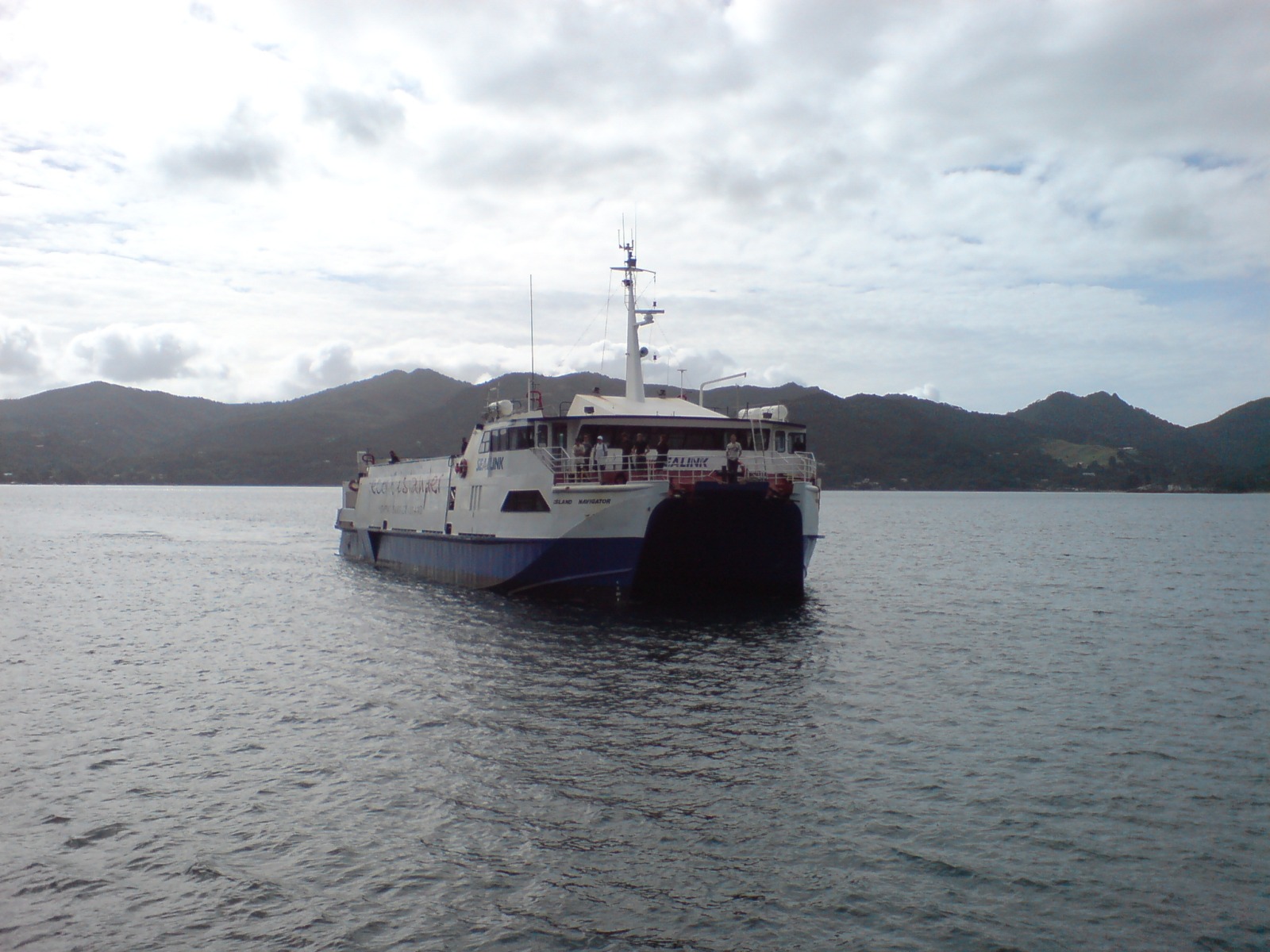
Every household on Great Barrier Island generates its own electricity -- typically through solar panels, small wind turbines, or diesel generators. There is no reticulated power supply. The island has two marae affiliated with Ngati Rehua and Ngatiwai: Kawa Marae with its Rehua meeting house, and Motairehe Marae with its Whakaruruhau meeting house. In October 2020, the government committed $313,007 from the Provincial Growth Fund to upgrade Kawa Marae. The wreck of the SS Wiltshire lies in the far southeast, one of many reminders that this island has always existed at the edge of infrastructure. Ferry services connect to Auckland, and small aircraft land at the island's airstrip, but Great Barrier remains a place where self-sufficiency is not a lifestyle choice -- it is the only option.
Where the Stars Come Back
The Dark Sky Sanctuary designation recognizes something that Great Barrier's residents have always known: when you remove artificial light, the night sky becomes overwhelming. The accreditation in 2017 was given for sites in very remote locations to promote awareness of dark sky characteristics and long-term conservation of natural darkness. At the time, Great Barrier was only the third Dark Sky Sanctuary globally. The designation has drawn a particular kind of visitor -- stargazers, astrophotographers, and people simply looking for a night sky undiminished by light pollution. From the island's ridgelines, the absence of glow on the horizon in every direction makes the darkness feel continental rather than insular.
A Refuge for Rare Wings
Roughly sixty percent of Great Barrier Island is administered as a nature reserve by the Department of Conservation. Without the predator populations that plague the mainland, the island serves as a relative haven for native species. Brown teal ducks, black petrels, and kaka all breed here -- birds that have been pushed to the margins elsewhere in New Zealand. Feral goats have been managed to protect native vegetation, and the regenerating bushland provides increasingly viable habitat as the planted kauri mature. The island exists in a productive tension between its human past -- mining, logging, farming -- and its ecological present, where the bush reclaims what industry abandoned and rare birds nest in the silence.
From the Air
Located at 36.18S, 175.42E in the outer Hauraki Gulf, 100 kilometers northeast of Auckland. The island is 285 square kilometers with a mountainous spine running north-south, peaking at Mount Hobson (627m). Look for the deeply indented harbors -- Port Fitzroy in the northwest and Tryphena in the south. No major airport; the island has a small grass airstrip at Claris (NZGB). Ferry services from Auckland. The island lacks streetlights, so it appears as a dark mass from the air at night. Little Barrier Island (Hauturu) is visible to the southwest. The Coromandel Peninsula lies to the southeast across the Colville Channel.