Great Sand Dunes National Park
The dunes shouldn't be here. At 8,200 feet above sea level, backed by 13,000-foot peaks of the Sangre de Cristo Range, this 30-square-mile sea of sand seems transported from the Sahara and deposited in the Colorado Rockies. Yet the geology makes perfect sense: prevailing winds carry sand from the Rio Grande's ancient bed toward the mountains, where opposing winds push it back, piling grains into the tallest dunes in North America. The result is a landscape so improbable that visitors often stop their cars on the approach road, certain they've taken a wrong turn somewhere.
Mountains of Sand
The highest dunes crest at 750 feet above the valley floor, their knife-edge ridges sculpted by winds that blow from opposite directions at different times of day. There are no marked trails in the dune field itself - visitors simply walk into the sand and wander until they've had their fill. The scale deceives: what appears to be a fifteen-minute walk to the first ridge becomes an hour of sinking, sliding progress. The sand itself runs from cool in morning to scorching at midday, cold enough to require layers at night. Those who camp in the dunes - a free permit required - experience temperature swings of fifty degrees as the sand rapidly absorbs and releases heat. Veterans recommend turbans for sun protection and sand-resistant tent stakes for survival.
The Beach at 8,000 Feet
In spring and early summer, snowmelt from the Sangre de Cristos feeds Medano Creek, which curves along the southern edge of the dunes. Where water meets sand, a beach materializes in the Colorado mountains - complete with families splashing in the shallows, children building sandcastles, and the incongruity of beach volleyball with snow-capped peaks as backdrop. The creek runs only about six inches deep, warmed by the sun, and creates a surge-flow phenomenon where waves pulse across the sandy bottom. By late summer, the creek often runs dry. The changing room near the visitor center exists for those who've learned that getting sand out of clothes requires more than brushing.
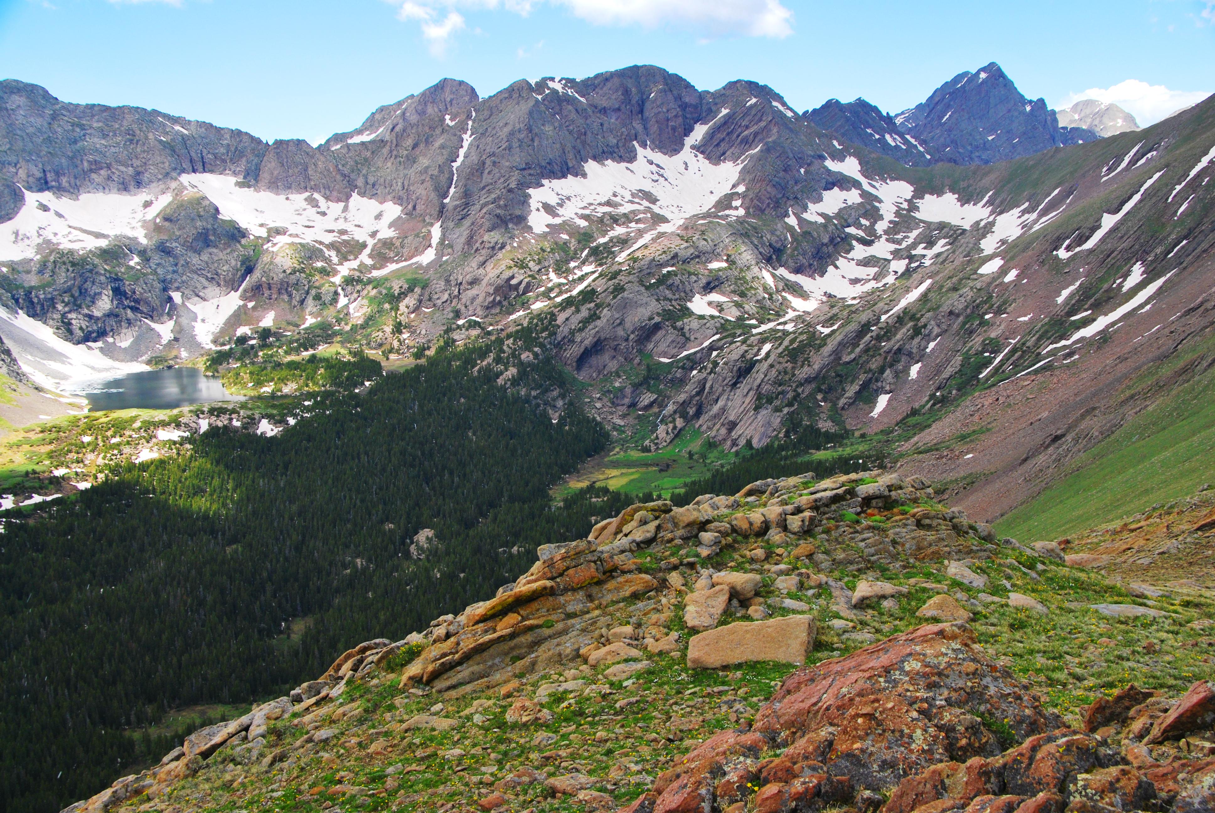
High Country Beyond
Beyond the dunes, the park expands into genuine alpine territory. Six peaks exceed 13,000 feet, including Kit Carson Peak and Crestone Peak. The backcountry contains alpine lakes, tundra, ancient spruce and pine forests, and large stands of aspen and cottonwood. A rugged four-wheel-drive road leads to Medano Pass on the park's eastern boundary, offering backcountry car camping for those willing to navigate the challenging terrain. The contrast is striking: in a single day, visitors can wade in a warm creek, climb sand dunes, and hike into subalpine forest. Afternoon thunderstorms in July and August bring lightning that strikes the exposed dunes - rangers recommend departing the dune field promptly when clouds build.
Land of Cool Sunshine
The San Luis Valley, cradling the dunes at its eastern edge, claims 300 days of sunshine annually yet rarely reaches scorching temperatures. Summer days average in the mid-80s Fahrenheit; summer nights can drop into the 40s. Winter brings bitter cold - the record is minus 25 degrees - but sunshine remains abundant. The valley floor receives only 11 inches of precipitation annually, with March and April paradoxically bringing the heaviest snow. Spring winds can be fierce, whipping sand into visitors' eyes and cameras. The locals call this the 'Land of Cool Sunshine,' and the name captures both the clarity of the light and the bite in the air, even in summer.
Unlikely Neighbors
Just north of the park entrance road, Colorado Gators raises alligators in the San Luis Valley - perhaps the only reptile farm surrounded by 13,000-foot peaks. Geothermal springs provide the warmth these subtropical creatures require. The juxtaposition captures the essential strangeness of this region: alpine desert, subtropical reptiles, the tallest dunes in North America backed by some of the highest peaks in the Rockies. The park itself began in 1932 as a national monument, covering only the dunes. Concern about protecting the watershed led to expansion; by 2004, it had grown into a full national park and preserve. The dunes, though, remain the reason people come - that impossible wall of sand rising from the valley floor, glowing amber at sunset against the purple shadows of the Blood of Christ Mountains.
From the Air
Located at 37.73°N, 105.51°W in south-central Colorado. The dunes appear as a distinctive tan patch against the green valley floor, backed by the Sangre de Cristo Range to the east. The contrast between sand and mountains is visible at cruising altitude. San Luis Valley Regional Airport (KALS) in Alamosa is 30nm southwest; Colorado Springs (KCOS) is 120nm northeast. The park sits at 8,200 feet elevation; the surrounding peaks exceed 13,000 feet. Best viewed in clear conditions when the late afternoon sun illuminates the dune field.