Green River Trail
The river changes its name but not its character. At Cecil Moses Park near Seattle's southern boundary, the waterway is called the Duwamish, an industrial estuary lined with warehouses and tugboat moorings. A few miles upstream, past the junction with the Black River, it becomes the Green, and the landscape shifts from freight yards to cottonwood groves and osprey nests. The Green River Trail stitches these two worlds together over 19 miles of paved path, crossing the river on bridges, ducking under interstate overpasses, and threading through more than a dozen parks on its way from Tukwila to Kent. It is one of King County's most-used trails, a commuting corridor for cyclists pedaling to the business parks of the Green River Valley and a weekend escape for runners, skaters, and families who want a river walk without leaving the suburbs.
Two Rivers, One Path
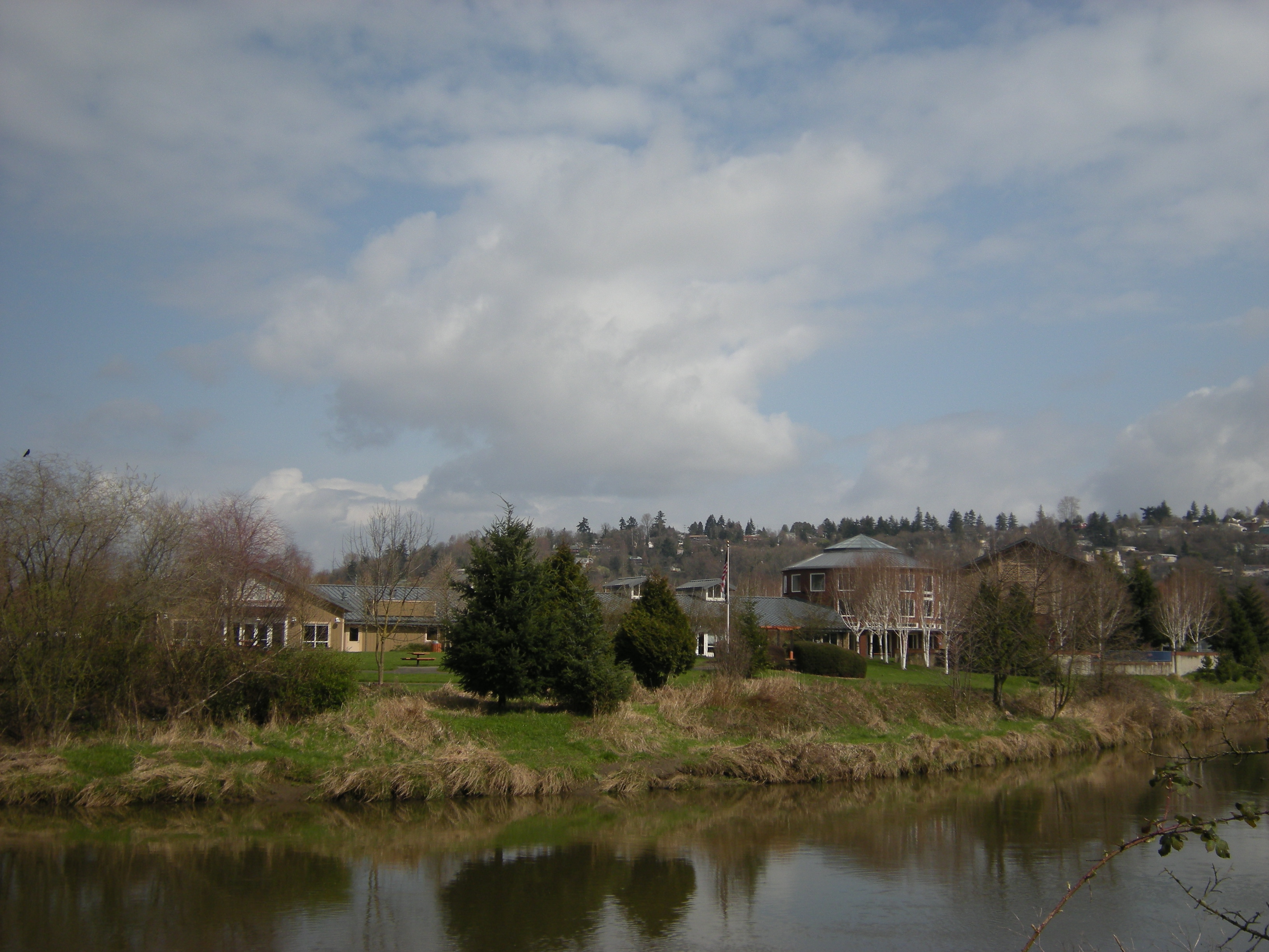
The trail begins where the Duwamish River flows through Tukwila's Allentown neighborhood, a working-class district where the City of Tukwila Community Center sits across the water. Heading south, the path crosses under Interstate 5, skirts the Foster Golf Links, and rejoins the riverbank just above the confluence with the Black River. This junction is the dividing line: above it, the waterway is the Green River; below, the Duwamish. The trail winds through Fort Dent Park, crossing from one bank to the other, before reaching the northern junction with the Interurban Trail. From there, the two trails offer a choice: the Interurban heads straight south like a surveyor's line, while the Green River Trail follows the river's lazy meanders, hugging the banks through Tukwila's Bicentennial Park and along the Desimone Levee toward Briscoe Park.
Parks Strung Like Beads on a River
What makes the Green River Trail distinctive is the sheer number of green spaces it connects. South of the Desimone Levee, the trail passes through or alongside Three Friends Fishing Hole, Anderson Park, the Green River Natural Resources Area, and Van Doren's Landing Park, each separated by narrow green belts that buffer the path from surrounding development. Near Russell Road Park, the river makes the first of several sweeping bends, and the trail follows every curve. After rounding the Riverbend Golf Course, the path turns generally east through Riverview Park, reconnects with the Interurban Trail at Foster Park, and threads along several Kent city streets before a final riverside segment delivers walkers to North Green River Park, the trail's current southern terminus.
A Commuter's River Road
The Green River Valley is one of the Puget Sound region's densest employment zones, packed with distribution centers, aerospace suppliers, and light manufacturing. The trail serves double duty as recreation and transportation infrastructure, giving cyclists a car-free route through an area where arterial roads are clogged with truck traffic. Covered benches along the route offer rest stops, and the paved surface accommodates wheelchairs and strollers alongside racing bikes. The trail's intersections with the Interurban Trail create a convenient loop: riders can head south on one trail and return north on the other, a circuit of roughly 30 miles that showcases the full range of the valley's landscapes, from industrial riverfront to pastoral farmland.
The River Ahead
The Green River Trail does not end so much as pause. Long-range plans call for extending the path south through Auburn and eventually to Flaming Geyser State Park, deep in the Green River Gorge where the river cuts through forested canyon walls. That extension would transform the trail from a suburban commuter path into a genuine river journey, linking tidewater to gorge over a distance of more than 30 miles. For now, the trail remains one of King County's best-kept secrets: a quiet ribbon of pavement where herons stand in the shallows, osprey circle above the cottonwoods, and the river carries its steady current from the Cascade foothills to Elliott Bay.
From the Air
The Green River Trail follows the Duwamish/Green River corridor from approximately 47.509N, 122.301W (near Tukwila) southward through the Green River Valley to Kent. From the air, the trail is visible as a paved path along the riverbanks, threading through parks and green spaces in an otherwise industrial and suburban landscape. The Green River Valley is the broad, flat floodplain south of downtown Seattle, easily identifiable by the meandering river course and the contrast between green buffers and warehouse rooftops. Nearest airports: Boeing Field/King County International (KBFI) 3nm north, Seattle-Tacoma International (KSEA) 5nm southwest, Renton Municipal (KRNT) 5nm east.