Guapore Biological Reserve
Water hyacinths sometimes choke the Guapore River so completely that boats cannot pass. The floating mats of Eichhornia spread across the current, purple flowers absurdly beautiful atop the green blockade, and for a while the river belongs to no one but the giant otters hunting beneath the surface. This is the Guapore Biological Reserve, 615,771 hectares of wetland, forest, and savanna along the Brazil-Bolivia border where human entry is forbidden and the landscape answers only to the rhythm of seasonal floods.
Where Three Biomes Meet
The reserve occupies one of the most ecologically unusual positions in South America. Sitting in the Guapore Depression, an extensive pediplain in western Rondonia, it lies in the transition zone where three of Brazil's great biomes overlap. Amazon rainforest dominates the lowlands, cerrado grassland pushes in from the east, and species characteristic of the Pantanal wetlands appear along the floodplains. This convergence produces extraordinary biodiversity. Open canopy alluvial forest covers areas subject to seasonal flooding, while submontane forest occupies slightly higher ground. The tallest emergent trees reach 46 meters, breaking through the canopy with the ambition of species that have never been logged. Beneath them, a dense understory thrives in the filtered light, thick with representatives of the Rubiaceae, Melastomataceae, and Piperaceae families.
The Last Buriti Stand
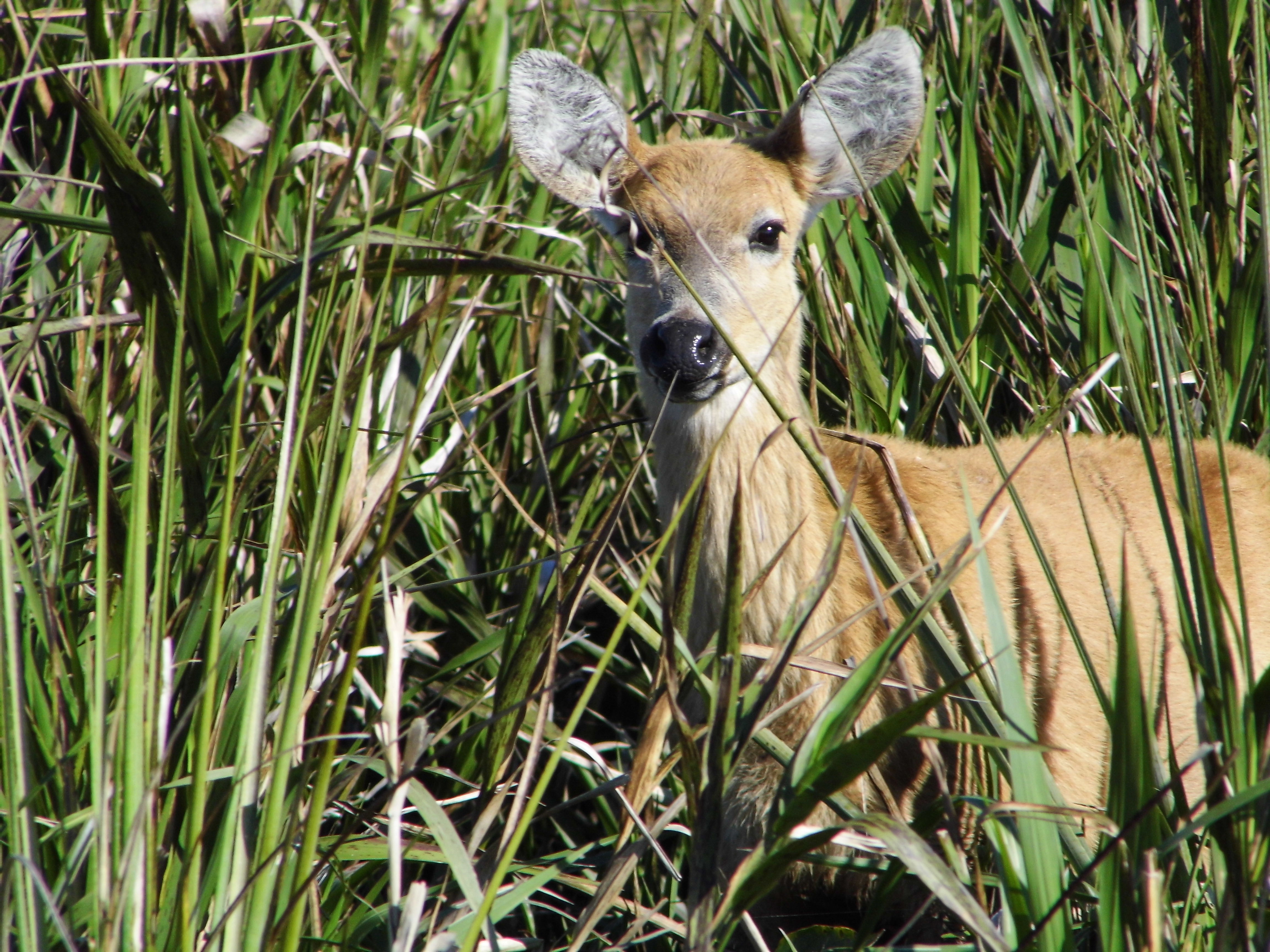
Along the river margins, a formation exists here that survives nowhere else in Rondonia. The Buriti Pioneer River Formation is dominated by the Mauritia flexuosa, the buriti palm, and it covers approximately 24 square kilometers of low-lying wetland. This is a delicate ecosystem, dependent on specific flooding patterns and water chemistry, and its loss would be irreversible. Macaws nest in the tall palms, their raucous calls carrying across the water at dawn and dusk. Marsh deer breed in the flooded grasslands beneath the palm canopy, wading through shallow water on elongated hooves evolved for exactly this kind of terrain. But the marsh deer face a newer threat: invasive water buffalo, introduced to the region by ranchers, now compete for the same habitat and disturb the fragile wetland soils.
Rivers as Ramparts
Created by decree on September 20, 1982, the reserve was one of Brazil's early commitments to protecting the Amazon. It is classified as IUCN Category Ia, the strictest level of protection, meaning no human habitation or resource extraction is permitted. The Guapore and Sao Miguel rivers serve as its northwest, west, and southwest borders, functioning as natural barriers against the loggers and illegal farmers who press in from all sides. Every year between October and March, rainstorms feed the Guapore and its tributaries, the Sao Miguel, Branco, Sao Simao, Massaco, and Colorado, swelling them across their floodplains. The seasonal pulse reshapes the landscape, connecting isolated lakes, flooding forest floors, and redistributing nutrients across an area the size of a small country. When the waters recede, the reserve's aquatic ecosystems concentrate, and jaguars, giant otters, and black spider monkeys converge on the remaining waterways.
Guardians and Corridors
The Chico Mendes Institute for Biodiversity Conservation manages the reserve, named for the rubber tapper and environmental activist murdered in 1988 for opposing deforestation. The institute's mandate here is specific: protect a representative sample of the transition ecosystem between Amazon and cerrado, safeguard aquatic ecosystems of rivers, lakes, flooded fields, and submerged forests, and ensure the survival of threatened species. The list of protected animals is sobering. Marsh deer, jaguars, and giant otters are all classified as vulnerable or endangered. The reserve forms part of the proposed Western Amazon Ecological Corridor, a vision for connecting protected areas across the basin to allow wildlife populations to move, interbreed, and persist across a landscape increasingly fragmented by human activity. Within the reserve's boundaries, at least, that vision holds.
From the Air
Located at 12.43S, 62.89W along the Brazil-Bolivia border in Rondonia. From altitude, the reserve appears as an enormous expanse of dark green wetland and forest, bordered by the sinuous Guapore River. The seasonal flooding is visible from above as vast silver sheets of water beneath the canopy. Nearest airport is Vilhena (SBVH) approximately 300 km southeast, or Porto Velho (SBPV) roughly 400 km north. Best viewed at 20,000-30,000 feet where the river boundaries and flooding patterns are clearly visible against the surrounding landscape.