Guiengola
The Aztecs had conquered most of Mesoamerica by the late fifteenth century. Their armies had taken Tenochtitlan from a swamp city to the center of an empire stretching from the Gulf to the Pacific. But at Guiengola, a fortified city perched on a limestone plateau fourteen kilometers north of Tehuantepec, the expansion stalled. The Zapotec king Cocijoeza and his Mixtec allies held the fortress against the forces of the Aztec ruler Ahuizotl for seven months in 1497. The siege ended not with a Zapotec defeat but with a diplomatic marriage -- Cocijoeza wed one of Ahuizotl's daughters, and the Aztecs never occupied Guiengola. The name means "large stone" in Isthmus Zapotec, from guie (stone) and ngola (large or old). It is an accurate description of the place.
A City Hidden by Jungle
For centuries, colonial documents dismissed Guiengola as merely a fortress. The subtropical dry broadleaf forest that covers the plateau made it nearly impossible to survey from the air -- canopy blocked any view of what lay beneath. Archaeologists Edward Seler, Peterson, MacDougall, and Fernandez Davila mapped portions of the ceremonial center over the decades, documenting the two largest temples in the settlement. But the site's true scale remained unknown until researcher Ramon Celis deployed airborne LiDAR between 2018 and 2023. What the laser scans revealed stunned the archaeological community: Guiengola was not a garrison but a fortified city of 360 hectares containing more than a thousand structures, an internal road network, a walled system of fortifications, and a hierarchically organized urban plan. The city that the Aztecs could not take was far larger and more complex than anyone had imagined.
Pyramids, Plazas, and a Palace of Sixty-Four Rooms
The ceremonial heart of Guiengola sits on an artificially leveled surface measuring roughly 150 by 200 meters, constructed between two rocky hills. Two pyramids -- eastern and western -- face each other across sunken plazas, each consisting of three stepped tiers with embedded staircases eight meters wide. Round altars stand in the plaza centers where priests once performed rites. A ballgame court occupies the southern edge, its rectangular form surrounded by low walls, typical of the Postclassic period. Nearby, two circular structures may have served as astronomical observatories, their doorways aligned to track significant stars. Southeast of the ceremonial precinct, the palace complex sprawls across 11,000 square meters of irregular, heavily guarded terrain. Its sixty-four rooms cascade down sloped terraces connected by stairways, some featuring circular columns. A round lookout, built atop a natural rock promontory on the eastern side, commands a panoramic view of the isthmus. On clear days, the Pacific Ocean is visible from there.
The Last Zapotec King
Cocijoeza ruled from Guiengola at a moment when the Zapotec world was shrinking. The Aztecs, under Ahuizotl, sought not just tribute but control of the trade routes running through the Isthmus to Soconusco and Guatemala -- routes that had moved jade, gold, feathers, cocoa, and cotton for centuries. Cocijoeza's resistance was remarkable not only for its military success but for its political aftermath. The marriage alliance preserved Zapotec autonomy even as Aztec power reached its zenith. Cocijoeza became the last Zapotec king. When the Spanish arrived, he was baptized as "Juan Cortes" and subsequently tried by the Spanish Inquisition on charges of idolatry. The civilization he had defended -- with its own writing system dating to at least 500 BCE, its tone language, and its tradition of gold and jade artisanship -- had endured for more than two thousand five hundred years before European contact. Guiengola was its final stronghold.
Caves, Tombs, and What Remains
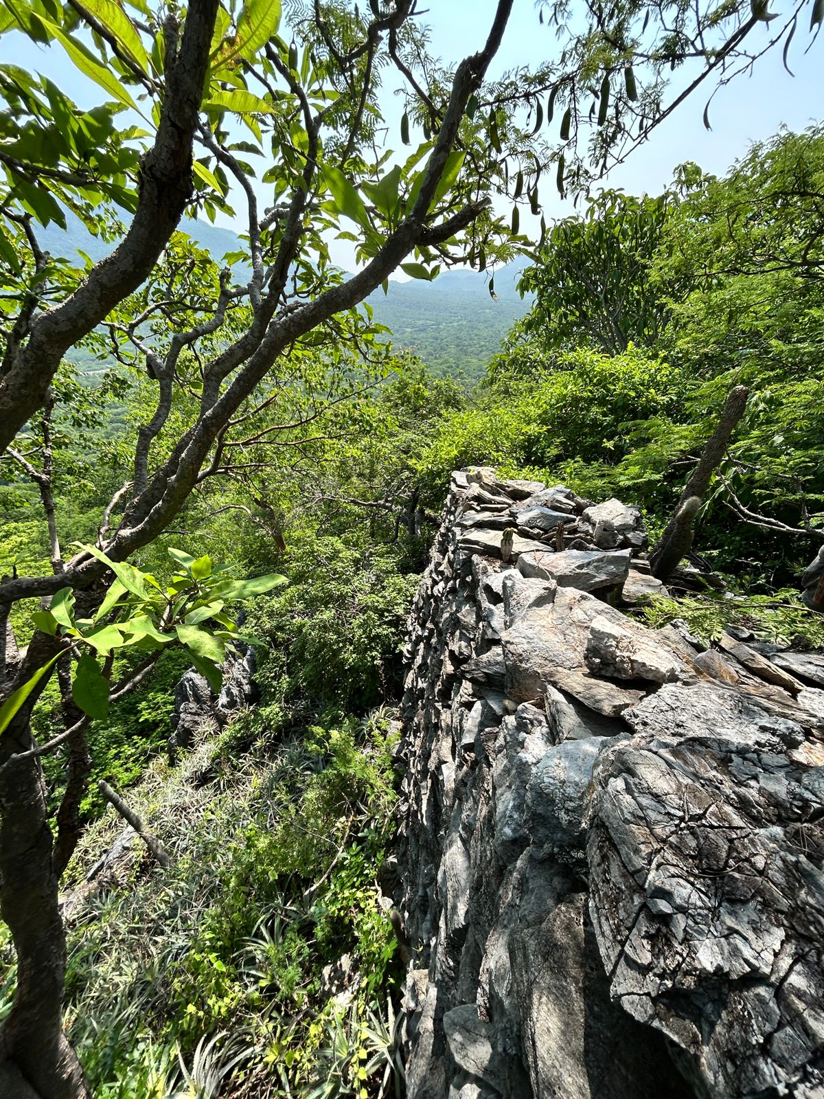
The limestone plateau is riddled with caves, some natural and some carved into the sinkhole walls. At least one, located at the base of the large rocks near the ceremonial area, held stalactites and stalagmites and likely contained cave paintings, though these have been almost entirely destroyed. Cruciform tombs cluster along the northern border of a small valley at the plaza's northwest corner, forming what appears to be a cemetery. The two principal tombs, both looted by the nineteenth century, were family interment sites with front chambers for religious idols and rear chambers for burials. All structures were built with small stone slabs quarried locally, jointed with mortar, and finished with stucco -- a construction method that has kept many walls standing for more than seven hundred years. Today the site remains difficult to reach, accessible via a dirt road off Federal Highway 190. The same rugged terrain that made Guiengola impregnable to the Aztecs continues to protect it, this time from the pressures of mass tourism.
From the Air
Located at 16.39N, 95.32W on a limestone plateau approximately 14 km north of Tehuantepec in the Isthmus of Oaxaca. The site is covered by subtropical dry broadleaf forest, making structures difficult to identify from the air without LiDAR. The plateau rises prominently above the surrounding lowlands, with the Pacific Ocean visible from the site on clear days. Nearest airport is Ixtepec Airport (MMIT). Federal Highway 190 passes nearby, connecting Oaxaca City (243 km northwest) with Tehuantepec.