Gulf of Paria
Columbus called it the Gulf of the Whale. By the late 18th century, cartographers had taken to calling it the Sad Gulf -- a name that stuck in maps long enough to become a footnote and a mood. The whaling industry of the 1800s had eliminated the whales entirely, and populations have never recovered. Today the Gulf of Paria is a 7,800-square-kilometer shallow inland sea wedged between Trinidad and eastern Venezuela, one of the best natural harbors on the Atlantic coast of the Americas, and a place where the Orinoco River's muddy discharge meets Caribbean salt water in a brackish, productive, contested expanse.
Between the Dragon and the Serpent
The Gulf of Paria is almost landlocked. In the north, it connects to the Caribbean Sea through the Dragons' Mouths -- the narrow passages between Venezuela's Paria Peninsula and Trinidad's Chaguaramas Peninsula. In the south, it meets the Atlantic Ocean through the Columbus Channel, also known as the Serpent's Mouth, between Trinidad's Cedros Peninsula and the vast Orinoco Delta. At its narrowest, only 15 kilometers of water separate the two countries; at its widest, 120 kilometers. The water is shallow -- 180 meters at the absolute deepest, but mostly a sedimentary basin with a maximum depth of around 30 meters and a smooth substratum of fine mud, shell debris, and sand. Trinidad controls about 37.7 percent of the Gulf's jurisdiction; Venezuela holds the rest.
Where the Orinoco Feeds the Sea
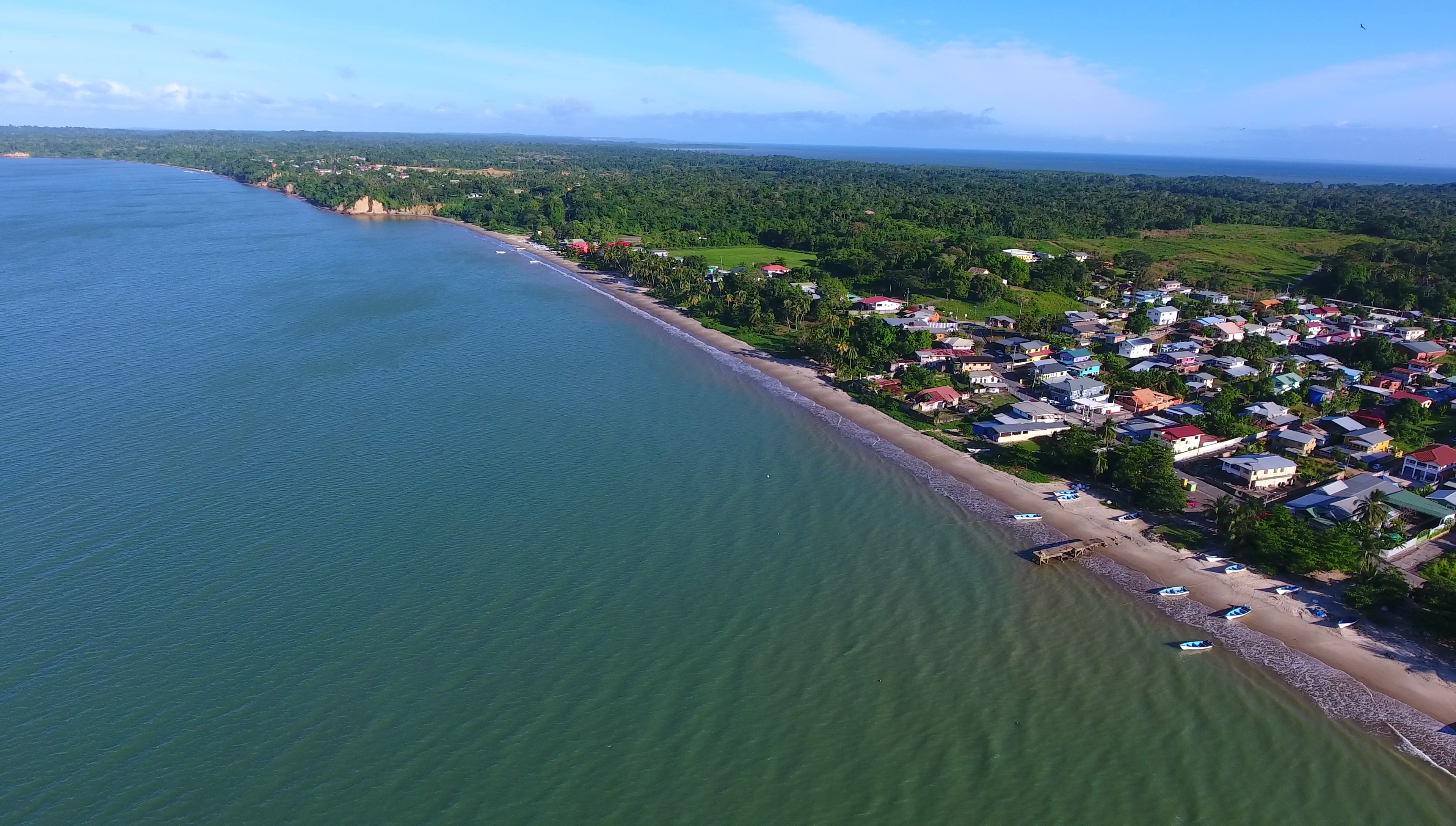
The Gulf of Paria is brackish. During the wet season, salinities drop below 23 parts per thousand as freshwater pours in from the Orinoco and Amazon river systems, carrying nutrients that drive the biological engine of the region. These fluvial discharges create upwelling currents along the continental shelf, feeding primary productivity that makes the Gulf the most important fishing ground for shrimp and finfish in Trinidad. Extensive mangroves line both the Venezuelan and Trinidadian coastlines, providing nursery habitat for marine life. Trinidad supports a more productive and diverse fish and invertebrate resource than most of the Eastern Caribbean islands, and the Gulf is the reason. In recent years, however, Venezuelan pirates have threatened fishermen operating in the region -- a modern echo of the piracy that plagued these waters centuries ago.
Oil Beneath the Mud
Below the Gulf's muddy bottom lies a geological story written in petroleum. The region sits within the broad strike-slip plate boundary zone of the southeastern Caribbean, where the Caribbean plate grinds past the South American plate. Prolific Upper Cretaceous source rocks generated the petroleum that fills the basins beneath Trinidad and the Gulf. The Gulf of Paria itself is the western offshore extension of the Caroni Basin, deformed by the interplay between the El Pilar and Warm Springs faults. Both oil and natural gas have been discovered here. The extraction has not been clean: between 2018 and April 2021, there were 498 reported oil spills on land and at sea in Trinidad and Tobago's waters, with no resulting prosecutions or fines. In 2021, another spill was discovered in the Gulf itself.
Harbor of Consequence
Geography made the Gulf of Paria consequential, and history has confirmed it. As one of the finest natural harbors on the Atlantic seaboard of the Americas, it has drawn shipping, military interest, and industrial development. Major ports dot its shores. During World War II, the United States established a military base at Chaguaramas -- a presence that became a source of political friction, with Trinidad's Eric Williams famously demanding: "Uncle Sam, we want back we land." The base was eventually returned. Today, the Gulf remains what it has always been: a contested, productive, ecologically vital body of water where two nations share a shallow sea that Columbus once thought was full of whales. The whales are gone. Everything else -- the fish, the oil, the geopolitics -- remains.
From the Air
The Gulf of Paria is centered at approximately 10.4N, 62.35W, a large semi-enclosed sea between Trinidad and eastern Venezuela. At 7,800 square kilometers, it is clearly visible from cruising altitude. The Dragons' Mouths passages to the north and Columbus Channel (Serpent's Mouth) to the south mark its connections to open water. Piarco International Airport (TTPP) in Trinidad is to the east; the Orinoco Delta is to the south. The Gulf is shallow (mostly under 30 m) with extensive mangrove coastlines on both sides.