Guna Yala
In February 1925, Guna warriors paddled canoes through the Caribbean darkness toward Panamanian police stations scattered across their island homeland. Within days, they had expelled the colonial police, declared the independent Republic of Tule, and forced a government that had spent years trying to erase their culture to the negotiating table instead. A century later, Guna Yala remains one of the most remarkable experiments in indigenous self-governance anywhere in the Americas -- a comarca where the Guna people set their own laws, elect their own leaders, and control who enters their territory of 365 islands strung along Panama's northeast Caribbean coast.
Land of the Guna
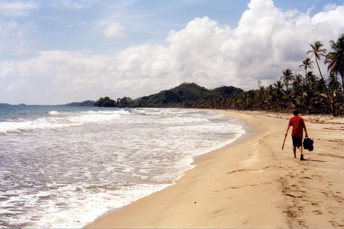
The name says it plainly: Guna Yala means "Land of the Guna" or "Guna Mountain" in their own language. Once called San Blas by the Spanish and later Kuna Yala by outsiders, the name was officially changed in October 2011 when Panama's government recognized that "Guna" more accurately represents how the people pronounce their own name. The comarca stretches along a narrow strip of Caribbean coastline for 373 kilometers, from the province of Colon east toward the Colombian border. Its 2,306 square kilometers encompass both mainland jungle and the scattered archipelago offshore. Of those 365 islands, only about 50 are inhabited, tiny coral outposts where palm-thatched homes crowd together on slivers of land barely above the waterline. Over 32,000 people live here, more than 95 percent of them indigenous Guna.
From Conquistadors to Revolution
This coastline has seen its share of European violence. The Spanish built the stronghold of Acla nearby, where the conquistador Vasco Nunez de Balboa -- the first European to sight the Pacific from the Americas -- was tried and beheaded by a rival. When the Spanish arrived in the 1600s, the Guna were living near the Gulf of Uraba in present-day Colombia, but violence drove them westward into the Darien region and eventually out onto the islands themselves by the mid-1800s. After Panama separated from Colombia in 1903, outsiders pushed into Guna territory seeking gold, rubber, sea turtles, and banana concessions. Colonial police tried to suppress Guna customs, banning traditional dress and ceremonies. On February 25, 1925, leaders Nele Kantule and Simral Colman launched the San Blas Rebellion. The toll was 27 dead before American diplomat John G. South brokered a peace agreement on March 4th that promised the Guna respect for their customs, protection of their rights, and removal of the police.
The Art of the Mola
Walk through any Guna community and you will see them -- brilliant panels of layered fabric in geometric patterns and stylized animal forms, stitched onto the blouses Guna women wear daily. These are molas, created through a technique of reverse applique in which multiple layers of cloth are cut away to reveal colors beneath. Before European contact, the Guna decorated their bodies with painted designs. When missionaries encouraged them to wear clothing, the women transferred those body-paint patterns onto fabric, transforming an imposed cultural change into something entirely their own. Today, mola production is the principal activity of Guna women and a major source of family income. The designs range from abstract geometries to depictions of sea creatures, birds, and scenes from daily island life. Each panel can take weeks to complete, and the finest examples are collected as textile art worldwide.
Islands Against the Tide
The greatest threat to Guna Yala now comes not from any government but from the ocean itself. Rising sea levels are predicted to submerge several islands by 2050, and in June 2024, Panama completed Latin America's first large-scale planned climate migration when roughly 300 families from the island of Gardi Sugdub relocated to a new mainland settlement called Isberyala. The Smithsonian Tropical Research Institute reports that sea levels near Gardi Sugdub are rising at 3.4 millimeters per year, more than double the rate recorded in the 1960s. The government spent $15 million on the project, building homes with yards for planting cassava and plantains, a school, paved roads, and a traditional meeting house. Yet the move is bittersweet -- over 200 years of Guna culture have centered on the sea, and roughly 100 people refused to leave, citing deep cultural attachment to their island home.
Governing on Their Own Terms
Guna Yala's governmental structure, codified in Law 16 of 1953, places the General Congress Guna as the supreme political authority. Representatives from all 51 communities gather twice a year, with votes cast by each community's sahila, or elected leader. The system is a rare example of indigenous governance operating within a modern nation-state -- the Guna set their own rules on tourism, land use, and cultural preservation while remaining citizens of Panama. Visitors need permits. Large hotel chains are forbidden. Most tourist facilities are small ecotourism operations, and the economy otherwise runs on subsistence agriculture, artisanal fishing, coconut trade, and the mola craft. It is a place that has fought for and won the right to change on its own terms, even as the sea threatens to rewrite the terms entirely.
From the Air
Located at 9.30N, 78.34W along Panama's northeast Caribbean coast. The archipelago of 365 islands is visible as a scattered chain of tiny green dots against turquoise shallows. Best viewed at 3,000-5,000 feet for individual island detail. The mainland coast rises sharply into jungle-covered mountains. Nearest airports: Playon Chico (MPCH), Achutupo (MPAT), and Corazon de Jesus (MPCJ) -- small airstrips serving inter-island flights. Panama City Tocumen (MPTO) is the nearest major airport, approximately 150 nm to the west.