Gwoza
The Mandara Mountains rise like a wall along the Nigeria-Cameroon border, their rocky ridges forming a natural barrier that has shaped human settlement for centuries. At their feet sits Gwoza, a town of nearly 400,000 people in Borno State where the local language -- also called Gwoza, or Kwaja -- carries the sounds of a community that long predates the modern nation surrounding it. From a distance, the town's most striking feature is its setting: granite hills and unique rock formations frame the skyline, while the Emir's Palace anchors the cultural center below. But Gwoza's recent history carries a weight that no landscape can conceal.
Where Mountains Meet the Sahel
Gwoza lies approximately 135 kilometers southeast of Maiduguri, the Borno State capital, pressed against the Cameroon border in one of Nigeria's most geographically dramatic settings. The Mandara Mountains are not gentle hills -- they are a rugged chain of volcanic peaks and granite ridges that stretch roughly 190 kilometers along the frontier, creating microclimates, hidden valleys, and defensive terrain that communities have used for centuries. The Gwoza Hills themselves offer panoramic views of the town and surrounding countryside, with rock formations sculpted by wind and time into shapes that invite both photography and speculation. Caves and rock shelters dot the hillsides, some carrying historical significance as refuges and ritual sites. Below the mountains, local markets sell traditional goods and handicrafts, and the Central Mosque stands in the heart of town, its architecture reflecting the Islamic traditions that have shaped the region alongside older indigenous practices.
The Year the Insurgents Came
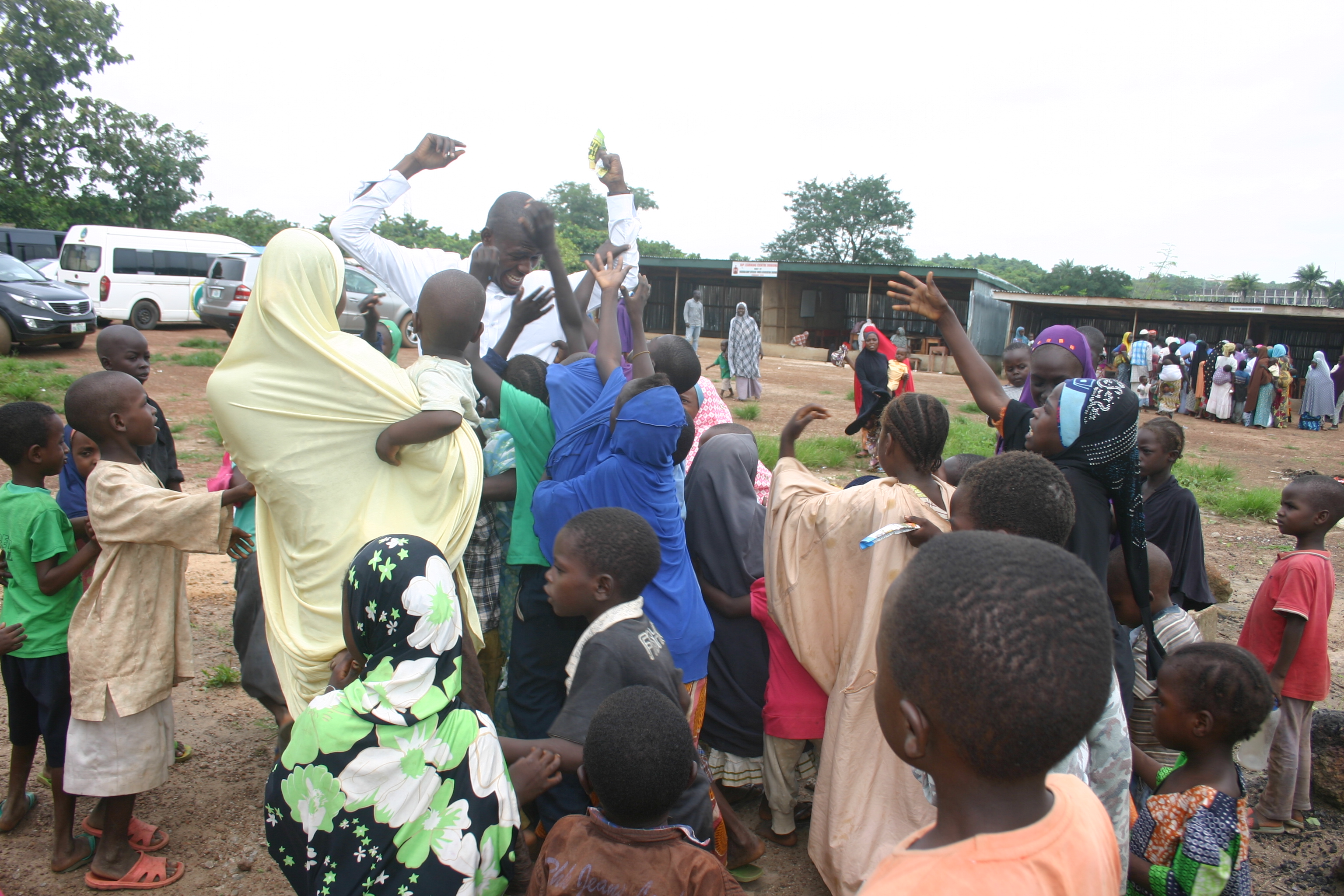
In 2014, Boko Haram -- the jihadist insurgency that had been tearing through northeastern Nigeria -- turned its attention to Gwoza. The militants attacked the town, killed the Emir of Gwoza and approximately 300 villagers, and seized control. From August 2014 to March 2015, Gwoza served as the insurgency's de facto capital, the seat of the so-called caliphate that Boko Haram leader Abubakar Shekau declared from the town's mosque. For seven months, residents lived under a brutal occupation or fled into the mountains and across the border into Cameroon. The Nigerian military eventually recaptured Gwoza in March 2015, but the town that soldiers found was devastated -- structures damaged, communities scattered, and the traditional leadership decapitated with the murder of the Emir.
Rebuilding in the Shadow of the Mountains
Recovery in Gwoza has been uneven and ongoing. Displaced families have gradually returned, but security concerns persist in a region where Boko Haram and its splinter factions continue to operate. The town's isolation -- limited road infrastructure, spotty mobile coverage, and distance from major cities -- has complicated reconstruction efforts. Residents rely on motorcycle and tricycle transport to move within the town, while buses and taxis connect Gwoza to Maiduguri and neighboring Adamawa State. Despite the challenges, community life persists. The Emir's Palace, residence of the traditional ruler, remains a center of local governance and culture. Traditional villages surrounding Gwoza preserve architectural styles and ways of life that predate the insurgency, the colonial era, and the modern state entirely.
A Landscape Worth Knowing
Security permitting, Gwoza's natural setting is extraordinary. Hiking in the Mandara Mountains reveals landscapes that few outsiders have seen -- valleys carved between volcanic ridges, birdlife adapted to the highland-lowland transition zone, and rock formations that reward exploration. The town sits at a cultural crossroads where Kanuri, Hausa, and dozens of smaller ethnic groups have traded and intermarried for generations, producing a local identity that resists easy categorization. Gwoza is not a place that invites casual tourism. It is a place that demands attention -- for the resilience of its people, for the weight of what they have endured, and for the stark beauty of a mountain landscape that has sheltered, endangered, and defined a community in equal measure.
From the Air
Located at 11.09N, 13.69E in Borno State, northeastern Nigeria, directly against the Cameroon border. The Mandara Mountains are clearly visible from altitude as a dramatic ridgeline running north-south along the border. Gwoza sits in a valley at the base of these mountains. Maiduguri Airport (DNMA) is the nearest major facility, approximately 135 km to the northwest. The terrain transitions sharply from flat Sahel plains to mountainous borderlands. Caution: this is a security-sensitive area with ongoing military operations.