Haeundae Beach
In 2008, someone counted the umbrellas on Haeundae Beach and arrived at a number that made the Guinness Book of World Records: 7,937. The image is almost absurd -- a beach so densely packed with parasols that the sand beneath them disappears entirely -- but it captures something essential about this place. Haeundae is not a beach for solitude. It is a beach for ten million people a season, for film festivals and polar bear plunges, for floating concert stages and StarCraft tournaments. It is the beach that defines Busan, and arguably South Korea.
From Fishing Grounds to Playground
Haeundae was originally a fishing area, not a leisure destination. Local fishermen worked the waters off this stretch of coast for centuries before the beach began its transformation in the late 1800s. During the Japanese colonial period from 1910 to 1945, Japanese settlers taught their children to swim here, and the beach began to acquire its recreational identity. The Korean War brought a different kind of visitor: the US military stationed troops on the sand and used the beach to prepare for landing ships. American soldiers also swam here during their off hours, which may have been the first time Haeundae saw anything resembling beach tourism in the modern sense. The beach officially opened in 1965 as the largest in the country. By 1994, it had been designated a special tourist area, and the construction of hotels, restaurants, and nightlife venues accelerated.
The Umbrella Kingdom
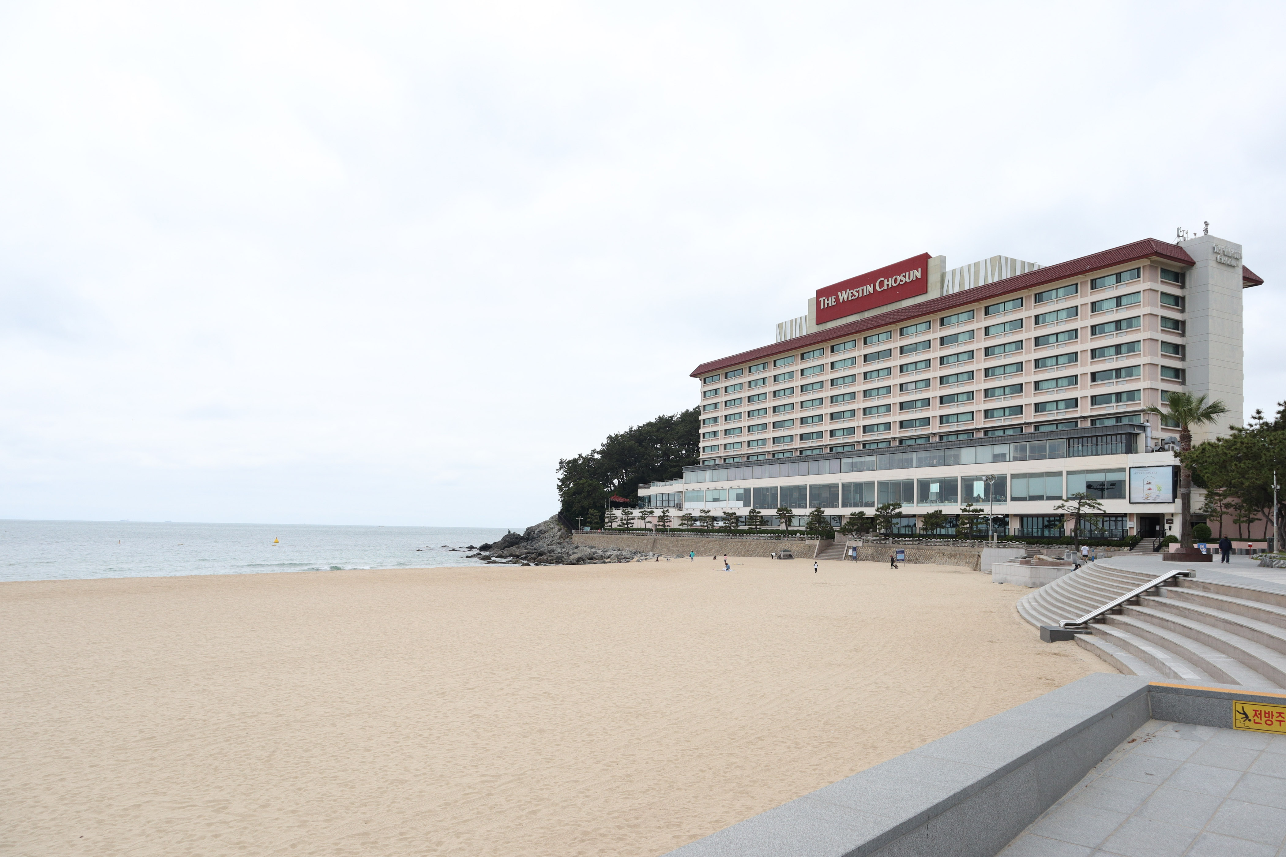
What makes Haeundae remarkable is not its natural beauty alone -- though the crescent of sand backed by the LCT Towers and other high-rises is visually striking -- but its capacity. The beach accommodates around 120,000 people at a time. During peak summer season, the density of bodies and umbrellas creates a spectacle that has to be seen to be believed. Beyond the sand, the surrounding Haeundae District offers Dalmaji-gil, a scenic coastal road; APEC Naru Park, built for the 2005 Asia-Pacific Economic Cooperation summit; Sea Life Busan Aquarium; and the five rocky islets of Oryukdo visible offshore. The beach is not just a beach but the anchor of an entire entertainment ecosystem.
Festivals on the Sand
Haeundae's calendar is relentless. The Busan International Film Festival has transformed the beach and its surroundings every October since 1996, drawing filmmakers, stars, and audiences from across Asia for screenings, premieres, and public events. The beach appeared in the 2009 disaster film Tidal Wave, which imagined a mega-tsunami destroying the very spot where audiences sat watching. In January, the Polar Bear Festival sends several thousand swimmers into near-freezing water, a tradition running since 1988. The Haeundae Sand Festival is Korea's only sand-themed eco-festival, featuring sculpture competitions and interactive art made from the beach itself. E-sports tournaments and concerts with floating stages round out a venue that treats sand as infrastructure.
The Disappearing Shore
Beneath the festivals and the umbrellas, Haeundae faces a quieter crisis. The sandy area of the beach decreased by 54 percent between 1947 and 2004 due to coastal erosion. The causes are familiar: development, changing wave patterns, and the cumulative effects of millions of feet on diminishing sand. The local government has fought back with underwater breakwaters designed to slow erosion and an annual program of sand replenishment, trucking in material to replace what the sea takes away. It is a race that coastal cities around the world are running, and Haeundae runs it with particular urgency because the beach is not just a natural feature but the economic engine of an entire district. Lose the sand and you lose the film festival, the hotels, the 7,937 umbrellas. The ocean, of course, does not negotiate.
From the Air
Coordinates: 35.16°N, 129.16°E in eastern Busan. The crescent-shaped beach is clearly visible from the air, flanked by high-rise development to the north and the rocky promontory of Dongbaek Island to the south. Nearest airport: RKPK (Gimhae International Airport, ~25 km west). The LCT Towers landmark complex is visible from altitude. Oryukdo islands lie to the southeast. Best viewed at 2,000-4,000 ft to appreciate the beach's curve and its relationship to the dense urban backdrop.