Hai River
Five rivers become one. The Ziya, the Northern Canal, the Southern Canal, the Daqing, and the Yongding all converge in Tianjin to form the Hai River, which then flows 70 kilometers to empty into the Bohai Sea. Measured from its longest tributary, the system stretches 1,329 kilometers and drains a basin of approximately 319,000 square kilometers covering most of Hebei, Beijing, and Tianjin, along with parts of Inner Mongolia, Shanxi, Henan, and Shandong. It is the only waterway connecting the sea to the center of Beijing, a geographic fact that has made it one of the most strategically important rivers in Chinese history.
What the Grand Canal Built
The Hai River as it exists today is, in a sense, an artificial creation. Before the Grand Canal was constructed, the Wei, Ziya, Yongding, and Bai rivers flowed independently into the sea along separate courses. The Grand Canal cut through the lower reaches of all of them, fusing their outlets into a single estuary and creating the modern Hai River. The Northern Canal, which forms the northern terminus of the Beijing-Hangzhou Grand Canal system, connects with the Chaobai River at Tongzhou. The Southern Canal draws from the Wei River at Linqing. Through these connections, the Hai River links to both the Yellow and Yangtze river systems, making it a node in the largest engineered waterway network in human history. The river's very name is relatively recent: it first appeared at the end of the Ming Dynasty. During the Song Dynasty it was called the Border River; under the Jin and Yuan, it was the Straight Gu River and then the Great Gu River.
Battlefield at the Estuary
The Hai River's strategic position made it a focal point for conflict whenever foreign powers sought access to Beijing. On May 20, 1858, Anglo-French forces attacked the Taku Forts at the river's mouth during the Second Opium War, capturing them and forcing the Treaties of Tianjin that opened the city to foreign trade. In 1863, seagoing ships could still navigate upriver to Tongzhou, though the river's crooked course made it difficult for large vessels. Then came the Boxer Rebellion. On June 15, 1900, Imperial Chinese forces deployed electric mines in the river to prevent Eight-Nation Alliance warships from advancing upstream. The allied navies attacked anyway, capturing the forts again in a bloody overnight assault that helped trigger the siege of the foreign legations in Beijing.
Mud, Floods, and Two Capitals
Like the Yellow River, the Hai is exceedingly muddy. The powdery soil of the North China Plain dissolves into the current and deposits in the lower reaches, sometimes raising the riverbed above the surrounding landscape and creating conditions for catastrophic flooding. The problem is compounded by geography: five major tributaries converge into a single shallow outlet. When heavy rains come, there is only one way out, and it is often not enough. Because both Beijing, China's capital and second-largest city, and Tianjin, its third-largest, sit within the Hai River basin, the consequences of flooding have always been severe. Reservoirs have been built and artificial channels dug to divert excess water directly to the sea. The Chaobai River has been permanently rerouted into the Chaobai Xin River, severing its ancient connection with the Northern Canal.
A River Running Dry
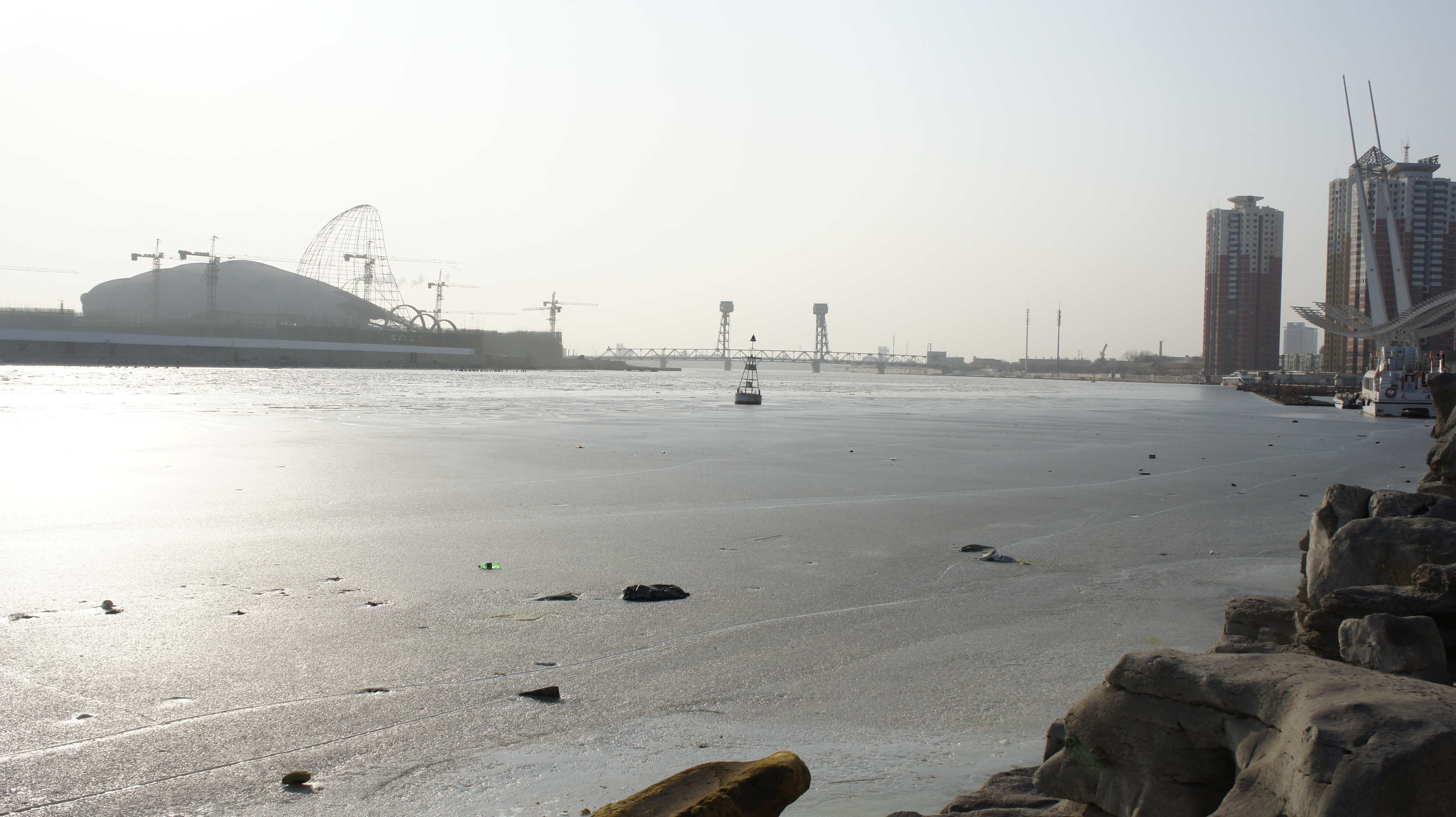
The modern threat to the Hai River is not excess water but its absence. Industrial and urban development across the basin has dramatically reduced water flow. Many smaller tributaries are dry for most of the year, and even some major tributaries have dwindled to intermittent streams. As the volume of water drops, pollution concentrates. The river that once carried imperial grain shipments and gunboat flotillas now struggles to sustain the basic ecological functions of a living waterway. The South-North Water Transfer Project, one of the most ambitious hydraulic engineering schemes in history, aims to divert water from the Yangtze basin to alleviate the crisis. Whether it will be enough to restore the Hai to something resembling its former self remains an open question.
From the Air
The Hai River estuary is at approximately 38.95N, 117.72E, emptying into the Bohai Sea in the Binhai New Area of Tianjin. The river is a prominent water feature visible from altitude as it winds through Tianjin's urban center before reaching the coast. Tianjin Binhai International Airport (ZBTJ) lies near the estuary. The Taku Forts are visible on both banks near the river mouth. Best viewed at 5,000-10,000 feet for the full river course through the city.