Haida Gwaii
Off the coast of northern British Columbia, separated from the mainland by Hecate Strait, lies an archipelago that time forgot. Haida Gwaii - formerly the Queen Charlotte Islands - is home to the Haida people, whose culture flourished here for at least 13,000 years. The islands harbor unique species found nowhere else, earning comparison to the Galapagos. Ancient Haida villages, abandoned after smallpox devastated the population in the 1860s, contain some of the finest surviving totem poles on Earth. SGang Gwaay (Ninstints) is a UNESCO World Heritage Site, its weathered poles standing where they were raised over a century ago. Reaching Haida Gwaii requires effort - flights or ferries to remote communities - but the islands reward those who come with wilderness, culture, and profound isolation.
The Land
Haida Gwaii consists of over 150 islands, dominated by Graham Island (north) and Moresby Island (south). The islands sit on the western edge of the continental shelf, exposed to Pacific storms that bring over 200 inches of rain annually in some areas. The temperate rainforest is dense - Sitka spruce, western red cedar, and hemlock draped with moss. The isolation has produced endemic species: the Haida Gwaii black bear (larger than mainland bears), the Queen Charlotte subspecies of several birds, and unique plant communities. The coastline is spectacular - rocky shores, sea stacks, and beaches accessible only by boat. The southern islands are protected as Gwaii Haanas National Park Reserve and Haida Heritage Site.
The Haida
The Haida people have lived on these islands for at least 13,000 years, developing one of the most sophisticated cultures on the Pacific Northwest coast. They were master carvers - their totem poles, longhouses, and canoes were renowned. They were also fierce warriors and traders, their influence extending far down the coast. Haida society was organized into clans with complex social structures, potlatch ceremonies, and oral traditions. European contact brought trade goods, then smallpox. The population collapsed from an estimated 10,000+ to fewer than 600 by 1900. Villages were abandoned; survivors consolidated. The Haida nation has revived, but the abandoned villages remain as monuments to what was lost.
SGang Gwaay
SGang Gwaay (Ninstints) is a former Haida village on Anthony Island at the southern tip of Haida Gwaii. The village was abandoned in the 1880s after smallpox; its inhabitants never returned. What remains is extraordinary: rows of totem poles still standing where they were raised, mortuary poles containing the remains of chiefs, and the remnants of longhouses. The site is a UNESCO World Heritage Site, recognized for its cultural significance. Accessing SGang Gwaay requires a boat trip through Gwaii Haanas National Park Reserve and permission from the Haida Nation. Haida Watchmen camp at the site during summer, welcoming visitors and sharing their culture. The experience is profound - standing among ancestors.
Gwaii Haanas
Gwaii Haanas National Park Reserve and Haida Heritage Site protects the southern portion of Haida Gwaii - 138 islands, 1,470 kilometers of coastline, and waters teeming with marine life. The park is co-managed by Parks Canada and the Haida Nation, a groundbreaking arrangement that recognizes Haida sovereignty. Access is by boat or floatplane only; no roads enter the park. All visitors must attend an orientation and obtain reservations. The park contains multiple abandoned Haida village sites, hot springs, and some of the most pristine temperate rainforest remaining. Wildlife includes black bears, Steller sea lions, orcas, and countless seabirds. The isolation is the point - this is wilderness protected by remoteness.
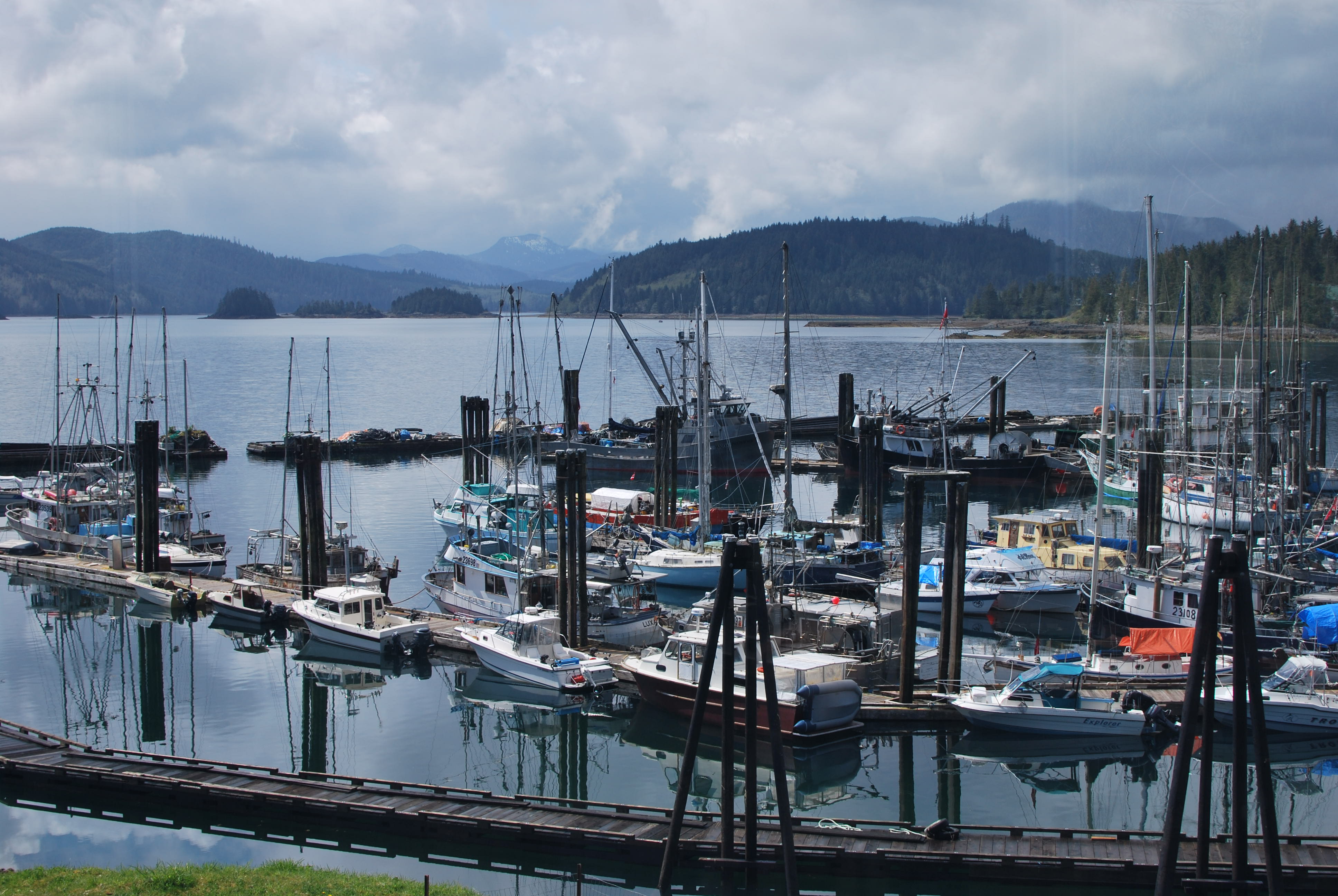
Visiting Haida Gwaii
Haida Gwaii is accessible by BC Ferries from Prince Rupert (7-hour crossing) or by air to Sandspit or Masset airports. The main communities are Queen Charlotte City (Graham Island) and Sandspit (Moresby Island). Haida Heritage Centre at Kaay Llnagaay provides cultural context with exhibits, totem poles, and canoe-making demonstrations. Accessing Gwaii Haanas requires reservations, orientation, and independent boat or floatplane transport. Tour operators offer guided trips to the park and SGang Gwaay. Accommodations are limited; book ahead in summer. Weather is variable - rain gear is essential. Vancouver International Airport connects to Sandspit; Prince Rupert has BC Ferries service from Port Hardy. The journey is part of the experience.
From the Air
Located at 53.00°N, 132.00°W off the coast of northern British Columbia. From altitude, Haida Gwaii appears as a heavily forested archipelago separated from the mainland by Hecate Strait. Graham Island (north) and Moresby Island (south) dominate. The coastline is deeply indented with inlets, bays, and islands. Gwaii Haanas occupies the southern islands. The town of Queen Charlotte City is visible on Graham Island's east coast. Prince Rupert, on the mainland, is the nearest significant settlement. The isolation is apparent - the islands sit alone in the ocean, separated from everything, a world unto themselves.