Kluane: Canada's Secret Everest Training Ground
Canada's highest mountain is invisible. Mount Logan rises 19,551 feet in the Saint Elias Range - the second-highest peak in North America after Denali - but you can't see it from any road in Canada. It hides behind a wall of lesser peaks, protected by 8,500 square miles of ice field that makes Greenland look accessible. Kluane National Park contains this frozen fortress: the largest non-polar ice field on Earth, peaks that rival the Himalayas, and glaciers that dwarf anything in the Alps. Mountaineers training for Everest come here to practice extreme altitude and cold. Most visitors never penetrate beyond the green foothills; the ice field interior remains one of the last blank spaces on the North American map.
The Hidden Giant
Mount Logan was named for Sir William Edmond Logan, founder of the Geological Survey of Canada, in 1890. No European climbed it until 1925 - the approach was simply too difficult. The mountain rises from an ice field base at 8,000 feet, making the actual climb less dramatic than its total height suggests, but the summit plateau is five miles wide and covered in permanent snow. The mountain is still growing: tectonic uplift adds a few millimeters annually. Its massive base makes it the largest mountain by circumference in the world. And still, you can't see it without hiking deep into the park or flying over the ice field.
The Ice Field
The Saint Elias Ice Field covers 8,500 square miles - larger than some countries. It's the largest non-polar ice field on Earth, a remnant of the Pleistocene ice ages that survives because moisture from the Gulf of Alaska dumps enormous snowfall on the mountains. Glaciers flow from the ice field in every direction: the Hubbard, Kaskawulsh, Lowell, and dozens more. Some reach sea level; others terminate in valleys. The Lowell Glacier periodically blocks the Alsek River, creating a temporary lake that catastrophically floods when the ice dam breaks. The ice field is largely unexplored; most of its interior has been seen only from aircraft.
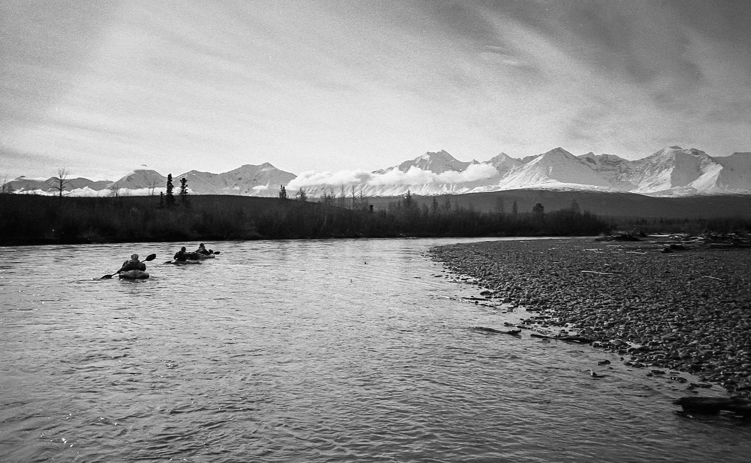
The Mountaineering
Kluane is a training ground for the world's most ambitious climbers. The combination of extreme cold, high altitude, remote location, and unpredictable weather makes the Saint Elias Range comparable to the Himalayas. Climbers heading for Everest come here to test their systems and acclimatize. Mount Logan expeditions typically take two to three weeks and require ski-equipped aircraft to reach base camp on the ice field. The success rate is modest; the mountain claims lives regularly. But for those who reach the summit plateau, the view is of peaks and ice extending to every horizon - a white world interrupted only by rock.
The Accessible Park
Most visitors experience only Kluane's green fringe - the forested valleys along the Alaska Highway where trails penetrate the front ranges. This is spectacular country in its own right: grizzly bears, Dall sheep, alpine meadows, and views of glaciers descending from peaks above. The Slims West trail offers views of the Kaskawulsh Glacier; the King's Throne route climbs to alpine viewpoints. Kathleen Lake provides accessible recreation. But the real Kluane - the ice field, the high peaks, the frozen interior - remains beyond reach for all but the most committed. A flightseeing tour from Haines Junction is the only way most visitors will ever see it.
Visiting Kluane National Park
Kluane National Park is located in southwestern Yukon, accessible via the Alaska Highway from Whitehorse (150 km east) or Haines, Alaska (250 km south). The park visitor center is in Haines Junction, which has basic services including fuel, food, and lodging. Day hikes are available from several trailheads along the highway; backcountry camping requires registration. Flightseeing tours offer the only practical access to the ice field interior - several operators in Haines Junction provide glacier landings and Mount Logan overflights. The park is open year-round, but most services operate May through September. Summer brings midnight sun and mosquitoes; fall offers color and fewer bugs. The ice field remains cold year-round.
From the Air
Located at 60.75°N, 137.51°W in southwestern Yukon. From altitude, Kluane National Park displays its true scale: the Saint Elias Ice Field dominates the interior as a vast white expanse interrupted by nunataks (peaks protruding through the ice). Mount Logan is visible as the highest point in a sea of high peaks. Glaciers flow from the ice field like frozen rivers. The green foothills along the Alaska Highway contrast sharply with the ice field interior. Haines Junction is visible as a small settlement at the park's edge. This is one of the largest protected wilderness areas in the world, visible from altitude as the white fortress it is.