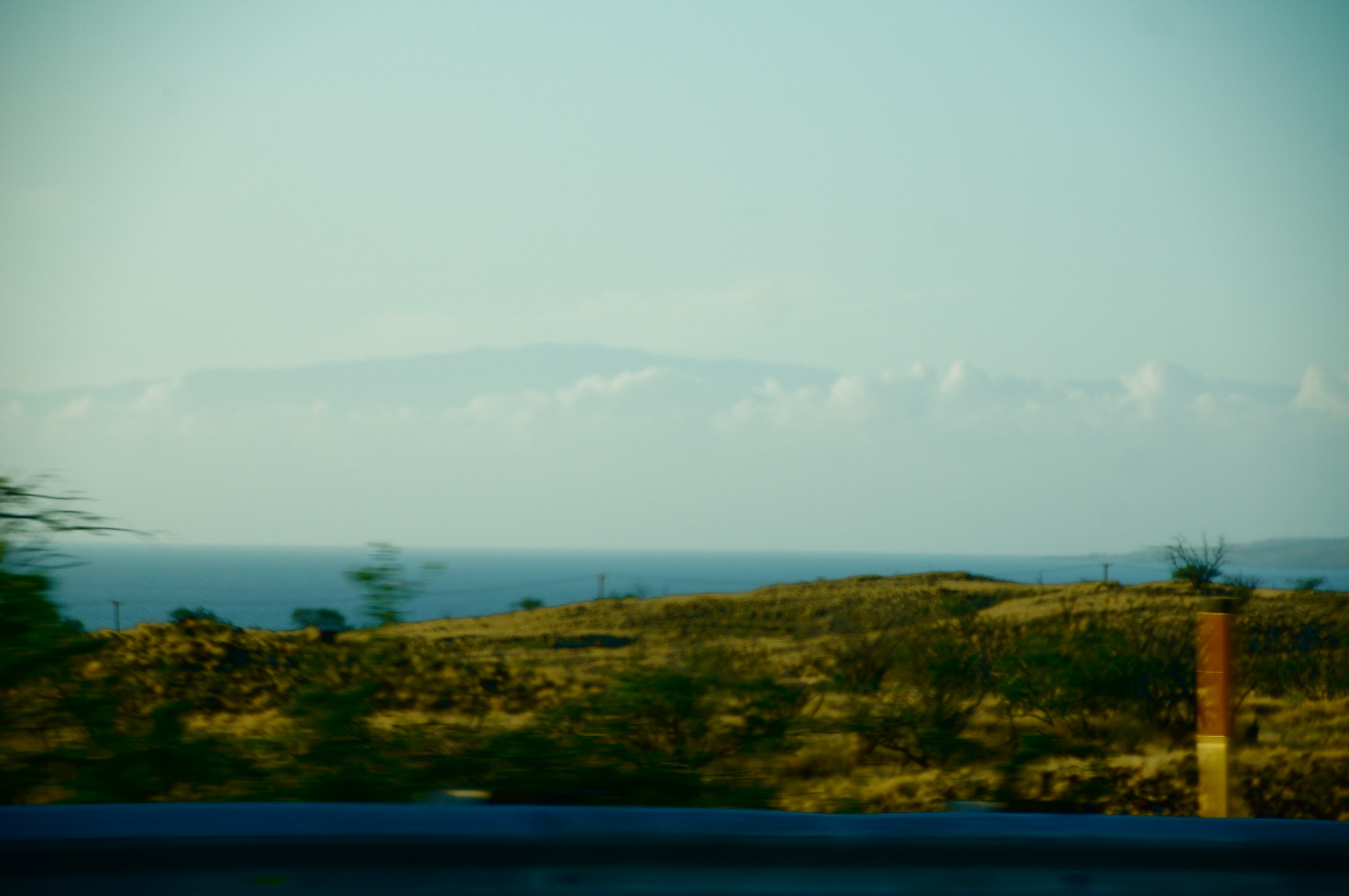
Haleakala
In Hawaiian legend, the demigod Maui climbed to the summit of this volcano, hid behind a wiliwili tree, and snared the sun's rays with ropes braided by his grandmother. He beat the sun until it agreed to slow its arc across the sky, giving the island longer days to grow food and dry tapa cloth. The Hawaiians named the mountain Haleakala, "house of the sun," and that name has outlasted empires, kingdoms, and every other language spoken on the island. At 10,023 feet, the summit still earns it. Sunrise here is not a gradual event but a sudden eruption of color that floods a depression seven miles across and 2,600 feet deep, turning cinder cones into islands of rust and gold floating in a sea of cloud.
A Crater That Isn't
The massive depression at Haleakala's summit looks like a volcanic crater, and most visitors call it one, but geologists know better. Two river valleys carved into the mountain's flanks over hundreds of thousands of years, their headwalls eroding backward until they merged at the summit to create a single enormous basin. The gaps they left behind still have names: Koolau on the north side, Kaupo on the south. After the erosion opened the mountain, volcanic activity filled parts of the basin floor with fresh cinder cones, some rising several hundred feet, each stained a different shade by its mineral composition. The effect is otherworldly, a barren moonscape scattered with colorful volcanic mounds, ringed by steep walls and cut by two dramatic openings to the sea. Haleakala began forming two million years ago and has produced at least ten eruptions in the past thousand years. Radiocarbon dating places the most recent lava flow between 1480 and 1600 AD, making this a dormant volcano rather than an extinct one.
Silverswords and Weaponized Mosquitoes
Haleakala shelters species found nowhere else on Earth, and it is losing them fast. The Haleakala silversword, a spectacular plant that produces a single stalk of flowers after decades of growth and then dies, once blanketed the upper slopes so thickly the mountain shimmered silver. Feral goats and souvenir-hunting visitors nearly wiped it out; the National Park Service now protects surviving populations behind fences. The kiwikiu, a critically endangered honeycreeper found only on East Maui, has lost more than 70 percent of its population in the 21st century, primarily to avian malaria carried by invasive mosquitoes. The response has been radical: since 2024, conservation workers have released roughly 250,000 male mosquitoes per week on the mountain, each carrying Wolbachia bacteria. When these males mate with wild females, the resulting eggs never hatch. By June 2024, ten million modified mosquitoes had been deployed across Haleakala in one of the most ambitious insect-control programs ever attempted for bird conservation.
Science City Above the Clouds
Above the tropical inversion layer, where the atmosphere thins to 71 kilopascals and the nearest city lights are an ocean away, Haleakala's summit offers some of the clearest, driest, stillest air available to ground-based astronomy. The cluster of domes and instruments at the summit, known informally as Science City, is operated by an unlikely consortium: the U.S. Department of Defense, the University of Hawaii, the Smithsonian Institution, the Air Force, and the Federal Aviation Administration. Not all the telescopes point at stars. Some track spacecraft, monitor satellites, and test laser technology for defense contractors based at the Maui Research and Technology Park in Kihei, down on the coast. The Pan-STARRS telescope, installed in 2006, scans the sky for near-Earth objects that might threaten the planet. As Maui's population grows, astronomers worry about creeping light pollution, but for now the summit remains one of the premier observing platforms on Earth, second in Hawaii only to Mauna Kea.
The Road to the Top
Haleakala Highway, completed in 1935, climbs from sea level to over 10,000 feet through a dizzying succession of switchbacks and blind turns. Cattle sometimes wander into the road. The temperature drops roughly three degrees Fahrenheit for every thousand feet of elevation gain, and visitors who arrive in shorts and sandals from the beach often find themselves shivering through a 40-degree dawn at the summit. The National Park Service, which manages the 30,183-acre park surrounding the crater, now requires advance reservations for sunrise viewing between 3:00 and 7:00 AM. Two main trails descend from the rim into the depression: Sliding Sands, which drops steeply through loose volcanic cinders, and Halemau'u, which switchbacks down the crater wall. Both lead to simple cabins on the crater floor, but there is no food or gas anywhere in the park. The descent is deceptively easy. The return climb, at elevation and through thin air, has surprised more than a few hikers who underestimated 2,000 feet of ascent on tired legs.
From the Air
Located at 20.72N, 156.25W on the island of Maui. The summit depression is unmistakable from the air, a vast reddish-brown basin with scattered cinder cones on its floor. Two gaps in the rim (Koolau to the north, Kaupo to the south) are clearly visible. Observatory domes cluster at the summit. Nearest airport: Kahului Airport (PHOG, approximately 28 miles northwest). Best viewed at 12,000-15,000 feet MSL for the full crater panorama. Expect orographic clouds building on the windward side, especially in the afternoon.