Haleakala National Park
According to Hawaiian legend, the demigod Maui stood at this summit and lassoed the sun, forcing it to slow its passage across the sky so that his mother's kapa cloth would have time to dry. The name stuck: Haleakala means "house of the sun." Whether or not you believe in demigods, standing at the 10,023-foot summit at dawn lends the story credibility. The sun does not simply rise here. It detonates. Color floods a crater nearly seven miles across and 2,600 feet deep, painting cinder cones in shades of rust, ochre, and burnt sienna while clouds pour through the gap in the rim like slow-motion waterfalls. It is one of the most spectacular sunrises on Earth, and Maui's ancient Hawaiians clearly knew it.
An Erosional Deception
Despite its name, Haleakala Crater is not technically a crater at all. It is an erosional valley, carved by water and wind over millennia rather than blasted out by a single volcanic event. The distinction matters to geologists but does little to diminish the visual impact. The depression stretches 6.99 miles across and 2 miles wide, its floor studded with cinder cones that rise hundreds of feet, each a different shade depending on its mineral composition. Two trails descend from the rim: the Halemau'u and Sliding Sands, both designated National Recreation Trails. Hikers who venture into the crater can stay overnight in one of three rustic cabins, waking to a silence so complete it becomes its own kind of sound. The volcano last erupted sometime between 1480 and 1600 AD, making it dormant rather than extinct, a geological hair-split that adds an edge of uncertainty to every visit.
The Richest Place on Earth for Tardigrades
Haleakala National Park holds a distinction no other U.S. national park can claim: more endangered species live within its 33,265 acres than in any other park in the system. The ahinahina, or Haleakala silversword, once covered the upper slopes so thickly the mountain appeared dusted with snow. Feral goats, deer, and pigs have devastated native vegetation, and the silversword is now carefully protected. In the 1980s, biologist Sam Gon III discovered 31 species of tardigrades, the microscopic water bears famous for surviving extreme environments, in the park's summit region. He described Haleakala as the "richest place on Earth for tardigrades." The park also shelters three endemic Hawaiian honeycreepers found only on east Maui, including the critically endangered kiwikiu, with roughly 200 individuals remaining. In a small irony of conservation history, the nene, Hawaii's state bird, died out entirely within the park and was reintroduced in 1962 with help from Boy Scouts who carried young birds into the crater in their backpacks.
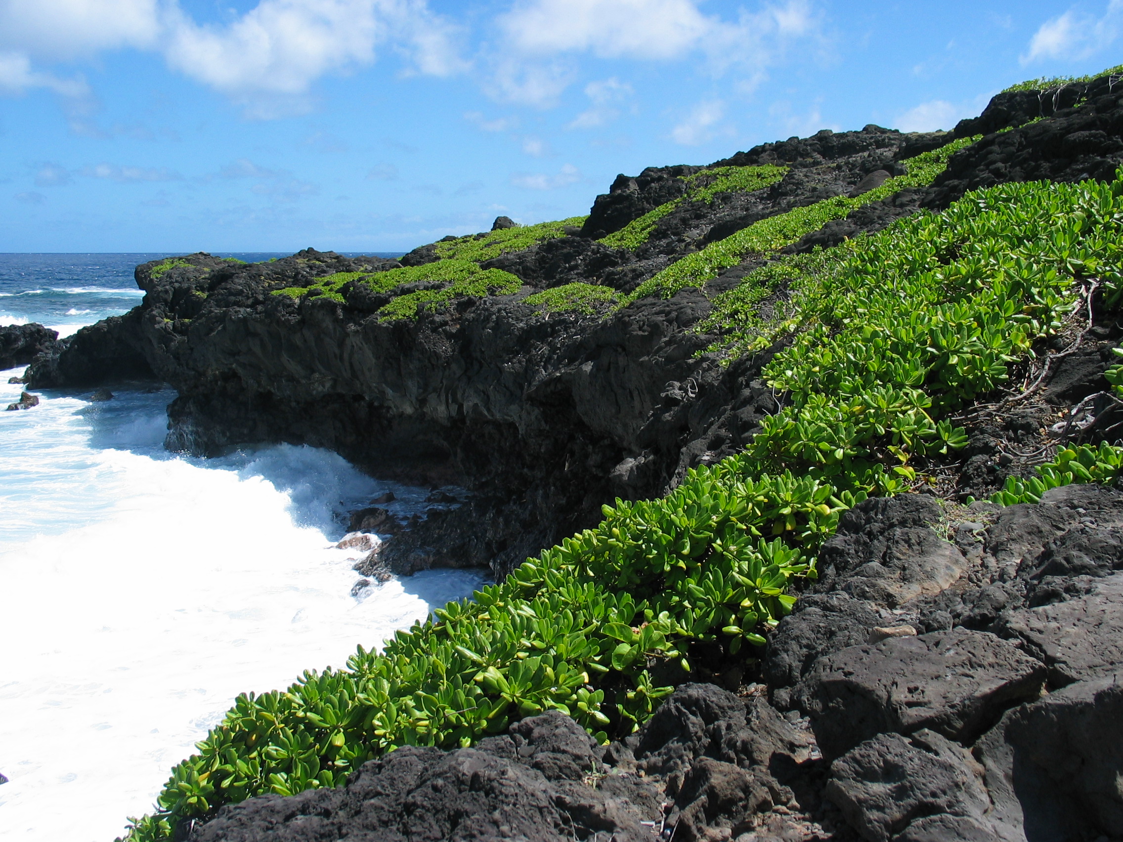
Two Parks in One
Haleakala is really two parks separated by a valley you cannot drive through. The summit area, reached by a winding road that climbs through climate zones from tropical to alpine, is the park most visitors know. At its base sits Hosmer's Grove, a peculiar forest planted in the early 1900s with trees from around the world: deodar cedar from the Himalayas, sugi from Japan, eucalyptus from Australia, and pines from North America. The experiment was meant to test which species could thrive at elevation. The foreign trees grew so tall they now shade out the native Hawaiian plants struggling beneath them. The second section, Kipahulu, lies on the windward coast, accessible only via the famously serpentine Hana Highway. Kipahulu Valley Biological Reserve is closed to the public entirely, protecting a fragile rainforest ecosystem. Below it, more than two dozen pools along Palikea Stream descend through a rocky gulch to the sea, containing rare native freshwater fish and offering some of Maui's most memorable swimming.
Stars and Satellites
Above the tropical inversion layer, Haleakala's summit offers some of the clearest skies in the United States. The Haleakala Observatory, managed for over 40 years by the University of Hawaii's Institute for Astronomy, sits just outside the park boundary on a gated road past the summit. Among its missions, the Maui Space Surveillance System tracks satellites and orbital debris. For visitors without security clearance, the naked-eye astronomy is extraordinary enough. On a clear night, the Milky Way arcs overhead with a brightness and detail that most mainland Americans have never seen. The park itself was originally part of Hawaii National Park, created in 1916. It was split off as its own park in 1961, and designated an International Biosphere Reserve in 1980. The climate within the park ranges from tropical rainforest at its lowest elevations near the ocean to true alpine conditions at the summit, a vertical journey through nearly every climate zone on Earth compressed into a single mountain.
From the Air
Located at 20.72N, 156.16W on the island of Maui. The massive crater is unmistakable from the air, appearing as a vast reddish-brown depression on the eastern end of the island. Cinder cones within the crater are visible even from cruising altitude. The Kipahulu section is on the windward (eastern) coast. Observatory structures are visible at the summit. Nearest airports: Kahului Airport (PHOG, approximately 25 miles northwest) and Hana Airport (PHHN, east side). Best viewed at 12,000-15,000 feet MSL for summit overview, or 3,000-5,000 feet AGL for the Kipahulu coast. Expect clouds building on the windward side.