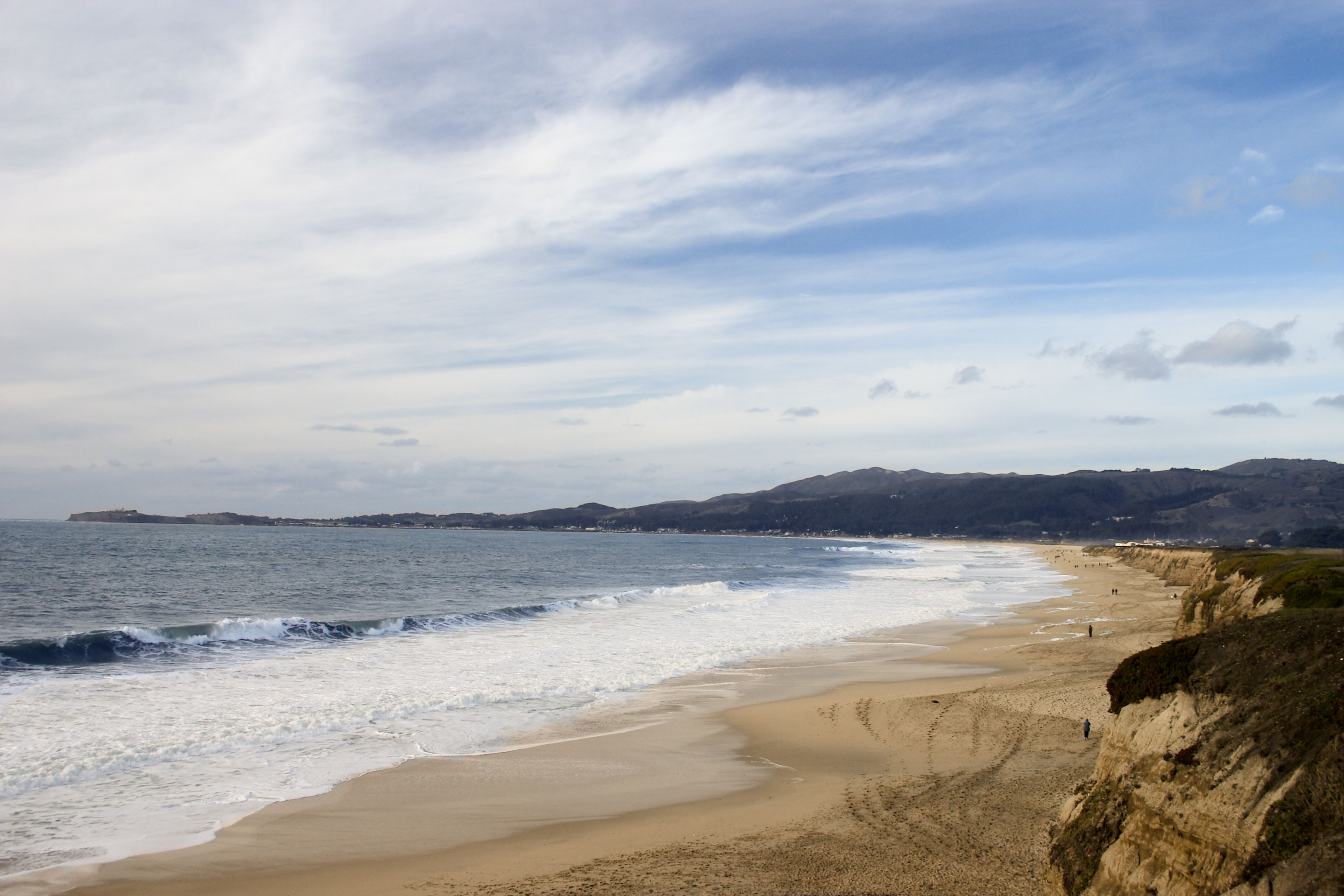
Half Moon Bay State Beach
During the 1920s, rum ships cruised offshore in the darkness while men on Francis Beach hauled crates of illegal liquor from small boats, loaded them into waiting vehicles, and sent them north to San Francisco. The gentle slope of the sand, the sheltering curve of the bay, the remoteness from law enforcement -- Half Moon Bay's geography was perfect for bootlegging. A century later, that same geography makes these four miles of protected beaches one of the most layered stretches of California coastline, where Ohlone history, Spanish exploration, Prohibition crime, and world-class surfing all occupy the same arc of sand.
The Ohlone Coast and the Portola Expedition
The Ohlone people lived along the San Mateo County coast for thousands of years, sustaining themselves in small, scattered villages suited to the coast's limited food resources. Their relationship with this shoreline was ancient and intimate. When the first Europeans arrived in the late eighteenth century, that world changed rapidly. The Spanish Portola expedition passed through in October 1769, camping near the shore on October 28-29 at either Frenchman Creek or Pilarcitos Creek. Franciscan missionary Juan Crespi described nearby Pillar Point in his diary, noting geese so abundant the soldiers named the area "Los Ansares." With the founding of Mission San Francisco de Asis in 1776, the coast became grazing land for mission livestock. After secularization in 1834, the land was divided into ranchos: Rancho Miramontes south of Pilarcitos Creek, granted in 1841, and Rancho Corral de Tierra to the north, granted in 1839.
From Halfmoon to Half Moon Bay
American settlers arrived in the 1850s and renamed the Mexican settlement of Spanishtown after the bay's crescent shape, calling it "Halfmoon." The local post office adopted the name in 1867, and the spelling was separated to "Half Moon Bay" in 1905. Agriculture developed around the turn of the twentieth century -- Brussels sprouts, artichokes, mushrooms, and dairy -- and the Ocean Shore Railroad connected the town to San Francisco by 1908. The railroad made the coast accessible but could not overcome its own financial troubles, and the bootleggers who followed found a coast still remote enough for their purposes. During World War II, the military replaced the rum runners; an Army post was established at the beach to guard against Japanese invasion, with bunkers and long-range cannons built further north along the coastline.
Mavericks and the Living Shore
Offshore of Pillar Point, at the northern end of the bay, lies Mavericks, one of the most famous big-wave surfing locations in the world. Following major Pacific storms, waves there can exceed 60 feet, drawing elite surfers from around the globe. The harbor jetty at Pillar Point also creates unusual wave reflections that make the beaches popular with everyday surfers. On shore, the state beach provides critical habitat for the western snowy plover, a small shorebird listed as threatened under the Endangered Species Act. The marine environment teems with flatfish, rockfish, lingcod, and Pacific herring, while California sea lions, harbor seals, gray whales, humpback whales, and blue whales patrol the deeper waters. From Roosevelt Beach in the north to Francis Beach in the south, this 181-acre park, established in 1956, encompasses four named beaches that together form one of the San Francisco Peninsula's great natural assets.
From the Air
Located at 37.47°N, 122.45°W along the crescent-shaped Half Moon Bay. The four beaches (Roosevelt, Dunes, Venice, Francis) are visible as a continuous sandy arc south of Pillar Point Harbor. Half Moon Bay Airport (KHAF) is adjacent to the north end of the beach. San Francisco International (KSFO) is approximately 17 nm north. Pillar Point and the Mavericks surf break are visible at the bay's northern headland. Best viewed at 1,500-3,000 ft AGL.