Hamilton
Marcus Daly built Hamilton as an act of revenge. The copper king had wanted to establish business in Grantsdale, the existing county seat, but was rebuffed. So he founded his own town instead, naming it for the man who provided the railroad right-of-way and developing it from his personal fortune. The pettiness of the origin story belies what Hamilton has become - a small city of 5,000 at the heart of the Bitterroot Valley, where the river that gives the region its name flows between the Sapphire and Bitterroot Ranges, and where farms, ranches, and orchards have worked the land since settlers followed the Nez Perce trail into this mountain-walled corridor.
Copper King's Legacy
Marcus Daly was one of the Copper Kings who dominated Montana's late nineteenth-century economy, his Anaconda mine producing wealth that shaped the state's development. When he turned his attention to the Bitterroot Valley, he brought resources that could build a town quickly - railroad connections, commercial buildings, infrastructure that established Hamilton as a going concern almost overnight.
The town became the county seat of Ravalli County, displacing the Grantsdale that had rejected Daly. The bitter origins are history now, but the legacy persists in Hamilton's relative size and significance within the valley. At just under 5,000 residents, it serves as the commercial center for the surrounding agricultural community, its downtown providing services that the smaller valley towns lack. The copper money is long gone, but the town it built remains.
The Bitterroot Valley
The valley runs roughly north-south, the Bitterroot River fed by tributaries draining both the Sapphire Range to the east and the Bitterroot Range to the west. US-93 follows the river from Missoula, fifty miles north, to Lost Trail Pass, where the highway crosses into Idaho. Hamilton sits near the valley's midpoint, surrounded by the farms and ranches that have defined the local economy since settlement.
Orchards climb the benchlands above the valley floor, the apple production that once dominated giving way to more diverse agriculture. Hay and cattle occupy the flatter ground; hobby farms and small acreages have multiplied as retirees and remote workers discover the valley's appeal. The Bitterroot has changed from purely agricultural to something more mixed, but the landscape remains fundamentally rural - open country between the mountain walls, the working land visible from any high point.
Gateway to the Wilderness
The Bitterroot National Forest rises on both sides of the valley, its trails accessing wilderness that stretches into Idaho. Lake Como, eight miles south of Hamilton, provides swimming, fishing, and camping in a mountain setting. Lost Trail Ski Area, forty-seven miles south near the Idaho border, offers over sixty runs across two mountains - a local ski hill without the crowds or prices of larger resorts.
Skalkaho Falls requires more commitment to reach. The scenic drive follows Skalkaho Pass, a primitive seasonal road that climbs into the mountains before descending to Philipsburg on the other side. The road is unpaved, narrow, and guardrail-free - not suitable for RVs or trailers, requiring attention and a vehicle capable of rough conditions. The falls and the alpine scenery reward those who make the drive, but this is backcountry access, not a casual excursion.
Valley Life
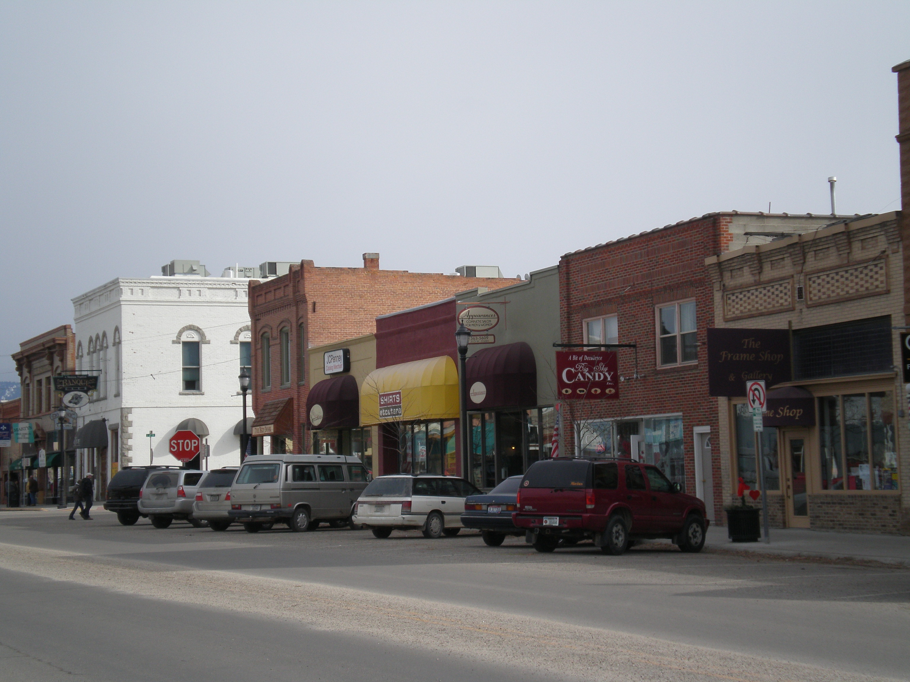
Hamilton serves the practical needs of valley residents - grocery stores, medical facilities, the businesses that any county seat requires. The shops and restaurants spread along US-93, the highway strip that handles most of the commercial traffic. Downtown retains some historic character, but the growth has followed the highway pattern familiar throughout the rural West.
The valley's appeal has brought population growth, particularly from those seeking Montana's perceived freedom and beauty. Remote work has accelerated the trend, people discovering that a Bitterroot address can pair with employment anywhere. The longtime residents - ranchers, farmers, those whose families have worked this land for generations - share the valley with newcomers who brought different expectations. It's a tension common to mountain valleys throughout the West, the beauty that draws people changing the character of what they came to find.
From the Air
Located at 46.25N, 114.16W in the Bitterroot Valley of western Montana. Hamilton is visible as the largest town in the valley, which runs north-south between the Sapphire Mountains (east) and Bitterroot Mountains (west). US-93 runs through town, continuing north to Missoula (50 miles) and south to Lost Trail Pass (47 miles) at the Idaho border. The Bitterroot River flows through the valley. Lake Como is visible 8 miles south. The valley is characterized by benchland orchards and agricultural bottomland. Missoula International Airport (KMSO) is the nearest commercial airport.