Hamun Lake
Satellite images taken two years apart tell the whole story. In 1999, Hamun Lake shimmered across the Sistan Basin as it had for millennia, a chain of shallow waters where the Helmand River fanned into a dendritic delta at the edge of the Dasht-e Margo desert. By 2001, the lake had vanished. What remained was a blinding expanse of cracked earth and salt, and the wind was already building the dunes that would swallow nearly a hundred fishing villages along the former shore.
An Oasis Between Empires
Hamun Lake is not one lake but three. Hamun-e Puzak gathers water in the northeast, spills into Hamun-e Sabari, which in turn overflows southwest into Hamun-e Helmand. Together they straddle the Afghanistan-Iran border, fed primarily by the Helmand River flowing down from the Hindu Kush. When the spring snowmelt ran heavy, the lakes could sprawl across vast stretches of the basin, ringed with dense reed beds and tamarisk thickets alive with migratory birds. A flat-topped mesa rises 609 meters above sea level from the basin floor, the only natural uplift in the Sistan flatlands, standing like a sentinel over the marshes. For five thousand years, people built their lives around this water. They fashioned long reed boats to navigate the shallows and erected squat red clay houses to endure the desert heat. Their livelihood depended almost entirely on hunting, fishing, and farming in the wetlands.
Ghosts of the Burnt City
The archaeological record around Hamun Lake runs deep. Shahr-e Sukhteh, the "Burnt City," sprawls across the nearby plains - a giant prehistoric settlement that flourished around 3200 BCE as one of the earliest urban centers of the eastern Iranian plateau. Thirty-five kilometers to the northeast stand the ruins of Dahan-e Gholaman, an Achaemenid-era city whose name translates to "Gate of Slaves." These sites testify to the lake's ancient role as a magnet for civilization. Where water pooled in the desert, people gathered, traded, built, and left their marks in mud brick and ash. The Sistan Basin was never easy country, but the Hamun wetlands made it habitable, and for four thousand years irrigation waxed and waned without destroying the ecosystem that sustained it.
The Slow Strangling
The balance held until the late twentieth century. Population surged, and new water management technologies arrived in the region. Irrigation schemes snaked through the basin. Afghan governments constructed large dams upstream - the Arghandab Dam and the Kajaki Dam - diverting water from the Helmand's upper reaches before it could nourish the lakes below. Eastern Iran's farmers watched the water table drop. Then came the drought. Landsat imagery tracked the collapse in real time: snow cover in the Helmand Basin shrank from 41,000 square kilometers in 1998 to 26,000 in 2000. By 2001, Iran and Afghanistan had endured three consecutive years of extreme drought, the worst Central Asia had witnessed in living memory. The Hamun dried out completely. In 1975, Hamun-e Helmand and Hamun-e Sabari had been designated a Ramsar wetland site, recognized internationally for their ecological importance. Twenty-five years later, that designation protected only a memory.
Sand Over Everything
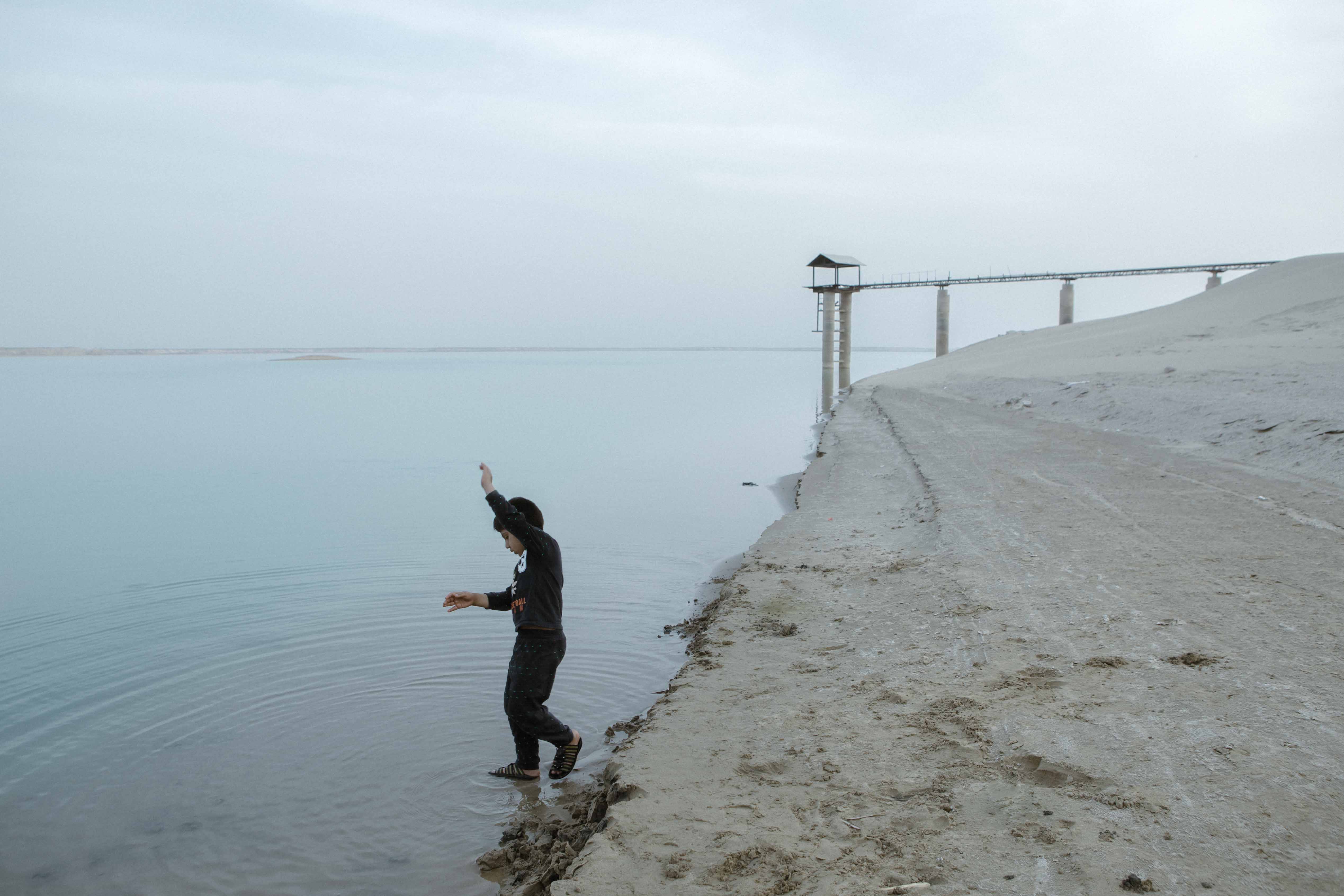
The consequences arrived on the wind. Without water to cool and anchor the landscape, seasonal gusts lifted fine sand and salt off the exposed lake bed and drove it onto the surrounding settlements. Dunes grew over villages that had stood for generations. A thriving fishery that once landed around 12,000 tons annually was wiped out. Livestock herds collapsed. Crops turned to dust. The population of the Sistan region, already swollen by refugees fleeing war-torn Afghanistan, faced water shortages so severe that irrigation channels ran completely dry. Agriculture came to a standstill, and entire villages were abandoned as families migrated in search of water. The migratory birds that once wheeled over the marshes stopped coming. Local wildlife that could not cross the desert to another oasis simply died. What had been fertile wetlands became lifeless salt flats, their surface throwing back a harsh white glare under the sun - a devastation widely compared to the Aral Sea disaster unfolding simultaneously to the north.
A Landscape in Limbo
Today the Sistan Basin holds its breath. The only significant body of standing water in the area is the Chah-Nimeh IV reservoir, maintained strictly for drinking water. The reed beds are gone. The red clay houses stand half-buried or abandoned. Whether the Hamun can recover depends on rainfall patterns in the Hindu Kush, water policy negotiations between Afghanistan and Iran, and choices about upstream dam releases that have proven politically intractable for decades. From the air, the basin reads like a cautionary tale written in salt and sand - the outline of vanished shorelines still faintly visible, a ghost map of the water that once made this corner of the desert one of the oldest continuously inhabited landscapes on Earth.
From the Air
Located at 30.77N, 61.64E on the Afghanistan-Iran border in the Sistan Basin. The dried lake bed and salt flats are visible from cruising altitude as a vast white expanse contrasting with surrounding desert. The flat-topped mesa rising from the basin floor serves as a visual landmark. Nearest significant airports include Zahedan (OIZH) approximately 200 km to the south and Zaranj on the Afghan side. Expect clear desert conditions with possible dust haze, especially during wind events that carry salt and sand from the exposed lake bed.