Harishchandragad
Stand at the edge of Kokan Kada on Harishchandragad, face west into the valley, and wait for the right conditions: a little mist below, the sun behind you. If you are lucky, a circular rainbow will form around your own shadow, projected onto the clouds -- the Brocken spectre, a phenomenon more commonly associated with Alpine peaks than the hills of Maharashtra. Then watch the clouds themselves. They rush toward the cliff face, get sucked into the pit below, and shoot vertically back into the sky, rising fifty feet or more like a wall of vapor erupting from the earth. This is not a mountain that stays still.
Layers Older Than Memory
Harishchandragad is old in ways that resist easy summary. Remnants of microlithic tools have been found on the fort, placing human presence here in the Stone Age. The ancient scriptures -- the Matsyapurana, Agnipurana, and Skandapurana -- all reference the site. The fort's origin is attributed to the 6th century, during the rule of the Kalachuri dynasty, when the citadel was first constructed. Caves carved into the hillside likely date to the 11th century and contain idols of Vishnu. The great sage Changdev, author of the philosophical epic Tatvasaar, is said to have meditated here in the 14th century. The Mahadev Koli tribes controlled the fort before the Mughals arrived, and the Marathas captured it in 1747. Each era left its mark -- carvings, temples, fortifications -- and the fort carries them all simultaneously, like geological strata exposed in a cliff face.
The Cave Where Water Never Stops
To the right of the Harishchandreshwar temple lies the Kedareshwar cave, and inside it stands a five-foot Shiva lingam completely surrounded by waist-deep water that is, by every account, brutally cold. Water seeps into the cave through all four walls, every day of the year, regardless of season. During the monsoon, the water level rises to chest height and a stream blocks the entrance entirely. Four stone pillars were built around the lingam to support the cave's ceiling, and local legend holds that when the fourth pillar collapses, the world will end. Three still stand. The cave is also the origin point of the Mangalganga River. Reaching the lingam is an act of devotion and endurance in equal measure -- pilgrims wade through water cold enough to numb within seconds.
A Temple Carved from a Single Rock
The Harishchandreshwar temple, dedicated to Shiva, rises approximately 16 meters from its base and stands as one of the finest examples of medieval stone carving in the Western Ghats. Its architectural style resembles north Indian temple construction -- a similar design can be found at Bodh Gaya. Around the temple are caves, ancient water tanks, and cisterns that still provide drinking water. Nearby, the smaller Kashitirtha temple was carved entirely from a single massive rock, with entrances on all four sides. The main entrance bears sculptured faces of temple guardians, and a Devnagari inscription on the left side records the presence of the sage Changdev. At the Nageshwar temple in the nearby village of Khireshwar, the ceiling holds a 1.5-meter sculpture of Vishnu in repose -- the Sheshshayi Vishnu, rare enough to be considered a significant find in Marathi temple art.
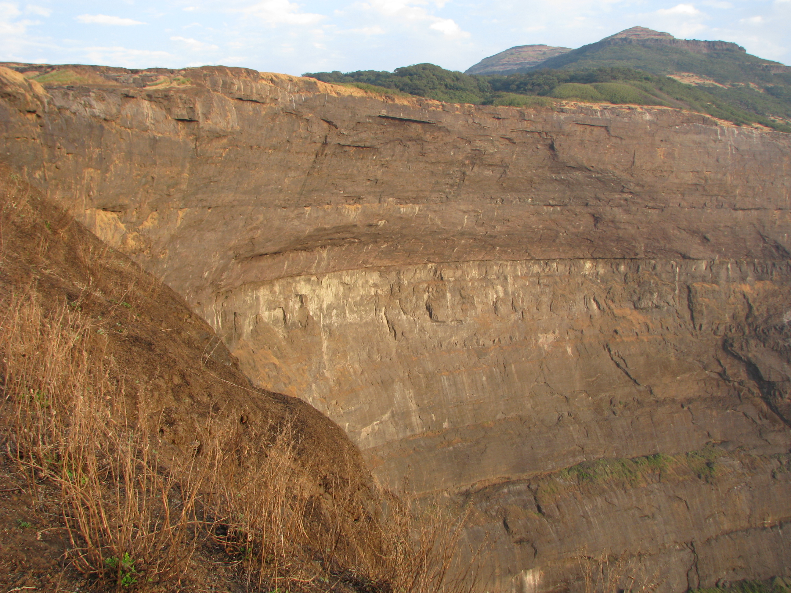
The Cliff, the Peak, and the View South to Bhimashankar
Kokan Kada, the west-facing cliff, drops away in a sheer overhang that looks down upon the Konkan coastal plain. It has been climbed many times despite the exposure. In April and May, updrafts from the valley below are strong enough to catch a hat thrown from the edge and send it sailing back onto the plateau. Taramati peak, at 1,429 meters, is the highest point on the fort. Leopards have been spotted in the forests beyond it. From the summit, the view extends south to Siddhagad near Bhimashankar, and north to the Kulang fort at 1,471 meters and the twin peaks of Napta near the Kasara region. The entire range of Naneghat and the forts near Murbad are visible. Caves are scattered across the plateau -- at the foot of Taramati, near the citadel, deep in the forest. A 30-foot natural cave sits on the northwestern side near Kokan Kada. Many more, the locals say, have never been found.
Seven Hills to the Temple
Getting to Harishchandragad is itself an experience. The most popular route begins at Khireshwar village, passes through the Junnar Darwaja gate, and reaches Tolar Khind, where iron railings are fixed into a rock face for the final ascent. From the top of the rock patch, the path crosses seven consecutive hills before arriving at the Harishchandreshwar temple -- a walk of two to three hours through progressively thinning forest. A shortcut exists, cutting below the citadel through dense woods and reaching the seventh hill directly, halving the time. The fort lies where the boundaries of Thane, Pune, and Ahmednagar districts converge, accessible from all three directions. On weekends, villagers set up temporary shacks between Tolar Khind and the temple, selling lemon water and buttermilk. The monsoon transforms the plateau: waterfalls appear everywhere, the rock face becomes dangerously slippery, and lightning strikes the exposed ridges at night.
From the Air
Located at 19.388N, 73.776E in the Sahyadri range of the Western Ghats, at the convergence of Thane, Pune, and Ahmednagar districts. Taramati peak reaches 1,429 meters (4,688 feet). The Kokan Kada cliff on the western face is a dramatic vertical drop visible from the air. The fort plateau is surrounded by rugged, forested mountain terrain. Nearest major airports are Mumbai's Chhatrapati Shivaji International (VABB), approximately 120 km southwest, and Pune Airport (VAPO), approximately 110 km south-southeast. Malshej Ghat pass is nearby to the northeast. Exercise caution for mountainous terrain, turbulence near ridgelines, and severely reduced visibility during monsoon season.