Harriet Tubman Byway: The Routes That Led to Freedom
She was born Araminta Ross around 1822 in Dorchester County, Maryland, enslaved on the Eastern Shore where the Chesapeake's marshes provided both misery and possibility. She escaped in 1849, walking nearly 90 miles to freedom in Pennsylvania. Then she came back. Over the next decade, Harriet Tubman made approximately thirteen trips into slave territory, guiding roughly seventy people to freedom through a network of safe houses, hidden routes, and trusted allies known as the Underground Railroad. She was never caught, never lost a passenger. The landscape where she operated is still recognizable - tidal marshes, dense forests, small crossroads towns - now interpreted by the Harriet Tubman Underground Railroad National Historical Park and Byway. The freedom she sought was a journey, not a destination, and it started in these fields.
The Land
Maryland's Eastern Shore was tobacco country, then timber country, the enslaved population working farms and logging forests. The terrain was flat, marshy, crisscrossed by waterways that could be paths to freedom or traps for the pursued. Tubman knew this land intimately - she had worked it since childhood, hired out by her enslaver to cut timber and drive oxen. The knowledge became advantage. She guided freedom seekers through swamps where bloodhounds lost scent trails, along waterways that led north, through forests that hid movement. The land that had been her prison became her tool. The same marshes where she labored became the routes by which she liberated others.
The Network
The Underground Railroad was neither underground nor railroad. It was a loose network of abolitionists, free Blacks, and sympathizers who provided shelter, food, transportation, and guidance to those escaping slavery. 'Stations' were safe houses; 'conductors' were guides like Tubman. The network extended from the slave states through the North and into Canada, where American law couldn't reach. Tubman operated primarily on the Eastern Shore and Delmarva Peninsula, leading groups at night, hiding by day, trusting contacts whose identities were protected by code. The secrecy was essential - the Fugitive Slave Act of 1850 made assisting escapees a federal crime, and the penalties were severe.
The Rescues
Tubman's missions required extraordinary courage. She returned to territory where she was known, where capture meant return to slavery or worse. She carried a pistol, reportedly telling passengers that those who turned back endangered everyone - 'You'll be free or die.' She developed tactics: traveling in winter when longer nights provided cover, starting on Saturdays when enslaver advertising wouldn't run until Monday, using spirituals to signal safety or danger. She rescued her brothers, her parents, and dozens of others. Slaveholders offered rewards for her capture; she evaded them all. Frederick Douglass called her 'one of the bravest persons on this continent.'
The Park
The Harriet Tubman Underground Railroad National Historical Park was established in 2014, protecting the landscapes where Tubman lived and operated. The visitor center in Church Creek interprets her life and the Underground Railroad. The byway extends 125 miles across Dorchester and Caroline Counties, connecting sites associated with Tubman and the freedom network. Blackwater National Wildlife Refuge preserves the marshland terrain that shaped Tubman's knowledge. The Jacob Jackson Home Site marks where a coded letter signaled an escape was coming. Bucktown Village Store is where Tubman was struck in the head by an overseer, causing lifelong seizures and visions. The landscape remains: fields, forests, marshes, the same horizon she studied for signs of safety or danger.
Visiting Harriet Tubman Byway
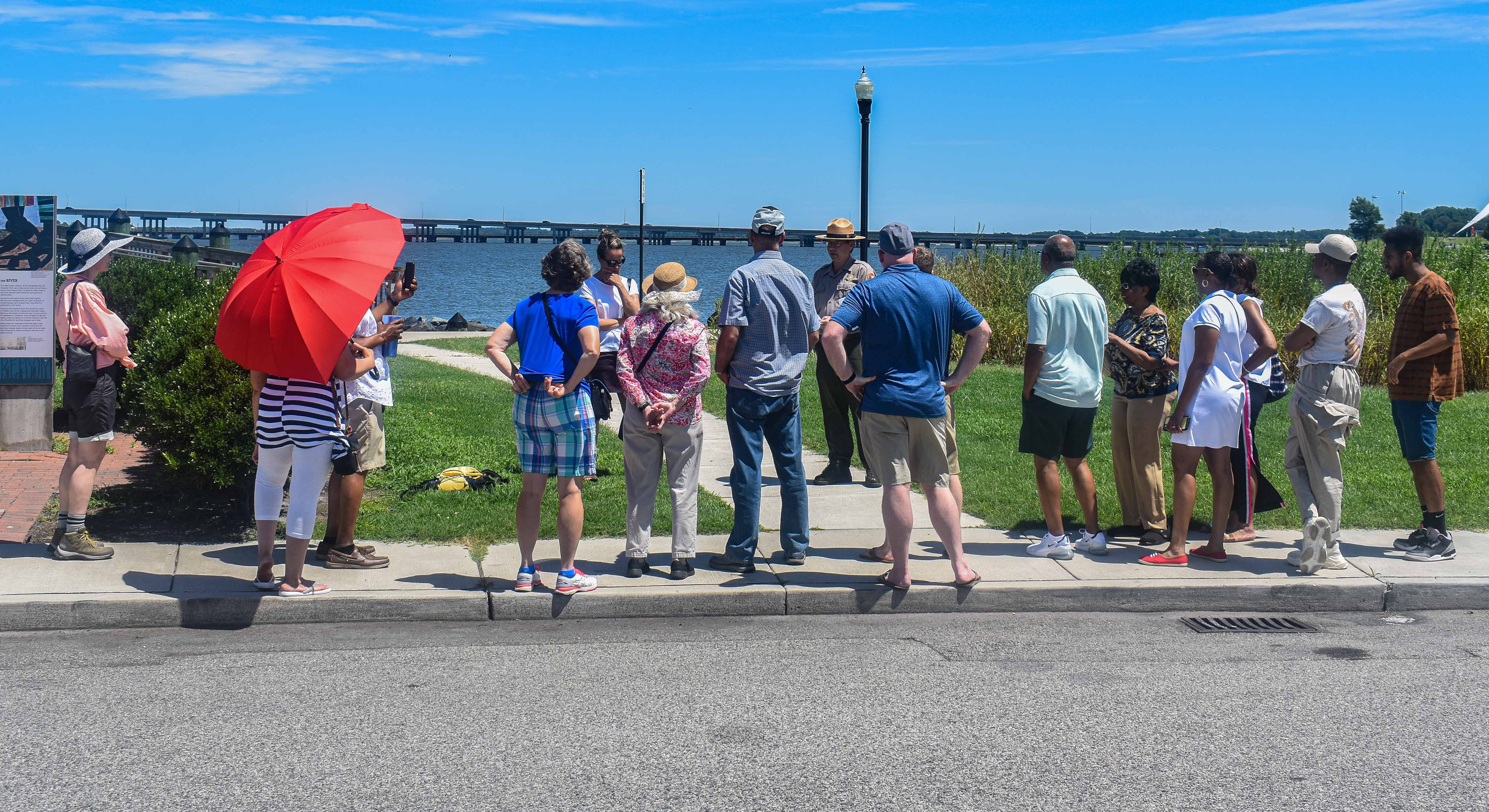
The Harriet Tubman Underground Railroad National Historical Park visitor center is located in Church Creek, Maryland, on the Eastern Shore. Cambridge is the nearest town with full services. The byway is best experienced by car, with stops at marked sites along the route. The visitor center provides maps and interpretation; ranger-led programs offer deeper context. Blackwater National Wildlife Refuge (included in the byway) offers kayaking and hiking in terrain similar to what Tubman navigated. The landscape is most evocative in autumn and winter - the seasons when escapes typically occurred. The experience connects landscape to history: the marshes she knew, the forests she traversed, the horizon she watched for the North Star that guided her freedom and the freedom of those who followed her.
From the Air
Located at 38.45°N, 76.13°W on Maryland's Eastern Shore, along the Chesapeake Bay's eastern tributaries. From altitude, Dorchester County appears as a patchwork of agricultural fields and tidal marshlands, the Blackwater River snaking through wetlands that extend to the bay. The terrain is flat and watery, the kind of landscape that offered hiding and danger in equal measure. Cambridge is the main town visible along the Choptank River. The byway's route follows rural roads through terrain that looks much as it did when Tubman navigated it at night. What appears from altitude as unremarkable coastal farmland was the landscape of enslavement and escape - where Harriet Tubman learned every route, every hiding place, every star, and used that knowledge to lead dozens from bondage to freedom.