Hashihaka Kofun
The name means "Chopstick Grave." According to the Nihon Shoki, Japan's oldest official chronicle, Princess Yamato Totohi Momoso fell in love with the kami of sacred Mount Miwa. When the affair ended in betrayal, the princess stabbed herself to death with a chopstick. Her tomb, the chronicle says, was built in the Oichi district of what is now Sakurai, Nara Prefecture. That tomb is almost certainly the massive keyhole-shaped mound that still rises from the rice paddies of the southeastern Nara Basin -- a structure so large it resembles a natural hill, and so significant that many archaeologists consider its construction the opening act of an entirely new era in Japanese civilization.
Where a Kingdom Begins
The Hashihaka Kofun is widely regarded as the first large-scale keyhole-shaped burial mound -- or zenpokoenfun -- ever constructed in Japan. Its construction, dated by most researchers to the late 3rd or early 4th century, marks a decisive break from the smaller, simpler tombs that preceded it. The mound sits at the northwestern foot of Mount Miwa, within the Makimuku archaeological complex, a sprawling site that many scholars identify as the political center of the emerging Yamato Kingship. Pottery excavated from the moat includes Kibi-type vessels from the Okayama region hundreds of kilometers to the west, suggesting that the tomb's construction involved alliances -- or authority -- that extended far beyond the local area. A 2018 analysis by the Archaeological Institute of Kashihara confirmed that ceramics from the mound's rear section were manufactured with Kibi-region clay, reinforcing the picture of a political network powerful enough to coordinate labor and ritual across great distances.
The Himiko Question
The Imperial Household Agency officially designates the Hashihaka Kofun as the tomb of Princess Yamato Totohi Momoso, daughter of the legendary Emperor Korei. But since the research of Shinya Kasai during the Taisho period, a more dramatic theory has persisted: the tomb may belong to Himiko, the shamanistic queen of Yamatai described in Chinese records of the 3rd century. Radiocarbon dating of earthenware from the moat has placed key artifacts in the range of 280 to 300 AD, tantalizingly close to Himiko's death around 248 AD. The fit is not perfect. The Chinese Wajinden describes Himiko's burial as having a sarcophagus but no stone chamber, yet a basalt slab found at the mound's base suggests a pit-type stone chamber was constructed here. Debate over the tomb's occupant has raged for a century, and in 2013, researchers were granted the first-ever on-site survey -- though the Imperial Household Agency continues to restrict full excavation.
A Mountain of Earth and Stone
From the air, the Hashihaka Kofun reveals its distinctive keyhole shape: a large circular rear mound joined to a trapezoidal front section. The rear portion was built in an unprecedented four tiers, topped by a small circular hill that likely held a special vessel platform -- a five-tiered configuration found nowhere else among Japan's thousands of kofun. The front section also features four stepped tiers. Fukiishi -- carefully placed roofing stones -- were identified on the northern slope, and excavations between 1994 and 1995 revealed a broad outer moat-like depression surrounding the entire complex, likely created when builders quarried the enormous volumes of earth needed to construct the mound. A causeway with fukiishi piled on both sides crossed the moat on the southeast side. The tomb originally contained the oldest known examples of Miyayama-type special vessel bases and what are considered the earliest haniwa -- the ceremonial clay figures that would become a defining feature of Kofun-period tombs for the next three centuries.
Locked Away by Imperial Decree
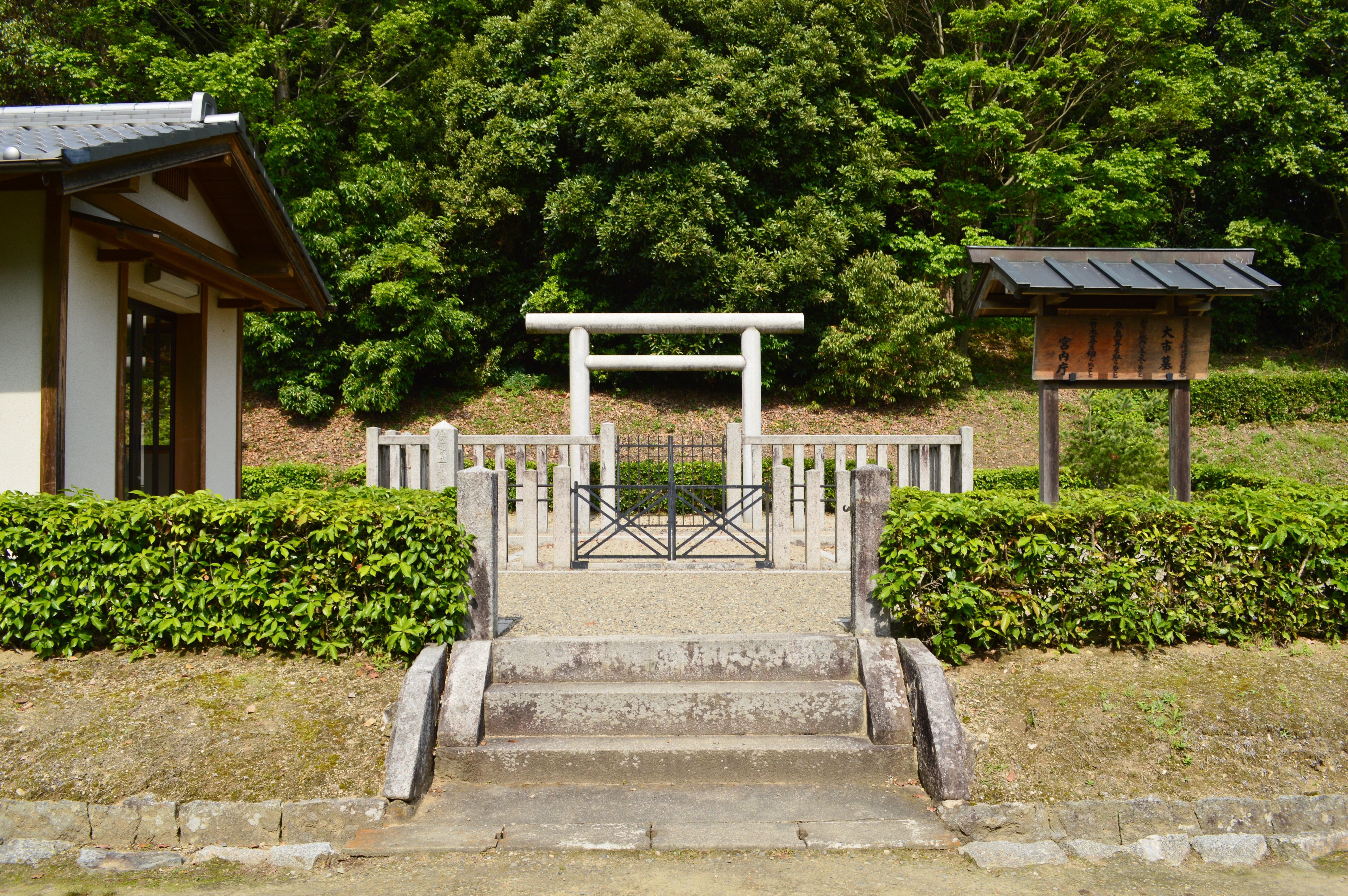
Unlike many archaeological sites around the world, the Hashihaka Kofun remains largely off-limits. The Imperial Household Agency manages it as a mausoleum -- the official resting place of an imperial family member -- and neither researchers nor the public may freely enter the tumulus. The moat surrounding the site has been designated a National Historic Site since 2017, and part of the adjacent pond was named one of Japan's 100 Best Reservoirs. But the mound itself is protected behind fences and protocol. The 2013 survey, conducted at the request of the Japanese Archaeological Association, was a landmark event simply because it happened at all. Archaeologists were permitted to walk the surface and make observations, but full excavation remains a political and cultural impossibility. The tomb guards its secrets behind the authority of an institution that has controlled access to imperial burial sites for over a millennium.
Dawn of the Kofun Age
Whatever its occupant's true identity, the Hashihaka Kofun holds a position in Japanese archaeology that few sites can match. Many researchers consider its construction the formal beginning of the Kofun period, the era from roughly the 3rd to 7th centuries when massive burial mounds defined the political landscape of the Japanese islands. The tomb's scale, its sophisticated engineering, and the presence of artifacts linking it to distant regions all point to a moment when local chieftains gave way to something larger: a centralized power capable of mobilizing resources, coordinating rituals, and projecting authority across the Yamato heartland and beyond. Standing at the edge of the moat today, looking up at the tree-covered mound that rises like a green hill from the flat farmland, it is easy to forget that this is not a natural feature. Every grain of that earth was carried and placed by human hands, seventeen centuries ago, to honor someone whose name -- princess or queen, legend or history -- the ground still refuses to surrender.
From the Air
Located at 34.539N, 135.841E in the southeastern Nara Basin, Sakurai, Nara Prefecture, Japan. From the air, the distinctive keyhole shape of the kofun is clearly visible amid surrounding rice paddies and farmland, with Mount Miwa rising to the southeast. The mound is tree-covered and appears as a forested hill. Look for the adjacent Hashinaka Oike pond on the western side. The site is part of the broader Makimuku archaeological complex. Nearest airports: Kansai International Airport (RJBB) approximately 55km to the west, Osaka Itami Airport (RJOO) approximately 40km to the northwest. The flat Nara Basin provides excellent visibility of the keyhole mound shape, best observed at moderate altitude. Expect clear conditions outside the June-July rainy season.