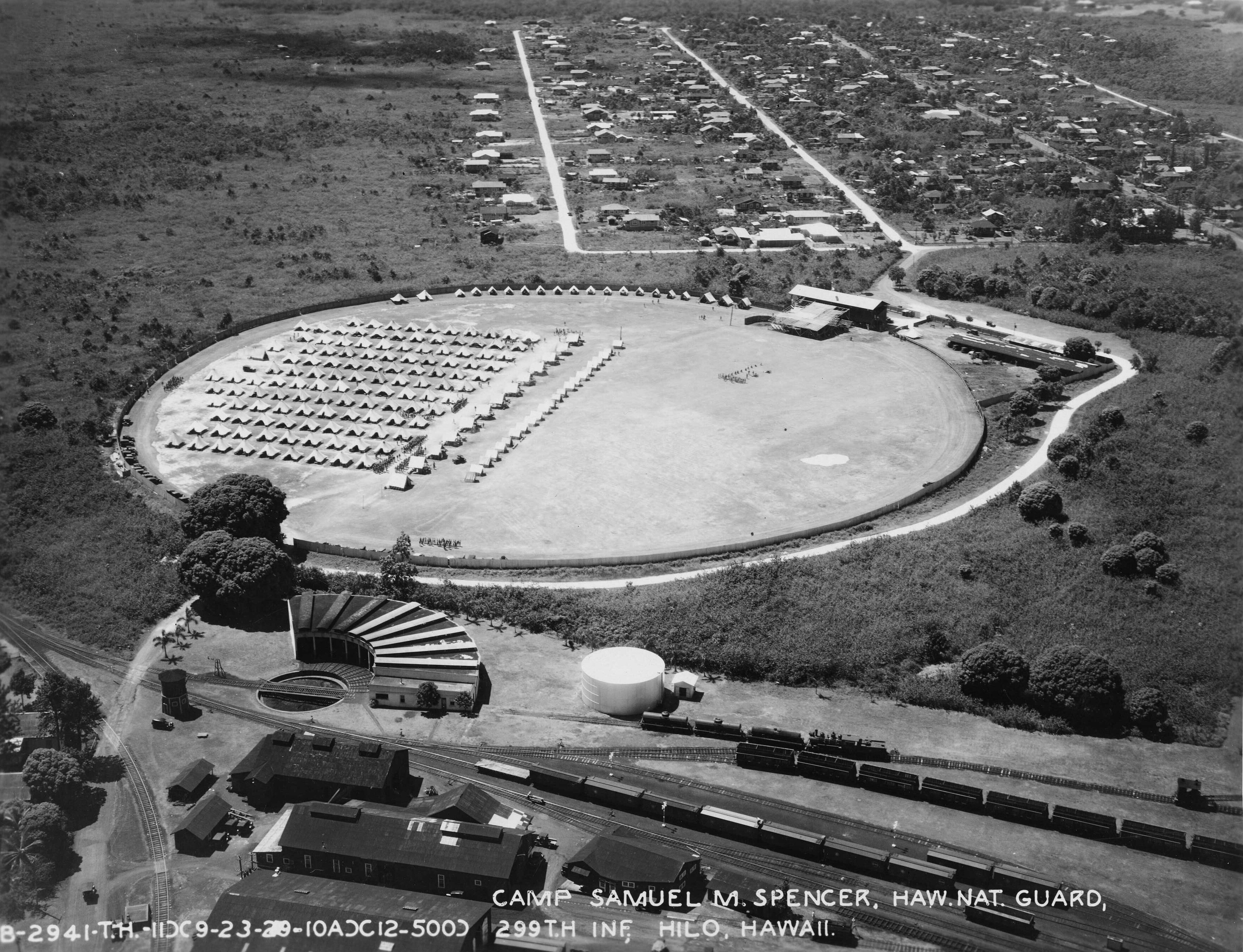
Hawaii Consolidated Railway
The train whistle once carried across the gulches of the Hamakua Coast, echoing off the basalt walls of ravines so deep and narrow that bridging them required feats of engineering more commonly associated with alpine railroads. The Hawaii Consolidated Railway ran along the windward side of the Big Island from 1899 to 1946, hauling sugarcane, carrying passengers, and threading its way across some of the most dramatic terrain any American railroad ever attempted. Then a tsunami ended it. On April 1, 1946, waves generated by an earthquake in the Aleutian Islands swept across the Big Island's coast, destroying tracks, bridges, and infrastructure that had taken decades to build. The shareholders had already voted to discontinue operations, and the tsunami settled the question permanently.
Sugar Built the Railroad
The Hawaii Consolidated Railway began life as the Hilo Railroad Company, chartered on March 28, 1899, with a straightforward purpose: move sugar from plantation to port. Its principal backer was Benjamin Dillingham, the businessman who had already built the Oahu Railway and Land Company on another island. In the late 1890s, Dillingham acquired land southeast of Hilo in what is now Keaau and Puna, establishing the Olaa Sugar Company and Puna Sugar Company plantations. The sugar mills sat miles from Hilo Harbor, and the roads of the era were poor. Rail was the obvious answer. The first line connected the Olaa sugar mill to Waiakea, near Hilo's deepwater port, using standard-gauge track laid with 60-pound rail. Service began on June 18, 1900, and within two years a branch line extended to Kapoho, home of the Puna Sugar Company plantation.
The Hamakua Division
The railroad's most ambitious chapter was the Hamakua Division, a northward extension from Hilo along the coast toward Paauilo. This stretch of coastline is notched with deep stream valleys -- gulches carved into volcanic rock by centuries of heavy rainfall -- and bridging them required steel trestles of extraordinary height and length. The highest bridge spanned Nanue Stream at milepost 17.99, soaring above the gorge floor. Tunnels were bored through ridges between the valleys. Funded by bond issues in 1907 and 1909, the Hamakua line was expensive to build and costly to maintain, but it opened up a string of sugar mills along the coast and became a tourist attraction in its own right. The railroad's Scenic Express service carried passengers from ships docking at Hilo Harbor on excursions through the lush, waterfall-laced coast, offering views that no road could match.
War, Profit, and the Wave
By 1937, the railroad had expanded its network significantly, though the branch line from Olaa to Glenwood -- the old Volcano service -- was abandoned on October 29, 1938. World War II brought a surge in traffic and revenue as the military presence on the Big Island intensified. For the first time in its history, the HCR was genuinely profitable by the end of 1945. But the economics of railroading in Hawaii were unforgiving. Shareholders voted in March 1946 to discontinue operations. Then, on April 1, 1946, the Aleutian tsunami struck. The waves scoured the coastline, sweeping away tracks and damaging the trestle bridges that had been the line's greatest engineering achievement. There would be no rebuilding. The railroad that sugar built and war sustained was finished in a matter of hours.
Steel Bones Along the Belt Road
Five of the original steel trestle bridges survived the tsunami and still stand along the Hawaii Belt Road, though all have been modified under the Seismic Wave Damage Rehabilitation Project of 1950. The bridges at Kapue Stream, Paheehee Stream, Hakalau Stream, Umauma Stream, and Nanue Stream now carry automobile traffic instead of freight cars, but their riveted steel frames remain visible reminders of the railroad era. Some postwar bridges were built using materials salvaged from the Hamakua Division -- reused piers at Wailuku River, recycled steel beams at Kolekole Stream and Hakalau Plantation Road. Today the Laupahoehoe Train Museum, housed in the old station agent's house, preserves the history of the railway and the coast it served. For anyone driving -- or flying along -- the Hamakua Coast, the trestles are the most tangible evidence that this green, rain-soaked landscape was once an industrial corridor, built on sugar and connected by rail.
From the Air
The former Hawaii Consolidated Railway route runs along the Hamakua Coast of the Big Island, from Hilo (19.72N, 155.07W) northward toward Paauilo. The five surviving steel trestle bridges are visible from low altitude as they cross the deep gulches that characterize this coastline. Nearest airport: Hilo International Airport (PHTO) at the southern terminus of the former route. The Hamakua Coast is frequently cloud-covered due to trade winds; morning flights offer the best visibility. From 2,000-3,000 feet AGL, the gulches, bridges, and remnant rail infrastructure are identifiable, especially the Hakalau and Nanue stream crossings.