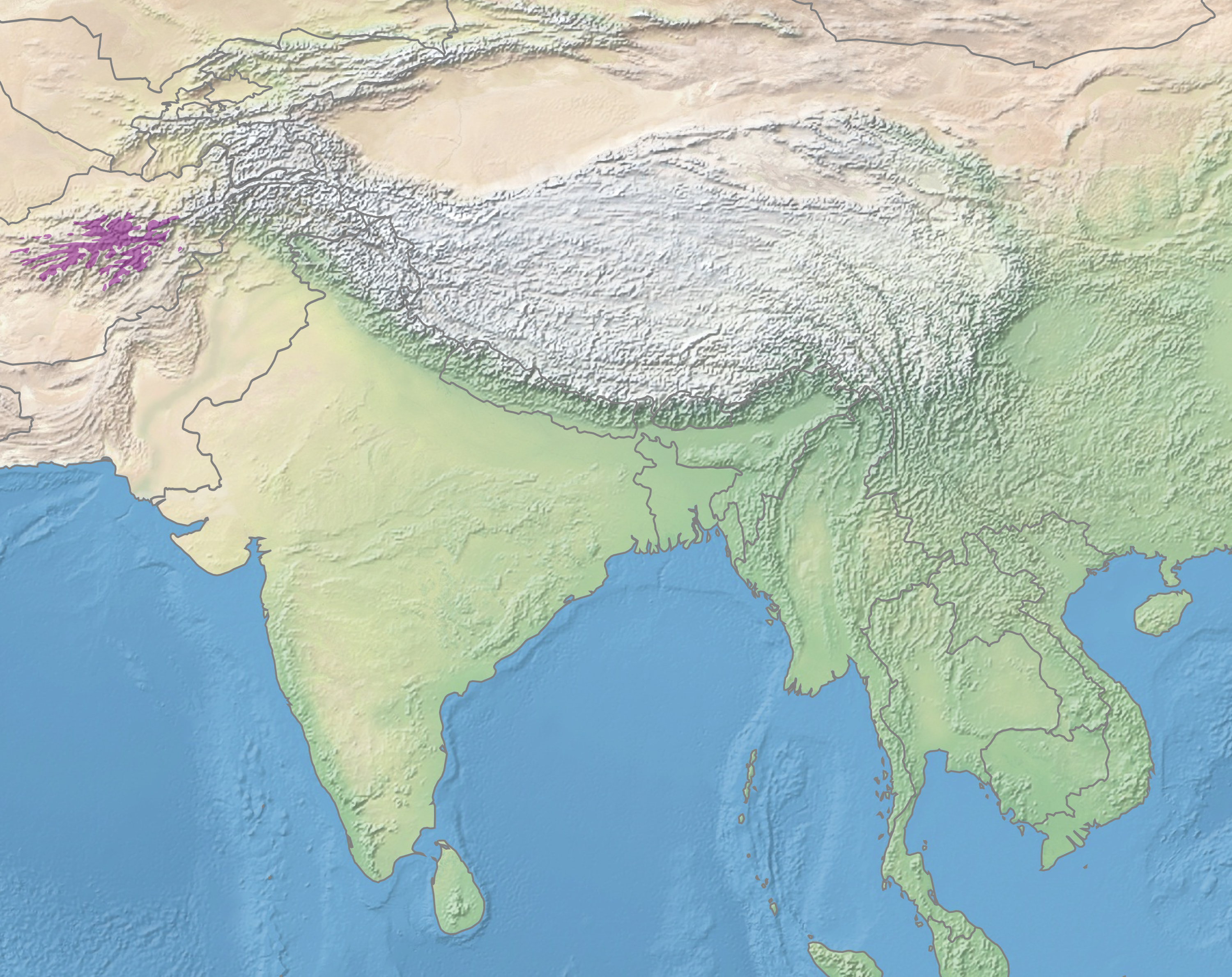
Hazarajat
The 10th-century geographer Estakhri described the mountains of Ghor, in what is now northwestern Hazarajat, as "the only region surrounded by Islamic territories and yet inhabited by infidels." A thousand years later, the description still captures something essential about this place. Hazarajat is Afghanistan's central highlands, a vast mountainous zone among the Koh-e Baba range and the western Hindu Kush where peaks reach 17,000 feet, where the Salang Pass is blocked by snow six months of every year, and where the people who live there, the Hazara, have maintained a distinct identity through centuries of invasion, persecution, and neglect.
The Roof of Afghanistan's Rivers
Hazarajat is the hydrological heart of Afghanistan. The Kabul, Helmand, Arghandab, Hari, Murghab, Balkh, and Kunduz rivers all originate in these highlands, flowing outward to irrigate the lowland plains that sustain the country's agriculture. The region spans the provinces of Bamyan, Daikundi, Ghazni, and large parts of Ghor and Maidan Wardak, with fingers extending into Sar-e-Pol, Balkh, Samangan, Uruzgan, and Parwan. Its physical boundaries are roughly marked by the Bamyan Basin to the north, the headwaters of the Helmand to the south, Firuzkuh to the west, and the Unai Pass to the east. Both faces of the Koh-e Baba range hold successions of valleys: the north face drops steeply into low foothills and semi-arid plains, while the south face stretches toward the Helmand Valley. During spring and summer, these highlands produce some of the greenest pastures in Afghanistan, fed by snowmelt and natural springs.
Silk Road and Shattered Buddhas
The northeastern corner of Hazarajat holds Bamyan, which stood for centuries as a center of Buddhism and a critical caravanserai on the Silk Road. The town sits at 7,500 feet, hemmed in by the Hindu Kush to the north and the Koh-i Baba to the south, accessible only through mountain passes that close for months at a time. The Shibar Pass, at lower elevation, is blocked by snow only two months of the year; the Salang Pass, higher and more exposed, shuts down for half the year. This geography made Bamyan simultaneously a crossroads and a fortress. Achaemenids, Seleucids, Mauryas, Kushans, and Hephthalites ruled in succession before the Saffarids brought Islam. Genghis Khan's Mongol army swept through in the 13th century. The Qarlughids carved out a brief local dynasty before the Timurids, Mughals, and Durranis absorbed the region in turn. Each conqueror found the mountain fortresses of Bamyan difficult to subdue, and each, as one historical account put it, eventually "adopted the language of the vanquished."
The Great Unknown Highlands
Until the late 19th century, Hazarajat existed largely beyond the reach of any central authority. Local chieftains governed, caravans rarely passed through, and even Afghanistan's Kuchi nomads, who migrated between the Amu Darya and the Indus, hesitated to graze their flocks there. During the Second Anglo-Afghan War, Colonel T. H. Holdich of the Indian Survey Department called it the "great unknown highlands," and for years afterward, neither the Survey nor Indian Intelligence could obtain trustworthy route information between Herat and Kabul through the region. When Captains Maitland and Talbot traversed the road from Herat to Bamyan in 1885, they found it so difficult that the expedition's achievement was simply mapping parts of the region at one-eighth inch scale. A French author named Ferrier claimed to have traveled through, dismissing the Hazaras as ungovernable plunderers, but subsequent British travelers suspected he never actually left Herat.
Persecution as Policy
The isolation ended violently under Abdur Rahman Khan, who in the late 19th century extended Kabul's authority into the Hazarajat with deliberate brutality. The Hazara, a predominantly Shia people in a Sunni-dominated state, were singled out as threats. Abdur Rahman Khan himself wrote that "the Hazara people had been for centuries past the terror of the rulers of Kabul." His campaigns dispossessed Hazara communities and established a pattern of state violence that echoed across the following century. When the Taliban seized power in the 1990s, they adopted what observers described as the genocidal policies of the Abdur Rahman era. In 1998, thousands of Hazaras were killed in the north in campaigns aimed at ethnic cleansing -- Human Rights Watch estimated between two thousand and eight thousand dead in Mazar-i-Sharif alone. Between these bookends of persecution, the Hazarajat saw brief periods of autonomy: during the Soviet-Afghan war, the region was largely ignored by both the government and the Soviets, allowing local rule to reassert itself. Economic conditions reportedly improved when Pashtun Kuchis stopped overrunning Hazara pastures and fields.
The Mountains Endure
Hazarajat does not exist as an official administrative region. Its boundaries are ethnic and religious rather than bureaucratic, encompassing the provinces where Hazara people form a majority. The Hazaragi dialect of Persian varies from district to district, the accents of Behsud differing from Jaghori, Daikundi, and the northern communities. In the 1920s, the ancient Shibar Pass road was paved for motor vehicles, and it served as the primary crossing of the Hindu Kush until the Salang Tunnel opened in 1964. Modernization has come slowly to a region defined by its inaccessibility. From the air, Hazarajat is a rumpled landscape of interlocking ridges and deep valleys, brown in winter and startlingly green in the brief summer months when snowmelt feeds the highland pastures. Natural lakes dot the Bamyan area, and caves punctuate the cliffsides, remnants of a time when Buddhist monks carved sanctuaries into the rock. The land has outlasted every empire that tried to claim it.
From the Air
Located at 34.82N, 67.82E in the central Afghan highlands. The Koh-e Baba range dominates the terrain with peaks reaching 15,000-17,000 ft. Bamyan is the main settlement, sitting at 7,500 ft elevation. Bamyan Airport (OABN) is the nearest airfield. Kabul International Airport (OAKB) lies approximately 90 miles to the east, with the Salang Pass and Shibar Pass serving as the main surface routes. Best viewed at 12,000-18,000 ft AGL. The Band-e-Amir lakes are visible to the west as striking blue bodies of water set against brown terrain. The former sites of the Bamiyan Buddhas are identifiable as large niches carved into a sandstone cliff face along the valley.