Height of Land Portage
Ontario's boundary with the United States runs 2,700 kilometers on water and roughly one kilometer on land. The Height of Land Portage accounts for a significant portion of that single dry kilometer. Eighty rods long -- about a quarter mile -- this unassuming footpath between North Lake and South Lake crosses the Laurentian Divide, the continental watershed boundary that sends water from one side flowing north to Hudson Bay and from the other side flowing east through the Great Lakes and the St. Lawrence River to the Atlantic Ocean. For Indigenous peoples, voyageurs, and fur traders, this short stretch of packed earth was one of the most consequential pieces of ground on the continent: the threshold between the known world and the vast interior of North America.
The Divide Underfoot
The geography is deceptively simple. South Lake feeds the Arrow River, which joins the Pigeon River flowing east to Lake Superior and eventually the Atlantic. Step across the portage to North Lake and you enter the watershed of the Rainy River, which drains through the Winnipeg and Nelson Rivers to Hudson Bay. The low saddle between the two lakes offers no dramatic summit, no visible ridge line -- just boreal forest, rock, and the narrow cleared strip of the international boundary vista marking where Canada ends and the United States begins. The portage sits within La Verendrye Provincial Park on the Ontario side and the Boundary Waters Canoe Area Wilderness on the Minnesota side, surrounded by some of the most pristine lake country in North America.
Animal Tracks to Trade Routes
Historians believe the portage began as a path worn by foraging and migrating animals. Indigenous peoples adopted it for birchbark canoe travel through the thick boreal forest of the Quetico-Superior region, where waterways served as the only practical highways. When European explorers arrived seeking the Northwest Passage and fur trade riches, they relied entirely on these native routes. Pierre Gaultier de Varennes, sieur de La Verendrye, followed Indigenous guides along these waters in 1732 to reach Rainy Lake. By the late eighteenth century, French-Canadian fur brigades used the Height of Land Portage as their main route from Grand Portage on Lake Superior to the pays d'en haut -- the 'upper country' beyond the divide, where beaver pelts and other furs awaited.
Baptism at the Divide
The voyageurs marked the crossing with ritual. Any man passing over the Height of Land for the first time was initiated in a ceremony that mixed frontier humor with genuine solemnity. The newcomer would kneel while a veteran sprinkled him with water from a cedar bough. He then swore two oaths: that he would never allow another novice to pass this way without undergoing the same rites, and that he would never kiss another voyageur's wife without her consent. A gunfire salute and rounds of 'high wine' -- a rough type of rum -- sealed the transformation. The newly baptized man was now a Nor'wester, recognized as a full member of the company. The ceremony was more than hazing. It acknowledged that crossing the Laurentian Divide meant leaving the world of European settlement behind and entering the vast, uncharted interior where survival depended on skill, trust, and shared purpose.
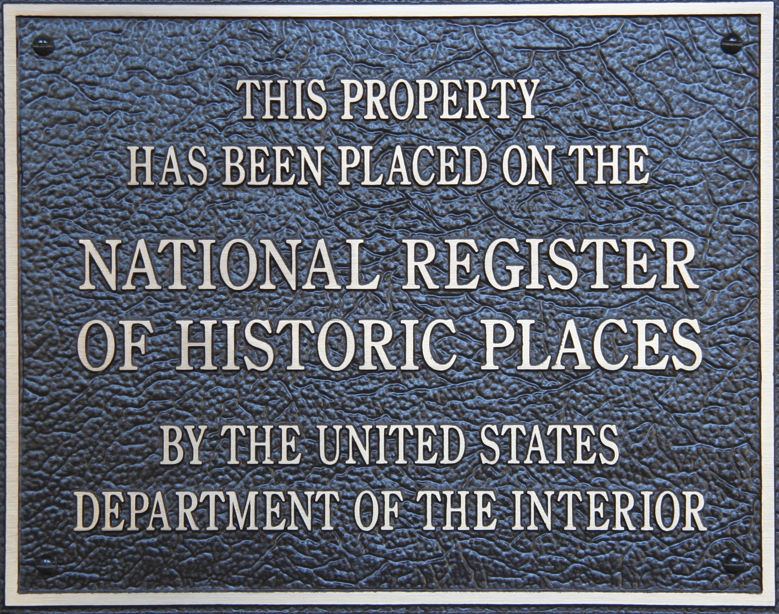
A Border Written in Water
After the American Revolution, the 1783 Treaty of Paris drew the international boundary between British North America and the new United States along the chain of waterways connecting Lake Superior to the Lake of the Woods. The Height of Land Portage, as part of that chain, became international border. The Webster-Ashburton Treaty of 1842 reaffirmed these boundaries, declaring the portage 'free and open to the use of the citizens and subjects of both countries.' It remains so today. In recognition of its layered significance -- as Indigenous travel route, fur trade highway, and international boundary -- the portage is listed on the U.S. National Register of Historic Places and designated a Minnesota State Historic Site.
Still Carrying Canoes
Today the Height of Land Portage serves recreational paddlers rather than fur traders, but the experience is remarkably unchanged. Canoeists still hoist their boats onto their shoulders and walk the same path through the same boreal forest, stepping over the same continental divide. The cleared boundary vista still marks the border. No road reaches this place; the only way in is by water, just as it was when the first humans followed animal tracks between the lakes. The portage retains a quiet power that statistics about watersheds and treaties cannot fully capture -- the sense that for thousands of years, people have paused at this low saddle in the forest, shifted the weight of their canoe, and stepped from one world into another.
From the Air
Located at 48.102°N, 90.567°W on the Minnesota-Ontario border within the Boundary Waters Canoe Area Wilderness. The portage connects North Lake and South Lake at the Laurentian Divide. No roads reach this area -- it is deep wilderness accessible only by water. The cleared international boundary vista between the lakes may be faintly visible from low altitude. Nearest airport is Devil Track Municipal (CKDV) approximately 50 nm to the south-southeast, but Grand Marais/Cook County Airport (CKGM) and Thunder Bay International (CYQT) are the nearest airports with services. Best viewed from 3,000-5,000 feet AGL; the surrounding Boundary Waters lake country is spectacular from the air, with hundreds of interconnected lakes and portage routes visible across the boreal forest landscape.