Hien Luong Bridge
Whenever the South Vietnamese repainted their half of the bridge, the North Vietnamese repainted theirs the exact same color. It was not maintenance. It was a message: this bridge is one bridge, this nation is one nation, and the line you have drawn through it means nothing. The Hien Luong Bridge, a modest concrete-and-wood span across the Ben Hai River in Quang Tri Province, sat precisely on the 17th parallel, the demarcation line that split Vietnam in two from 1954 to 1975. For two decades, it was the most visible seam in a divided country, and both sides used it as a stage.
The Line Drawn at Geneva
The 1954 Geneva Accords ended France's war in Indochina by cutting Vietnam along the 17th parallel. The division was supposed to be temporary, a holding pattern until nationwide elections in 1956. Those elections never happened. What was meant as a ceasefire line calcified into a border, and the Hien Luong Bridge, which happened to cross the Ben Hai River at that exact latitude, became its most tangible expression. Built by the French in 1952, the bridge was an unremarkable piece of colonial infrastructure. Its location made it extraordinary. Traffic still crossed in the early years, but as tensions hardened into war, the bridge became less a crossing and more a mirror, reflecting two governments that refused to acknowledge the other's legitimacy.
The Wars of Paint and Sound
The propaganda battles at Hien Luong would be absurd if the stakes had not been so deadly. Both sides installed massive loudspeakers on their respective banks, blasting music, speeches, and slogans across the river in an escalating contest of volume and endurance. The paint war was subtler but equally deliberate. Each time the South repainted its half of the bridge, the North matched the color precisely, a quiet insistence that no line of paint could divide what belonged together. Then came the flagpoles. Both sides erected enormous poles on their banks, each trying to fly a larger flag higher than the other. The North eventually built a pole standing 38.6 meters tall. Unable to match it in height, the South tried to destroy it instead, targeting the northern flag with airstrikes and naval bombardment. The flag kept coming back.
Sewing Machines on the Front Line
During the American bombing campaign of 1965 to 1968, the North's flag and flagpole became repeated targets. The 1967 bombing destroyed both the bridge and the pole. But every time a flag was shredded or a pole toppled, the North rebuilt. Sewing machines were sent to the front line to speed the production of replacement flags. Local civilians joined the effort, stitching banners under bombardment. Two women tailors, Tran Thi Vien and Ngo Thi Diem, were each named Hero of the People's Armed Forces for their contributions. The image is striking: women sewing national flags while bombs fell around them, insisting through needlework that a symbol mattered enough to rebuild again and again. The flag was not just cloth. It was a declaration that the will to reunify could not be bombed out of existence.
Destruction and Resurrection
American bombs destroyed the Hien Luong Bridge entirely in 1967. For years, only pontoon bridges served the crossing. In 1974, a replacement bridge was built adjacent to the original site to support military logistics for the 1975 Spring Offensive, the final campaign that ended the war and reunified Vietnam. After reunification, the replacement bridge opened to public traffic as part of National Route 1 and was rebuilt to modern standards in 1996. The original bridge's story might have ended there, one more piece of wartime infrastructure swallowed by progress. Instead, in 2003, the government rebuilt the Hien Luong Bridge as a pedestrian crossing at its historic location, designed as an exact replica of the 1952 French original. In 2014, the northern half was painted blue and the southern half yellow, recreating the bridge's divided appearance during the war.
Walking the Parallel
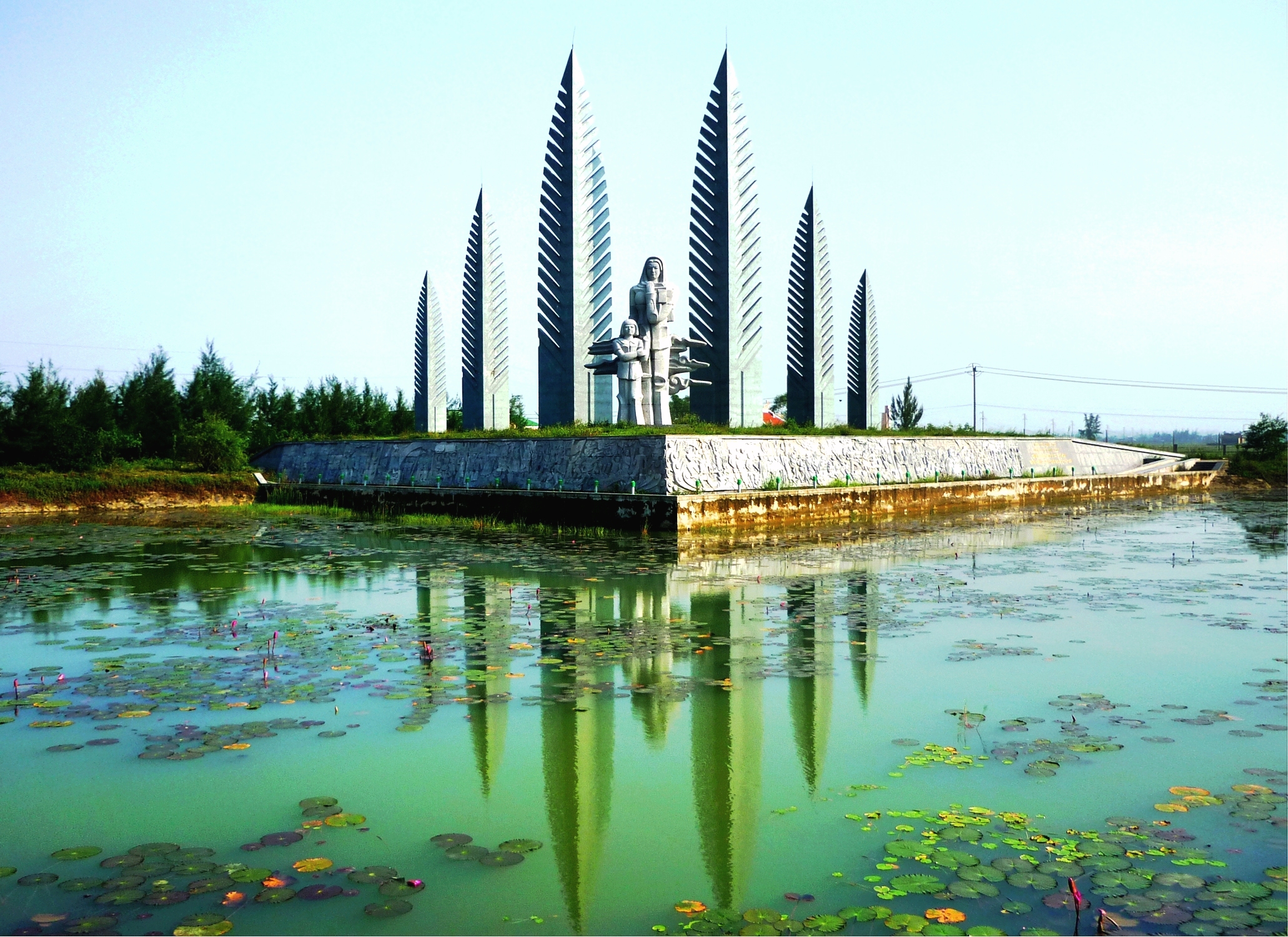
Today the reconstructed bridge is a memorial site. Monuments stand on both banks: a Postal Delivery and Radio Communications Monument on the south side, an "Aspiring to Reunification" monument built in 2002, and a monumental flagpole on the north bank erected in 2005. Visitors can walk from one half to the other in seconds, crossing a line that once divided families for decades. The Ben Hai River flows quietly beneath, indifferent to the history its banks have absorbed. The bridge's power as a memorial lies in its ordinariness. It is not grand. It is not imposing. It is a small bridge over a small river, and that is precisely the point. The division of Vietnam was imposed on landscapes that did not recognize it, on communities that straddled it, on a river that simply kept flowing south to the sea.
From the Air
Located at 17.004N, 107.052E on the Ben Hai River at the 17th parallel in Vinh Linh District, Quang Tri Province, central Vietnam. The bridge and memorial site are visible from low altitude along the river. The former DMZ corridor is identifiable by the river's east-west course. Nearest airports include Dong Hoi Airport (VVDH) approximately 40 km north and Phu Bai International (VVPB) approximately 80 km south. Flat coastal terrain along the river. Best viewed from 2,000-5,000 feet to appreciate the river as a dividing line.