Hill 60 (Ypres)
Before the war, the locals called it the Cote des Amants, the Lover's Knoll. It was not really a hill at all, just a slow heap of earth dumped beside the railway cutting when workers in the 1850s carved a line from Ypres to Comines. Two parallel mounds rose on the west of the cut; a third, the highest, on the east, only about sixty metres above sea level. Before 1914 a young man and woman might climb the small rise on a Sunday to look across the flat fields toward Ypres. After 1914 the rise became the place that artillery liked best, because Hill 60 was the highest piece of ground for kilometres in any direction, and from its top a soldier with a telescope could see everything that moved.
An Accidental Hill
The Comines line opened in March 1854, and the railway engineers dumped the spoil from the cutting on either side of the embankment. On the west, an irregular mound called The Caterpillar stretched along the ridge; a smaller mound, The Dump, sloped toward Zillebeke. The biggest pile, on the east side at the highest point of the ridge, became Hill 60. Strictly speaking it was sixty metres above sea level, which is how it got its map name. It was nobody's idea of a fortress, and for sixty years nobody thought it mattered. Then in late 1914 the Western Front froze in front of Ypres, with the Germans occupying every other piece of high ground for kilometres around, and the small artificial heap of railway dirt became the only Allied observation post worth holding.
April 1915: Six Tunnels and a Hill
The first underground attack of the Royal Engineer tunnelling companies in the Ypres Salient was made on Hill 60. The 173rd Tunnelling Company, mostly recruited from coal-mining families in Northumberland and Wales, took over a French tunnel and extended it. Six mines were charged. On 17 April 1915 the British 5th Division blew them and walked onto the hill with seven casualties. They could not stay. On 1 May, after a heavy bombardment, the Germans released chlorine gas at close range, the front lines less than fifty metres apart. The wind blew the gas along the British trenches rather than across them, and the men, choking on their improvised respirators, could not climb out to the flanks. By 7 May, after attacks by gas and counter-attacks through gas and grenade-fights at three in the morning, the hill was back in German hands. The men of the 1st Bedfords, the Devons, the Norfolks and the East Surreys who died here in those days were mostly Kitchener volunteers from market towns in southern England.
Below the Surface
After the spring of 1915, the fighting at Hill 60 went underground. Tunnellers from the Royal Engineers' 175th Tunnelling Company began a deep gallery, the Berlin Tunnel, behind the British lines that passed beneath the German positions. The Canadian 3rd Tunnelling Company took over in April 1916 and finished it. By October 1916 the chamber under Hill 60 held 53,300 pounds of explosives; the chamber under The Caterpillar held 70,000 pounds. The 1st Australian Tunnelling Company, mostly hard-rock miners from Ballarat and Broken Hill, maintained them through the wet winter. Above ground a man in a forward trench might hear the German tunnellers digging back, somewhere in the dark beneath his feet, and not know whether he would be drowned in clay or blown into Belgian sky before morning. The German official engineer reports recorded camouflet explosions on the British galleries above the deep chambers, near misses that the Australians waited out with their charges still in place.
Seven June 1917
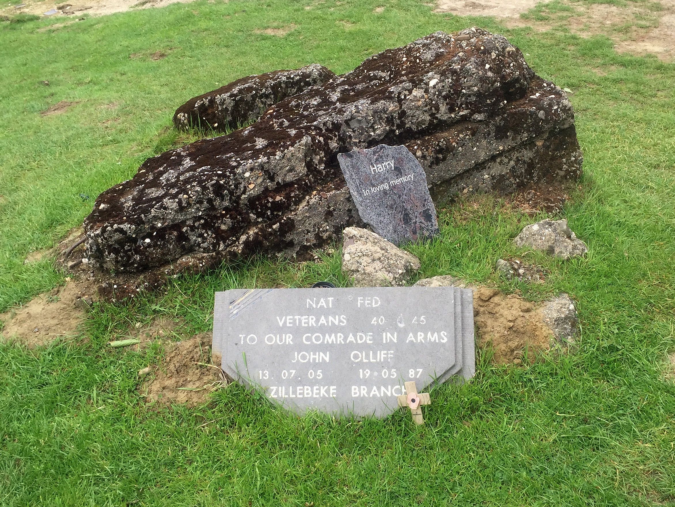
Two of the nineteen Messines mines fired on the morning of 7 June 1917 were under or beside Hill 60. The Hill 60 charge and the Caterpillar charge, together more than 120,000 pounds of explosives, detonated at 3:10 a.m. with the rest of the line. Most of Hill 60 ceased to exist as a coherent shape in the same twenty seconds, and the German garrison, mostly Saxons, mostly between eighteen and twenty-three years old, were killed where they stood. Today the peak of Hill 60 is only about three metres higher than the land in the vicinity. The artillery and the mines flattened it. After the war it was bought by Lieutenant-Colonel Cawston and the Scottish brewer John J Calder; in 1930 Calder donated his share to the Imperial War Graves Commission, which has kept it as a battlefield park ever since.
Returning to the Same Hill
Twenty-two years later, on 27 May 1940, A Company of the 2nd Royal Scots Fusiliers were dug in on what was left of Hill 60. Three German divisions came at them. The Scots fought hand-to-hand at the Zwarteleen crossroads to silence German mortars, and the line held just long enough for the rest of the British Expeditionary Force to fall back along the Dunkirk corridor. The First World War observation bunker on the summit was badly damaged by anti-tank gun fire, and the Queen Victoria's Rifles memorial on the hill had to be rebuilt after the war. Today Hill 60 is a small park beside the Ieper-Komen railway line. The ground is humped with shell holes and crater rims, the bunkers stand half-sunk in turf, and the railway trains run through the cutting just as they did in 1854, when none of this was anything yet.
From the Air
Located at 50.82N, 2.93E, on the Ieper-Komen railway about 4.6 km south of Ieper (Ypres), Belgium. The site is a small wooded park split by the railway cutting; the surrounding terrain is open Flanders farmland with low relief. Nearest airport is Wevelgem (EBKT, 23 km NE); Lille-Lesquin (LFQQ, 30 km SW) for larger traffic. From altitude the cratered ground reads as irregular hummocks beside a straight rail line. Best photographic light is low winter sun that brings out the crater shadows.