Hinokuma-dera: The Temple Built by Immigrants
A single mention in a chronicle, one line written in August 686, is all that proves the temple existed: "100 households were granted title to Hinokuma-dera, Karu-dera, and Okubo-dera for a period of 30 years." That entry in the Nihon Shoki is the only time Hinokuma-dera appears by name in any official Japanese history. Yet beneath the grounds of a quiet Shinto shrine in the village of Asuka, Nara Prefecture, four archaeological excavations have revealed one of the most unusual temple layouts in Japan -- a complex whose axis tilts west, whose gates face the wrong direction, and whose builders came from across the sea.
Carpenters from Across the Sea
The story of Hinokuma-dera begins not in Japan but on the Korean Peninsula. The Yamatonoaya clan, a powerful group of toraijin -- immigrants from the kingdom of Baekje or Mimana -- controlled the territory south of the Takamatsuzuka Kofun during the Kofun period. Both the Nihon Shoki and the Kojiki describe them as specialists in architecture and carpentry, the master builders of their age. The clan also served as a heavily armed guard force for the influential Soga clan, who maintained their own deep ties to Baekje. Temple legend holds that the site was originally the palace of Achi no omi, the founder of the Yamatonoaya clan, who is said to have arrived in Japan in 289 AD. A temple built by immigrant architects, on the grounds of an immigrant lord's palace, in the heartland of early Japanese civilization -- Hinokuma-dera embodies the cross-cultural currents that shaped the Asuka period.
A Temple That Broke the Rules
When archaeologists began excavating in 1969, they expected a standard temple layout. What they found was anything but. The central axis of Hinokuma-dera tilts westward. The Main Hall sits to the south, the Lecture Hall to the north, and the Pagoda occupies the east side of a surrounding corridor -- with the Middle Gate placed on the west. An earthen platform that everyone assumed was the middle gate turned out to be a three-bay, four-sided Buddhist hall. The actual middle gate was a cornerstone building off to the west, identified only by its position and dimensions. This unconventional arrangement, archaeologists concluded, was shaped by the hilly terrain that constrained the builders. The landscape forced creativity, and the result was a layout found nowhere else in Japan.
Scattered Tiles and a Fading Name
By the Kamakura period, the temple had acquired a new name, and by 1513, it was known as Doko-ji -- confirmed by a temple bell excavated in 1908 in Osaka Prefecture bearing the inscription "Holy Doko-ji Temple Bell" and the date Eisho 10. The bell proved the temple still existed in the sixteenth century, but decline was already underway. In 1772, the scholar Motoori Norinaga visited and recorded what he saw in his travel diary, the Sugegasa Nikki: a dilapidated hermitage, old roof tiles scattered across the grounds, the last remnants of a complex that once held a pagoda whose core stone and all four foundation stones of its main pillars still survive in the earth. Sometime after Norinaga's visit, the temple was abandoned entirely. A Shinto shrine now occupies the site.
What the Stones Remember
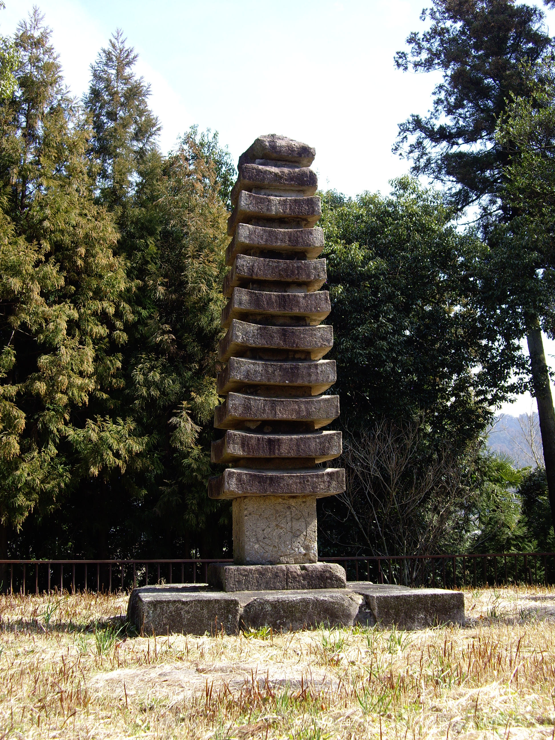
The ruins of Hinokuma-dera are remarkably well preserved beneath the surface. The pagoda site retains its core stone and all four foundation stones for the main pillars -- physical proof of a structure that likely rose as a multi-story tower over the Asuka hills. The Lecture Hall site preserves its tiled foundation. These remnants, uncovered across four excavation campaigns since 1969, earned the site designation as a National Historic Site in 2003. Today the grounds are peaceful and unassuming, a twenty-minute walk from Asuka Station on the Kintetsu Railway Yoshino Line. There are no towering pagodas, no gilded halls. Just the quiet evidence of what Korean immigrant carpenters built in the Japanese heartland more than thirteen centuries ago, hidden beneath the soil of one of Japan's most historically dense landscapes.
From the Air
Located at 34.457°N, 135.803°E in the village of Asuka, Nara Prefecture, in the southern Nara Basin of Japan. The site sits in hilly terrain south of the famous Takamatsuzuka Kofun. From altitude, the Asuka area appears as a patchwork of rice paddies, small villages, and wooded hills within the broader Yamato Plain. Nearest major airport is Kansai International Airport (RJBB), approximately 40 nautical miles to the west. Osaka Itami Airport (RJOO) lies about 25 nautical miles to the northwest. The Yoshino Mountains rise to the south, and the ancient capital of Nara is visible to the north.