Hiromura Embankment
On the night of December 24, 1854, the ground shook along the coast of Kii Province. The earthquake was severe, but the real danger was minutes away, churning toward shore across the dark Pacific. In the village of Hiro, at the innermost curve of Yuasa Bay, a local magistrate named Hamaguchi Goryo made a split-second decision. He ordered the sheaves of freshly harvested rice -- the village's entire economic output, stacked and drying in the autumn air -- set on fire. The blaze drew confused villagers uphill to the Hiro Hachiman Shrine, away from the waterfront. When the tsunami struck, 125 homes were destroyed, but because of Goryo's sacrifice, only 30 people died. Then he did something even more remarkable: he spent his personal fortune building a seawall so the village would never be defenseless again.
Six Centuries of Water and Stone
Hiro's battle with the sea stretches back to the Muromachi period. In 1399, the Hatakeyama clan, rulers of this part of Kii Province, built a stone wall roughly 2.7 meters high and 400 meters long as the village's first tsunami defense. Portions of that medieval wall, now reinforced with concrete, remain in use today. The protection it offered helped Hiro prosper, but the sea's patience outlasted the stone. In 1605, a tsunami from the Keicho earthquake breached the wall. Tokugawa Yorinobu, ruler of Kishu Domain, responded by commissioning the Wada Ishitsutsumi, a new 218-meter seawall built between 1661 and 1673. Hiro flourished as a relay port -- until the devastating 1707 Hoei earthquake sent a tsunami crashing through even that barrier, destroying 850 buildings and killing 192 people. Each generation rebuilt, each generation was tested, and the ocean kept coming.
The Fire That Saved a Village
The 1854 Ansei-Nankai earthquake struck during harvest season. Hamaguchi Goryo understood tsunamis well enough to know the earthquake was only the prelude. He ordered the rice sheaves -- representing the village's wealth and food supply -- ignited as beacons. Villagers, seeing their livelihoods burning, rushed uphill to investigate and found themselves gathered safely at the Hiro Hachiman Shrine on high ground when the wave arrived. The story of the burning rice sheaves became legend. Lafcadio Hearn retold it with embellishments in his 1897 book Gleanings in Buddha-Fields. Tsunezo Nakai adapted it as Inamura no Hi: The Burning Rice Fields, which Sara Cone Bryant translated into English. The account became required reading in Japanese school textbooks, turning Goryo into a national symbol of selfless leadership.
A Wall Built on Private Fortune and Public Need
Goryo's heroism did not end with the fire. Many survivors had lost their homes and livelihoods, and some were reluctant to return to a village so exposed to the sea. Goryo obtained permission from the Kishu Domain to build a new embankment using his own funds. Construction began in February 1855, less than three months after the earthquake, and served a dual purpose: defense against future tsunamis and a public works project that gave displaced villagers employment and reason to stay. By December 1858, the embankment stretched 670 meters along the coast. Plans to extend it further were abandoned as political turmoil of the Bakumatsu period -- with growing fears about foreign ships violating Japan's isolation policy -- diverted attention to coastal military defenses. The total cost has been estimated at 1.86 billion yen in modern terms.
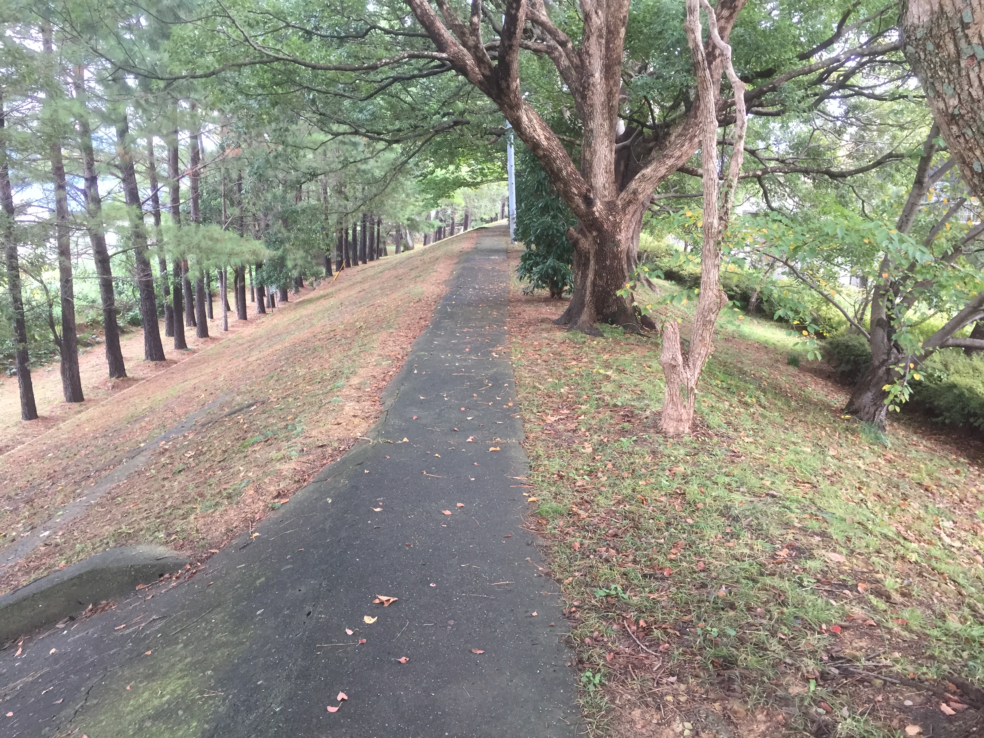
The Anatomy of a Shield
The Hiromura Embankment stands roughly five meters high with a base 20 meters wide, tapering as it rises. Its surviving length is 640 meters. Two cut-throughs with tide doors were added later, in 1926 and 1980. Between the embankment and the ocean sits the older Hatakeyama stone wall, creating a layered defense. Goryo planted the strip between the two barriers with Japanese black pine, Japanese spindle, and lacquer trees. This was not just landscaping -- he intended revenue from lacquer and wax sales to fund the embankment's ongoing maintenance, building sustainability into the structure itself. The embankment was designated a National Historic Site in 1938, recognizing both its engineering and the extraordinary story behind it.
Still Standing When the Water Came Again
The ultimate test of any seawall is time and the ocean's indifference to human engineering. The Hiromura Embankment passed. It held against a storm surge in 1913. It held against the tsunami of the 1944 Tonankai earthquake. And it held against the estimated five-meter tsunami of the 1946 Nankai earthquake -- nearly a century after Goryo laid the first stones. That a structure financed by one man's personal wealth, built in less than four years during a period of national upheaval, continued to protect a town into the modern era is a testament to both the quality of its construction and the foresight of its builder. The embankment stands today as proof that the best monuments are the ones that keep working.
From the Air
Located at 34.028N, 135.172E on the Kii Channel coast in the town of Hirogawa, Wakayama Prefecture. The embankment runs along the innermost curve of Yuasa Bay, visible as a linear feature separating the town from the shoreline. Nearest airports: Nanki-Shirahama Airport (RJBD) approximately 35nm to the south, Kansai International Airport (RJBB) approximately 55nm to the north. The coastline of the Kii Peninsula and the narrow inlet of Yuasa Bay are prominent visual references from altitude. Best viewed at lower altitudes where the embankment's width and the planted buffer zone between it and the medieval seawall can be distinguished.