Historic Eruptions of Mount Fuji
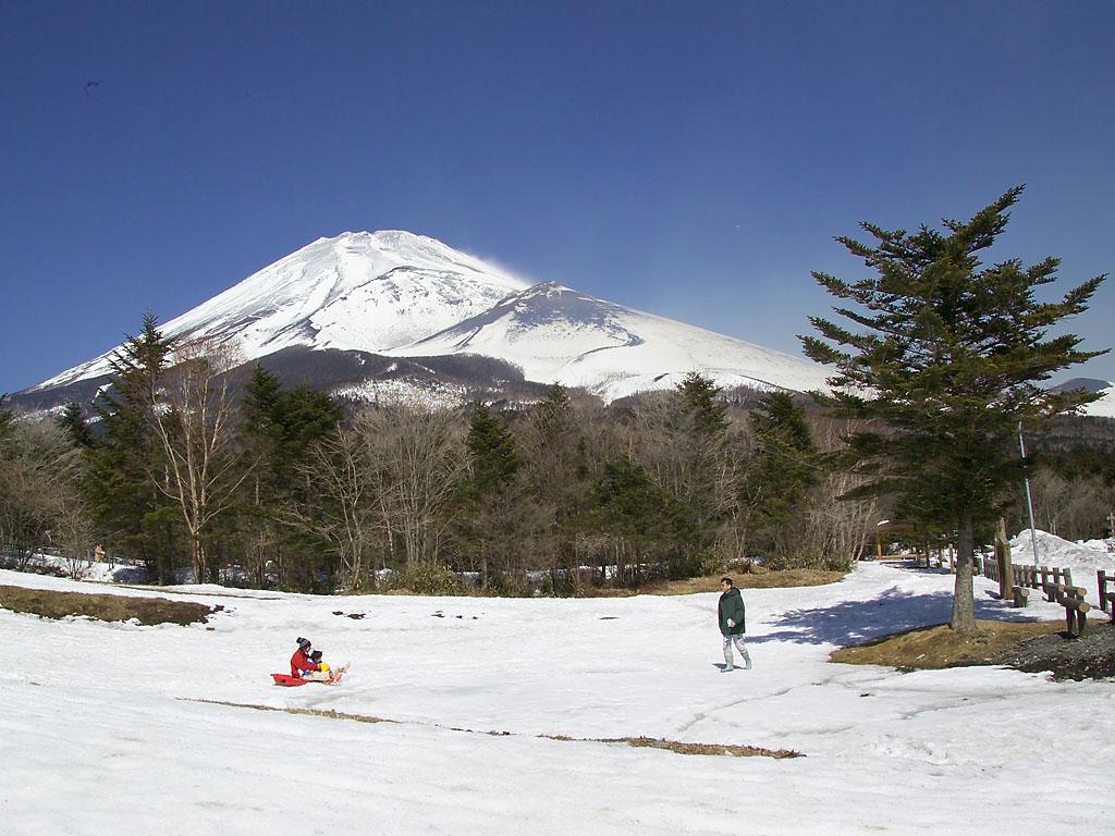
The mountain that appears on every postcard, every airline screensaver, every meditation app -- that perfectly symmetrical cone of white and blue -- is a loaded weapon. Mount Fuji is an active volcano. Its last eruption, in 1707, flung ash almost 100 kilometers to blanket the streets of Edo, the city now called Tokyo. Sixteen eruptions have been recorded since 781 AD, and scientists monitoring the magma chamber know that the internal pressure has been climbing since the massive Tohoku earthquake of 2011. Mount Fuji is not a relic. It is a geological event in progress, and the serene profile that defines Japan's skyline is simply the current frame in a 700,000-year story of fire and collapse.
Three Mountains in One
What most people see as a single peak is actually three volcanoes stacked on top of each other. The oldest, the Komitake volcano, became active 700,000 years ago. Its remnant peak sits about halfway up Mount Fuji's north face, at the approximate elevation of the fifth station where modern climbers begin their ascent. Around 100,000 years ago, Komitake reawakened and produced a new volcanic structure called Old Fuji, which threw out enormous quantities of scoria, volcanic ash, and lava through explosive eruptions. Then, after roughly 4,000 years of silence, activity resumed about 5,000 years ago, inaugurating the New Fuji period that continues to this day. Geologists have called New Fuji "a department store of eruptions" because it exhibits nearly every volcanic phenomenon: lava flows, magma ejection, scoria falls, ash clouds, flank collapses, and side eruptions. The black ash that characterizes its deposits marks the newest geological layer in the region.
The Night Aokigahara Was Born
In 864 AD, the sixth year of the Jōgan era, Mount Fuji's northeast side erupted and did not stop for ten days. The summit ejected immense quantities of cinders and ash while lava poured down the western flank and into the lowlands below. A large lake called Se-no-umi, which had existed at the mountain's base, was cut in two by the advancing lava flows, creating Lake Saiko and Lake Shōji -- two of the five lakes that now ring Fuji's northern foot. The lava destroyed homes and took lives, throwing cinders and ash as far as Kai province. But the eruption's most enduring legacy is what grew on the lava after it cooled. The flat, hardened basalt plain became the foundation for the Aokigahara forest, one of the densest woodlands in Japan. Walk through Aokigahara today and you are walking on the 864 eruption -- every twisted root gripping cooled lava, every hollow beneath the canopy a remnant of that violent geological moment.
The Earthquake That Lit the Fuse
The Hōei eruption of 1707 was not a sudden event -- it was a chain reaction triggered by seismic forces that had been building for years. On October 28, 1707, the Great Hōei earthquake, measuring 8.7 on the Richter scale, devastated Osaka and compressed the magma chamber 20 kilometers beneath Mount Fuji. Basaltic magma from the deep chamber was forced upward into a shallower dacitic magma chamber at 8 kilometers depth. When the two chemically different magmas mixed, the result was a Plinian eruption -- the explosive, towering kind. Four years earlier, the Genroku earthquake of 1703, an 8.2 magnitude event, had already clamped the mountain's internal plumbing at both the 8-kilometer and 20-kilometer depths. Researchers have concluded that neither earthquake alone would have caused the eruption; it took both, acting in sequence, to set off the chain of events that blew open the Hōei crater on December 16, 1707.
Ash Over Edo
The eruption that followed was remarkable for its reach. Volcanic ash and scoria rained down across the provinces of Izu, Kai, Sagami, and Musashi, depositing material almost 100 kilometers from the summit. In Edo -- a city of over a million people, the seat of the Tokugawa shogunate -- ash accumulated in the streets. The Hōei eruption left a visible scar on the mountain: the Hōei crater, clearly visible today on the southeast slope, marks the exact point where the explosion tore through the flank. Twelve eruptions had already been recorded between 800 and 1083, but then the mountain went quiet for over 400 years before Hōei broke the silence. Now, more than 300 years have passed since 1707 without a single eruption -- the longest quiet period in Fuji's recorded history.
The Pressure Beneath
Mount Fuji is not dormant. After the devastating 2011 Tohoku earthquake and tsunami, scientists found that the internal pressure of Fuji's magma chamber had increased to an estimated 1.6 megapascals. Researchers monitor the volcano by measuring CO2 emissions in its deeper regions; before 2011, readings sat below the detection limit of 5 grams of CO2 per cubic meter per day. According to a five-stage model for volcanic gas release, Mount Fuji currently sits at Stage I -- magma at considerable depth, no regular surface emissions -- but the post-2011 pressure increase has sharpened attention. The Japanese government has estimated that a full eruption could cause financial damage of 2.5 trillion yen, roughly 25 billion dollars. For now, the mountain holds its silence, as perfectly composed as it appears on every photograph. But 700,000 years of geological evidence suggest that composure is temporary.
From the Air
Located at 35.3629N, 138.7316E, the summit of Mount Fuji rises to 3,776 meters (12,389 feet) and is the dominant visual landmark for all of central Honshu. The Hōei crater is visible on the southeast slope as a distinct depression below the summit. Best observed from 10,000-15,000 feet for the full volcanic profile, or at lower altitudes to see the Fuji Five Lakes and Aokigahara forest on the northern foot. Nearest airports: Mt. Fuji Shizuoka Airport (RJNS) approximately 30nm south, Tokyo Haneda (RJTT) approximately 60nm east, Matsumoto Airport (RJAF) approximately 60nm northwest. Exercise caution regarding terrain clearance and potential turbulence near the summit.